
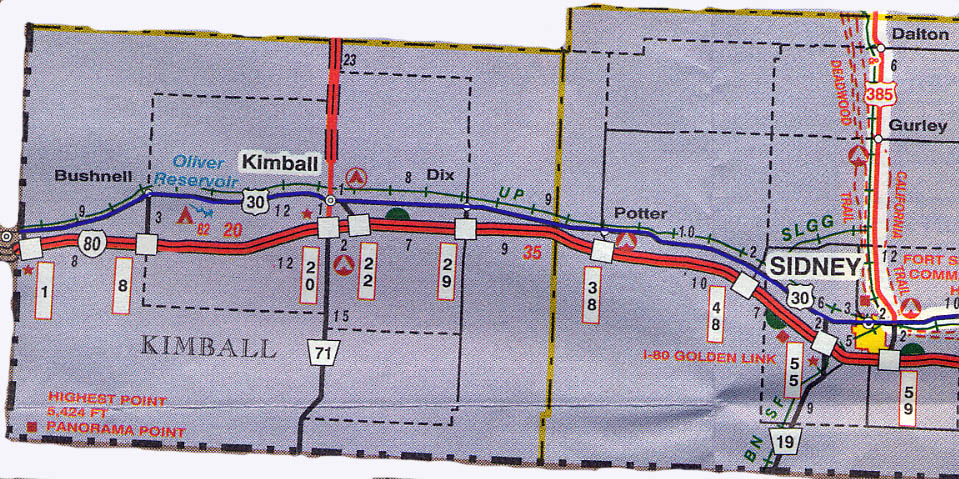

Great Platte River Archway
Nebraska built a huge(!) arch over I-80 near Kearney, named
the Great Platte River Archway. Essentially it is a history of
Nebraska transportation (from wagon trails to railroads to LHA
to I-80). $7 admission (as of summer 2001); interest to price
ratio would lean towards a so/so value.
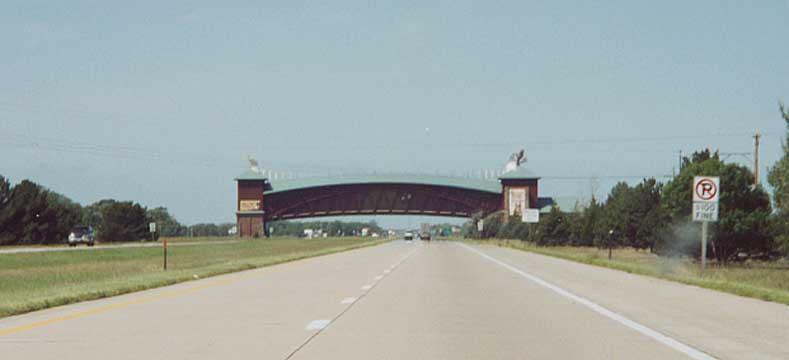
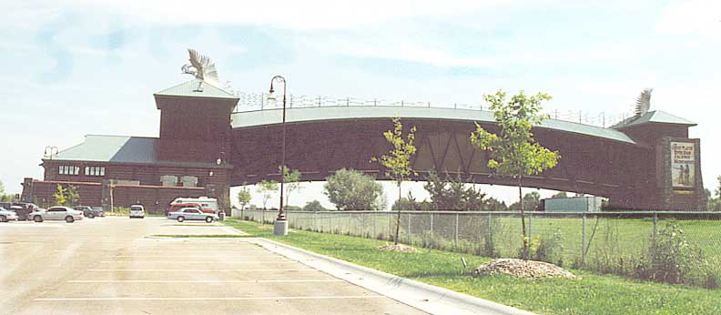
View of the Great Platte River Archway from I-80 going WB towards
it
Top photo - The Archway from it's parking lot
Bottom
photo - Approaching the archway along I-80 WB (both photos from
August 2001)

Lincoln Highway in middle Nebraska (just off US 30) (from June 1998)
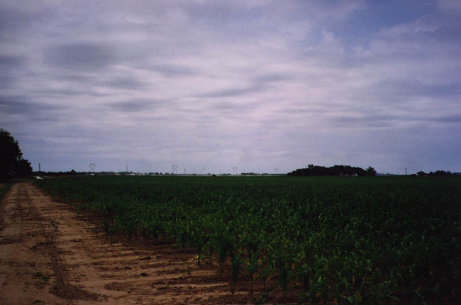
Now I'm no city slicker, I've lived almost my entire life with farm fields nearby, but I hadn't seen anything so flat and expansive till I came out to Nebraska. The fields as far as the eye can see just grabbed my attention. Photo just to the right of the one above (from June 1998)
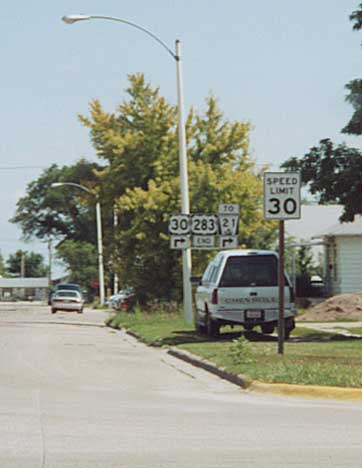
The northern end of US 283. It's supposed to end at US 30, but this sign says otherwise. See this page for more about this. (from August 2001)
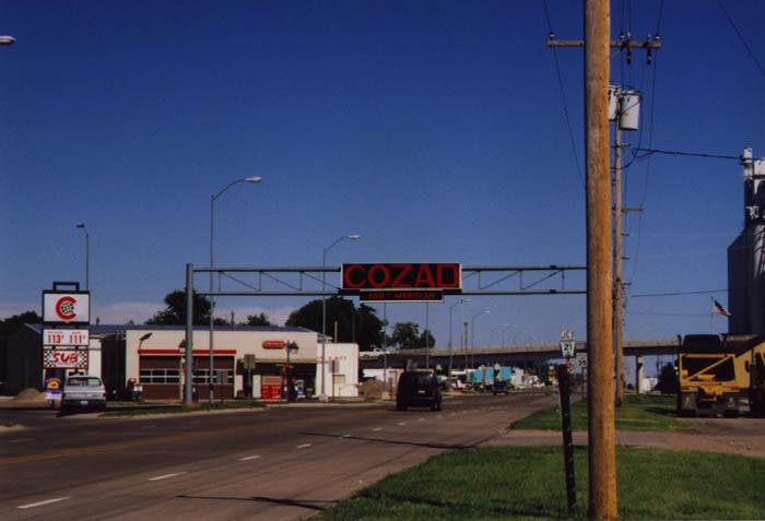
If you're an centenian, you'll want to visit Cozad. The town likes you to know you're crossing the 100th meridian. (from June 1998)
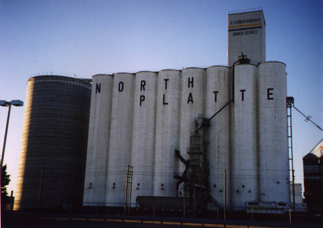
I've seen my share of grain elevators here in Central Ohio, but they look like kids toys compared to what I saw in Nebraska. The funny thing is, as soon as the one you've passed 10-15 miles before disappears to the horizon behind you, you see one stick out of the horizon in front of you and grow bigger as you approach it. North Platte's grain elevator get's photographed because that is where I stopped for the night on my journey. (from June 1998)
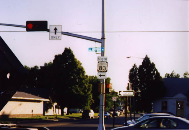
Nebraska sort of goes retro with their US Shields in some cases. The only thing missing from this US 83 shield would be for it to be a cutout instead of including the black background. On the southside of North Platte (from June 1998)
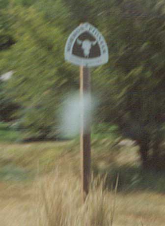
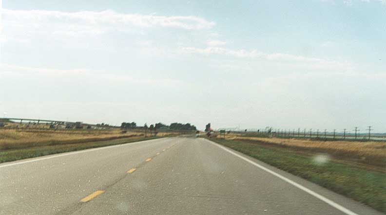
A Nebraska certified wagon trail along US 30 (but no markings
for the LH, go figure) This one was located west of Ogallala (from
August 2001)
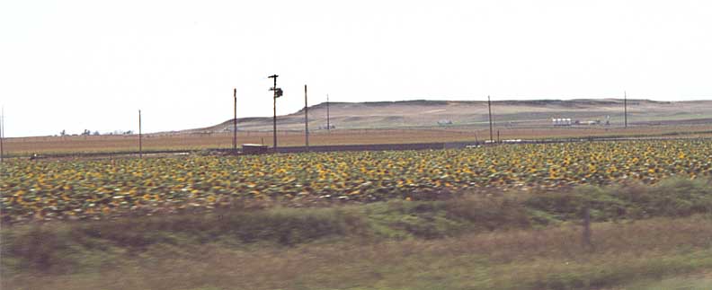
Sunflower fields! I never saw so many sunflowers in one place
as I did here in Western Nebraska. Looking north from US 30 between
Chappell and Sidney.
(from August 2001)
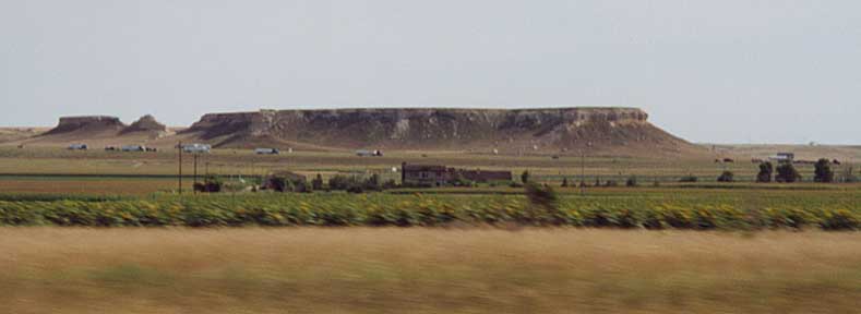
More Sunflower fields, but as you look south you can see I-80 and the sand cliffs that mark the eastern extent of the Rocky Mountains. US 30 near Sidney (from August 2001)
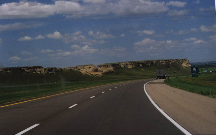
The same sand cliffs as in the picture above? Going WB on I-80 near Sidney (from June 1998)
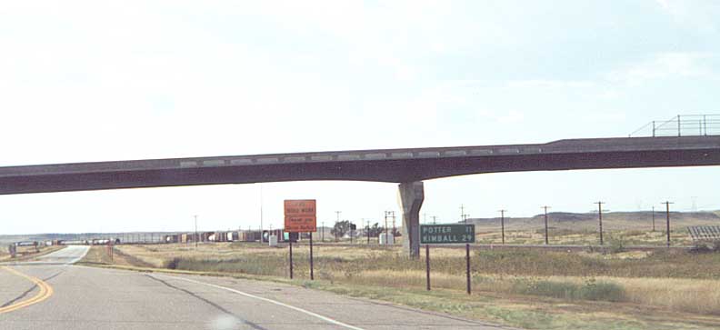
Long bridge over both US 30 and the Union Pacific rail line (to the right). I think this bridge replaced a wooden version that I saw when I was out here in 1998. Near Brownson (from August 2001)
One of several cases that you can see (and photograph) I-80, the Lincoln Highway, and the Union Pacific in the same frame. In this case at the Kimball/Cheyenne Co line in Western Nebraska (from August 2001)
For other Nebraska road photos I've taken (that have nothing to do with the Lincoln Highway), they can be reached at this page.
Links
Chris Geelhart's US 30 history in Nebraska
Nebraska roads (Jesse Whitten)
Nebraska Dept. of Highways Lincoln Highway Photos
Nebraska LHA (whenever they get a website going)
This page was originally part of Andrew Field's Wyoming Highway pages from 1999-2000. It was transfer to Roadfan.com on August 15, 2000 as part of the 'Great Lincoln Highway Adventure.' Now the Nebraska LH photos have their own home as of July 28, 2003/ last updated on February 5, 2005
Questions, comments, and submissions can be sent to Sandor Gulyas
Go west to Eastern Wyoming LH Pictures | Return to Sandor's Lincoln Highway Photos home