

Southeast corner of Wyoming
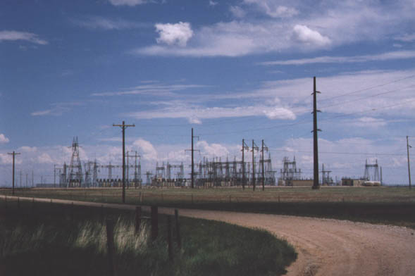
Expansive electric substation near Cheyenne along Interstate
80 (from June 1998)
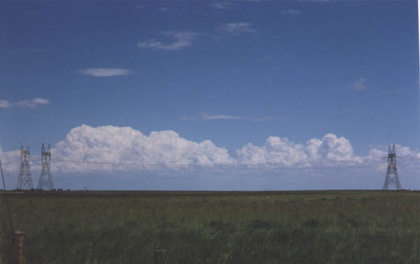
Twin pylons deliver electricity across the high plains of Southeast Wyoming (from June 1998)
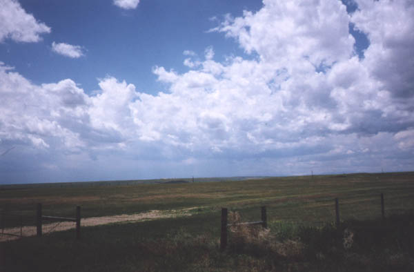
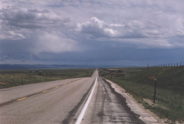
Fences mark the boundary between ranches. This is a picture of vast nothingest (actually I think it's a valley), south of Interstate 80, east of Cheyenne (toward Denver). Can you find a similar place in the Eastern U.S.? (from June 1998)
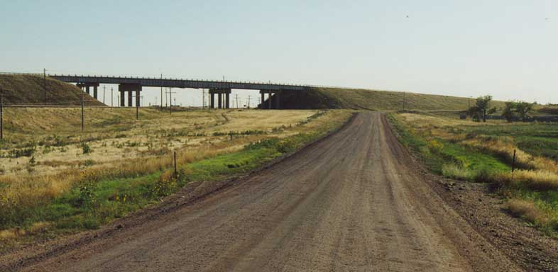
Original LH approaching I-80/US 30 between Burns and Cheyenne. First example of the Lincoln Highway unpaved I encountered along the way. (from August 2001)
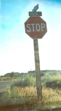
Old US 30 east of Cheyenne -- Although US 30 has been rerouted onto I-80 in this area, this US 30 street sign remains on the former route. (from August 2001)
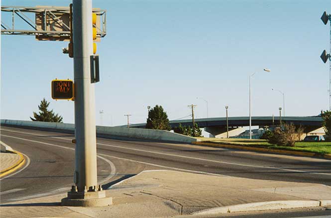
North end of I-180 at US 30 in Cheyenne (see Andy's I-180 page for significance) (from August 2001)
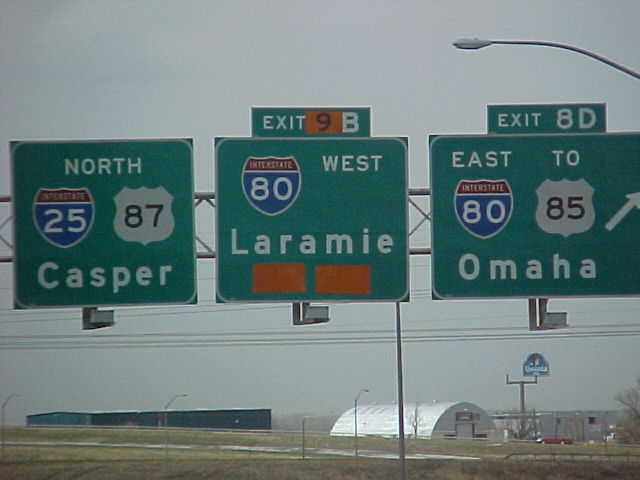
While this photo has nothing to do with the Lincoln Highway, I had to find a home for it. From Steve Mannix, this photo shows Wyoming DOT altering the exit numbering for I-25 @ I-80 outside of Cheyenne. Hopefully this was temporary due to construction on the interchange. Still, why the jump from B to D? What happened to A or C? (from 2002)
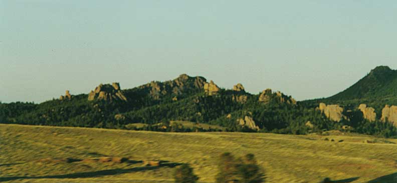
Gawdy Hills along the LH corridor (from August 2001)
Tree Rock
A Tree that is growing out
of a rock! Once upon a time it was along the side of the Lincoln
Highway, now it's in the median of I-80!
Located
between Cheyenne and Laramie. (all photos from August 2001)
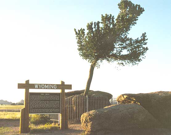
Front view
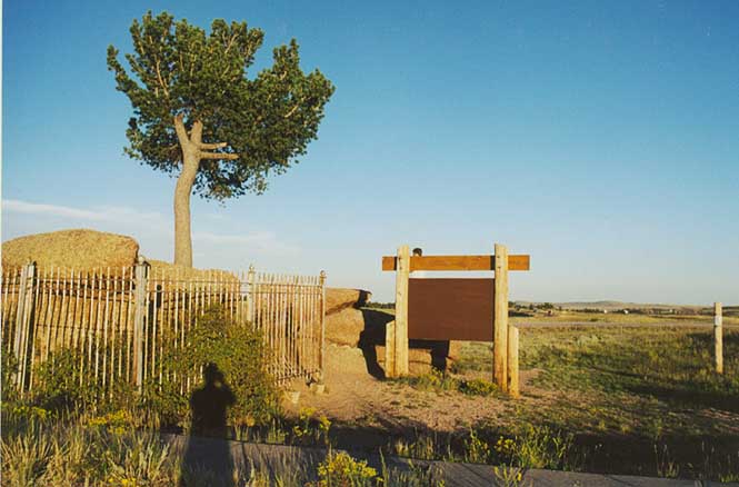
Back View
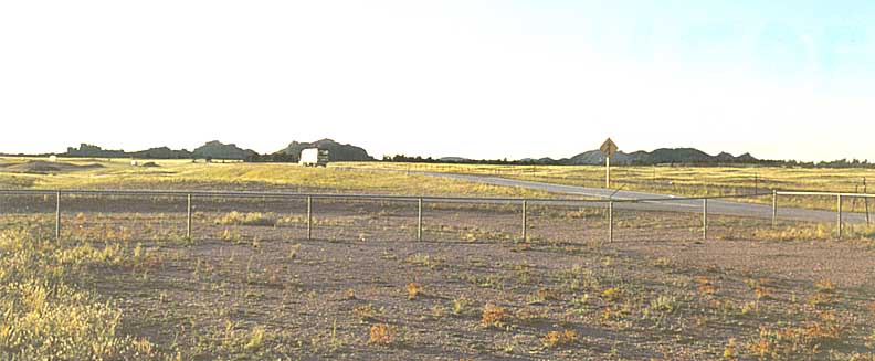
Looking west
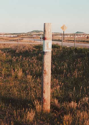
Lincoln Highway marker at Tree Rock
Sherman Peak - Highest point along I-80 & the Lincoln Highway (both from August 2001)
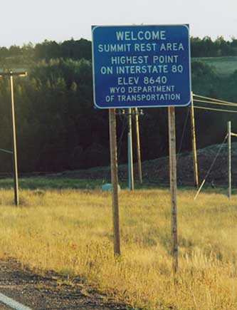
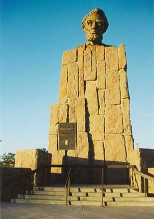
Abraham Lincoln monument at Sherman Peak originally on the south side of I-80 (before I-80 was built).
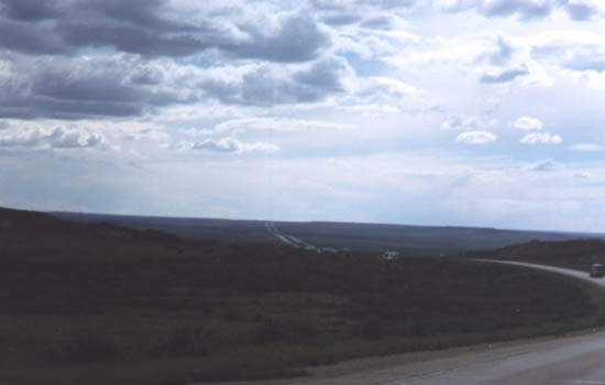
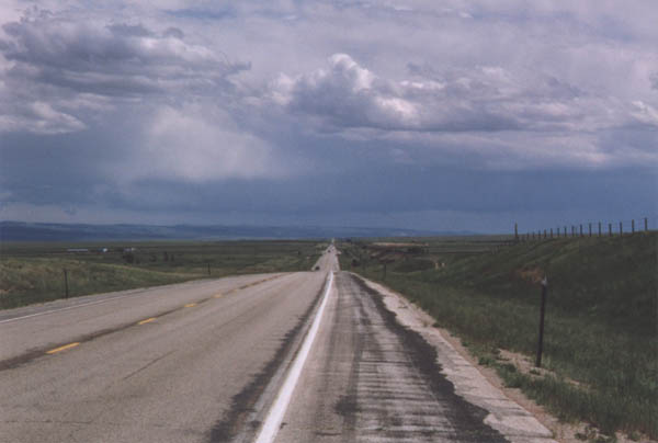
Bosler Vista - Old Lincoln Highway /U.S. 30-287 looking east back to Laramie. (all 3 from June 1998)
Page created on July 30, 2003 / Last updated on December 12, 2003
Questions, comments and submissions can be sent to Sandor Gulyas
Go east to Western Nebraska | Go west to Medicine Bow | Return to Wyoming Adventure Page