Sandor Gulyas's Great Lincoln Highway Adventure
Photo Journey Along Interstate 80 and U.S. 30

Note: This page was originally part of Andrew Field's Wyoming Highways Home Page. The comments were written by Andrew and Sandor. Entries not originally part of that page are designated with an asterisk (*).
WYOMING
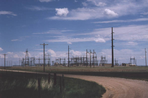
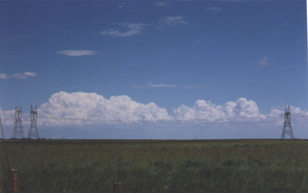
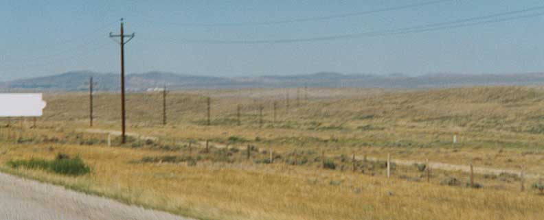
Power Lines
Expansive electric substation near Cheyenne along Interstate 80
Twin pylons deliver electricity across the high plains of Southeast Wyoming
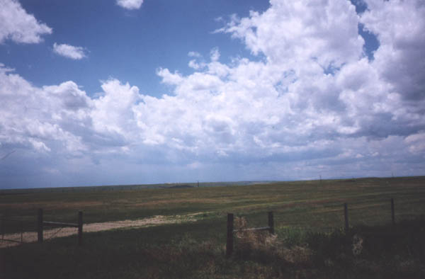
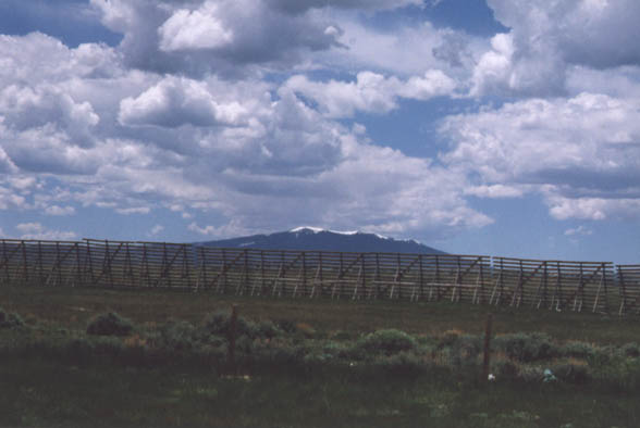
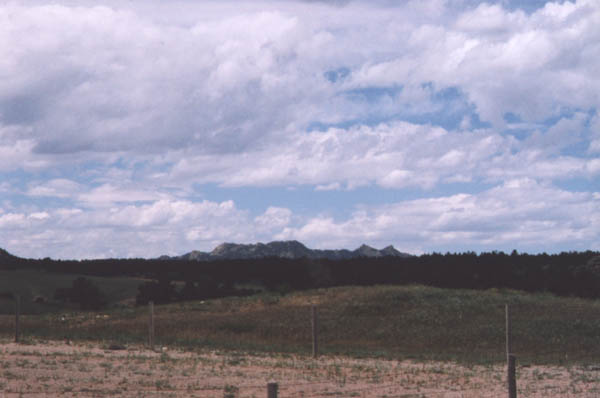
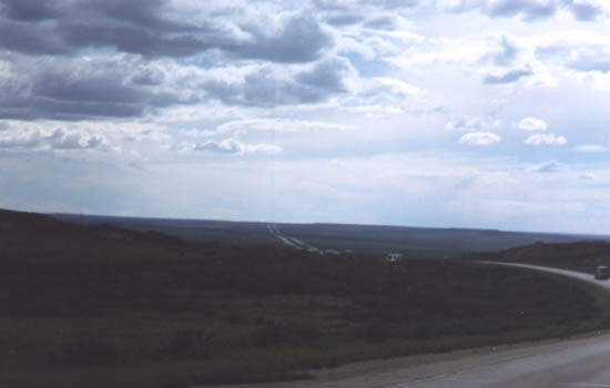
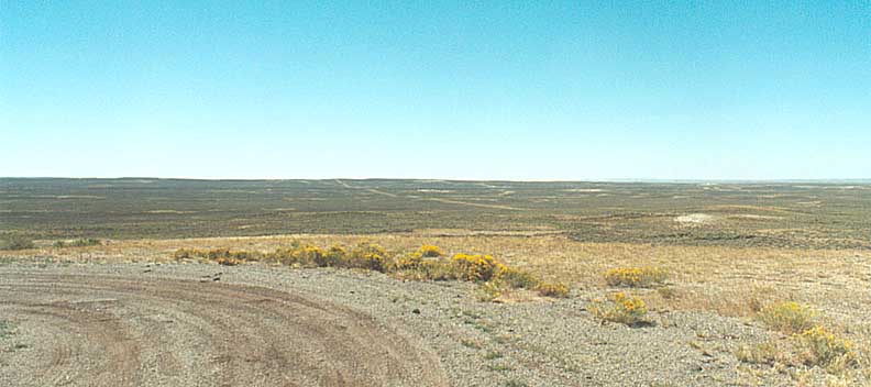
Wyoming Ranchland
Fences mark the boundary between ranches. This is a picture of vast nothingest
(actually I think it's a valley), south of Interstate 80, east of Cheyenne (toward Denver). Can you find a similar place in the Eastern U.S.?
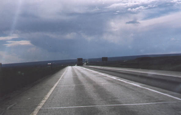
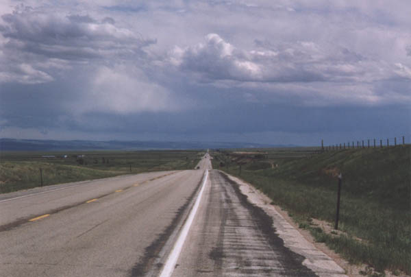
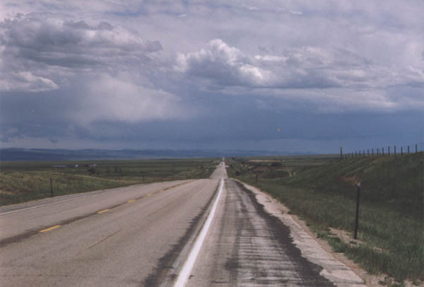
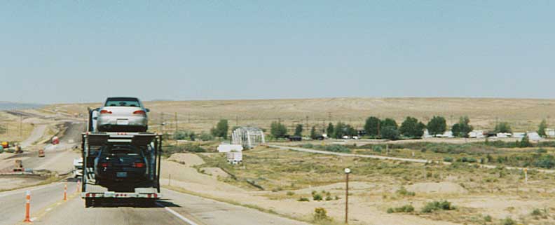
Interstate 80 Photos
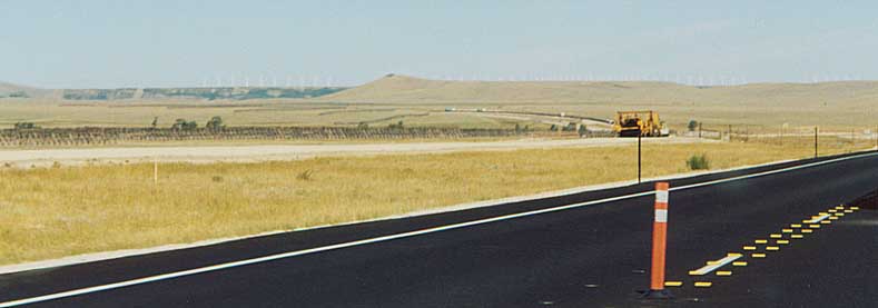
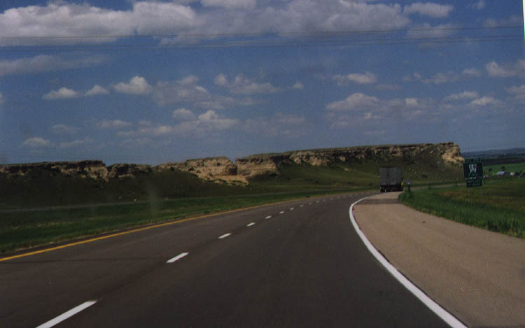
Interstate 80 in Southeastern Wyoming.
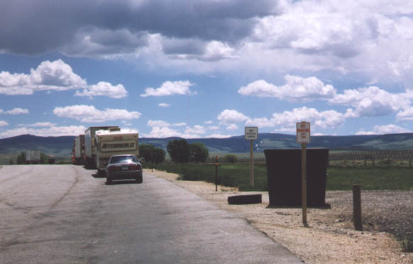
Interstate 80 Parking Area signage. This was a bad attempt at humor, No parking in a parking area?!?
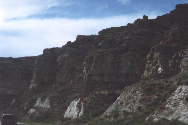
Rock cuts along Interstate 80 near Rock Springs.
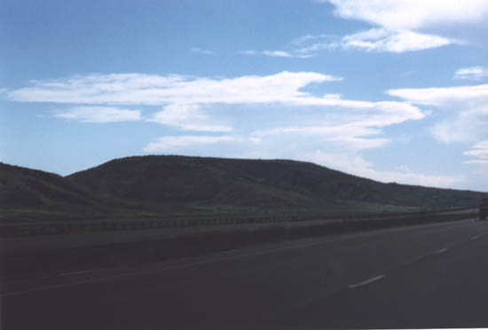
Interstate 80 near the Snowy Range.
Interstate 80 with Snowy Range and Elk Mountain nearby.
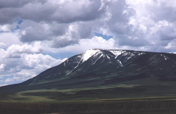
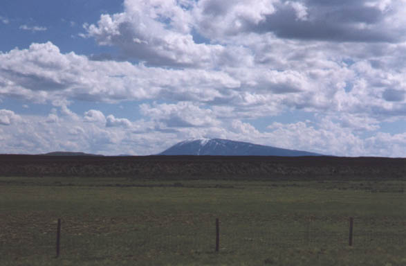
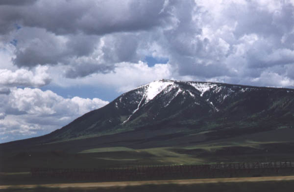
Elk Mountain
Elk Mountain is located south of Interstate 80 just east of the US 30-287-Wyo 130 junction and northeast of Arlington. Its distinctive shape is visible for miles from both directions of Interstate 80.
Elk Mountain #1
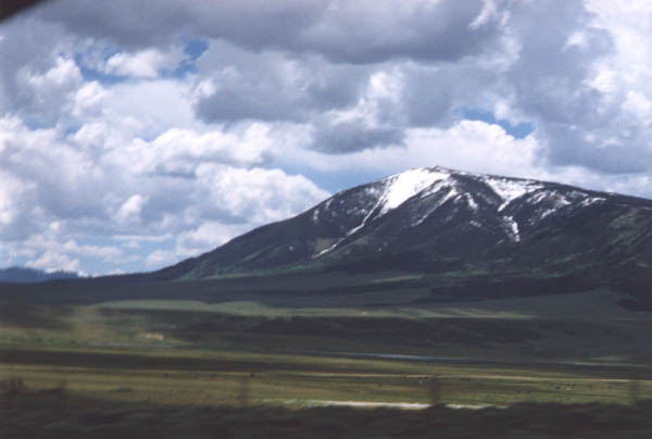
Elk Mountain #2
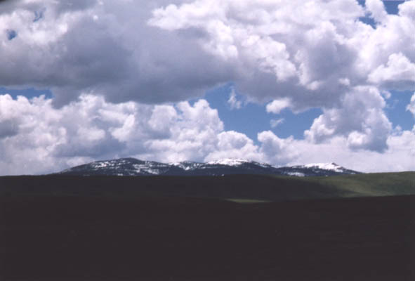
Elk Mountain #3
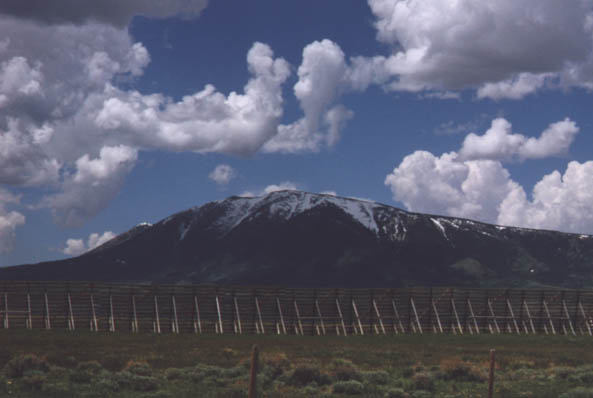
Elk Mountain #4
Elk Mountain #5
Elk Mountain #6
Overland Trail
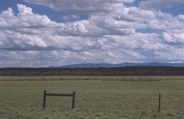
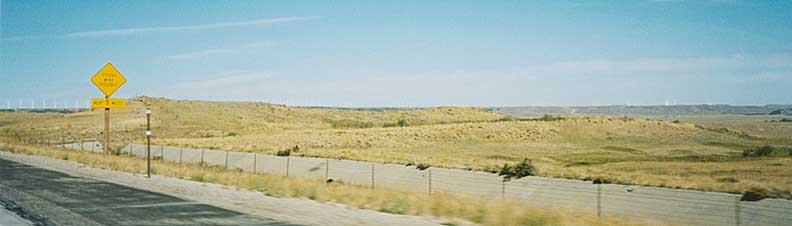
Wind Farm near Arlington (distant)
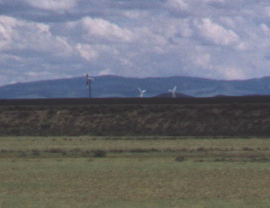
Wind Farm near Arlington (close-up)
*Wind Farm #3
*Wind Farm #4
Snowfence near Elk Mountain prevents snow drifts from blowing onto the highway
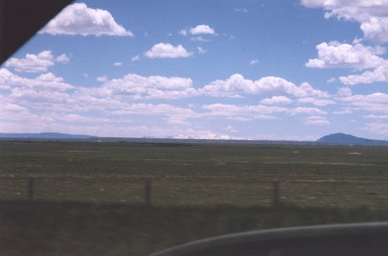
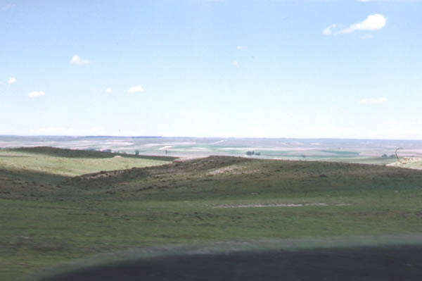
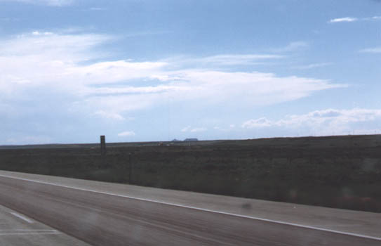
High Plains
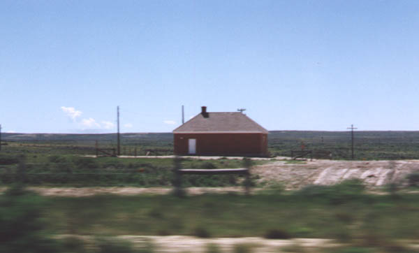
Union Pacific Railroad
Brick house along railroad. This lone brickhouse is located along the south side of Interstate 80. I believe this is related in some way to the communications along the railroad -- some sort of telephone transformer or something like that. Anyone else have any ideas? They are fairly evenly spaced along the railroad.
When I lived in Green River, Wyoming, I remember one subdivision of that town had a plot of land that had one of these brick buildings built on it rather than a normal house! Pretty weird.
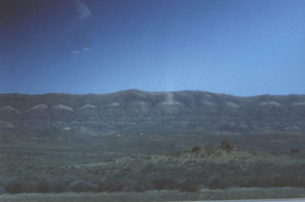
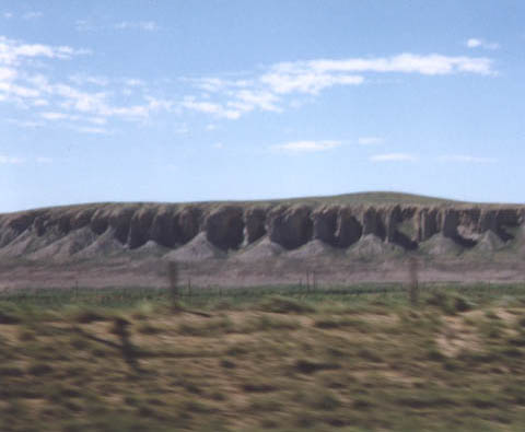
Red Desert
Red Desert #1
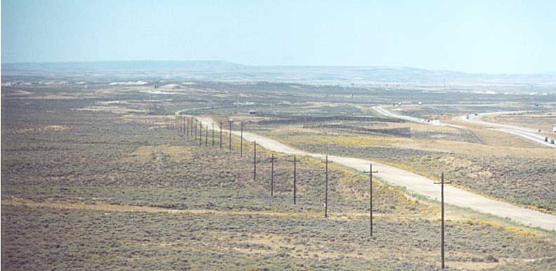
Red Desert #2 This picture shows the progression of transportation in Wyoming. First the Union Pacific Railroad, then the Lincoln Highway (U.S. 30), and finally Interstate 80.
Red Desert #3
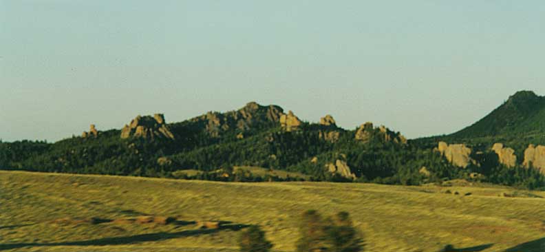
Vedauwoo
Vedauwoo and Pole Mountain Area #1 This is a great area for University of Wyoming students to climb and hike on the weekends (or weekdays, if they're playing hookey!).
Vedauwoo and Pole Mountain Area #2
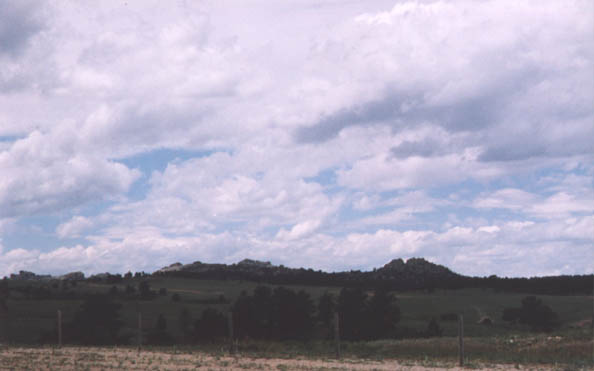
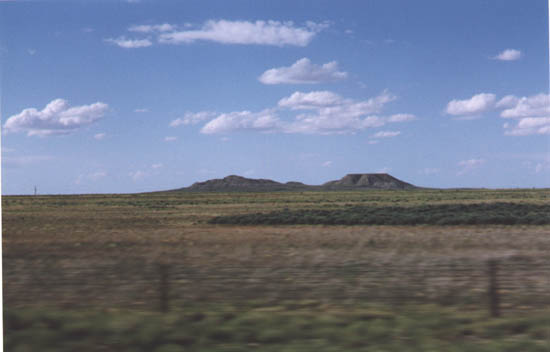
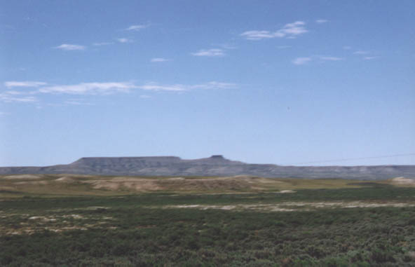
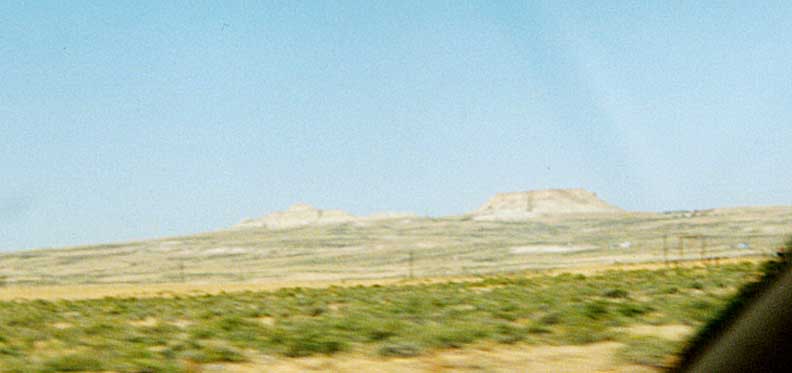
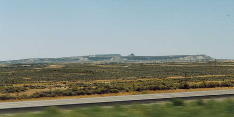
Buttes
Twin Buttes #1
Twin Buttes #2
Twin Buttes #3
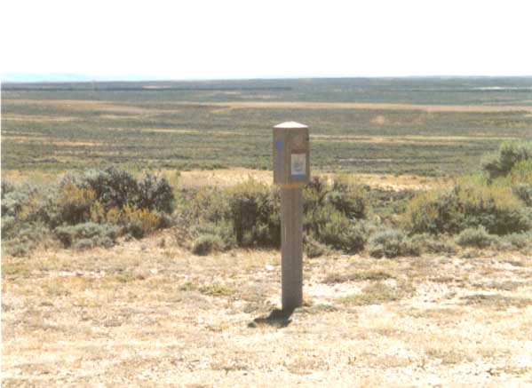
Old Lincoln Highway
U.S. 30-287 near Bosler #1
U.S. 30-287 near Bosler #2
U.S. 30-287 near Bosler #3
*Other various photos (section not part of original page)
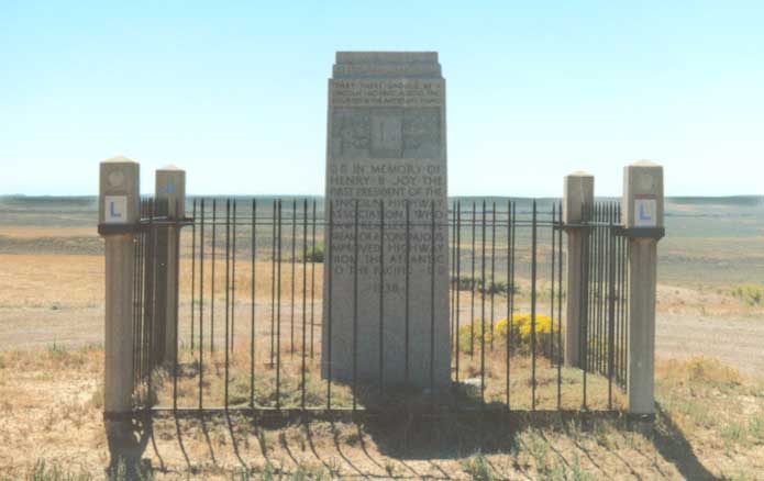
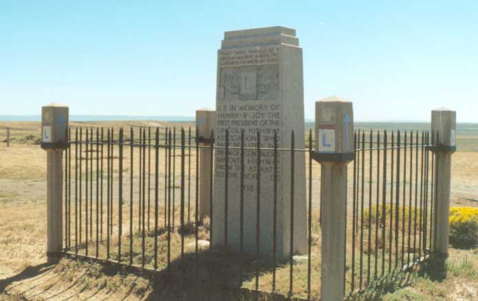
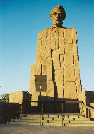
Henry Joy Monument along I-80 at Exit 184, originally for the LH.
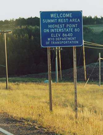
Sherman Peak, highest point on I-80 -- Just east of Laramie. Also highest point for LH
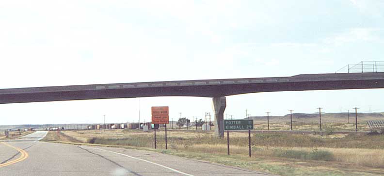
15mph exit from I-80. Rural exit to some ranch road
Green River Gorge from LH corridor
Gawdy Hills from LH corridor
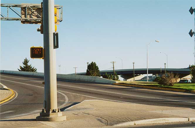
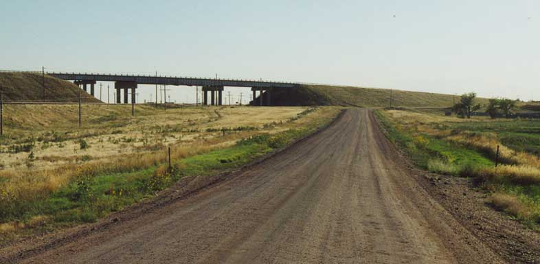
North end of I-180 at US 30 (see Andy's I-180 page)
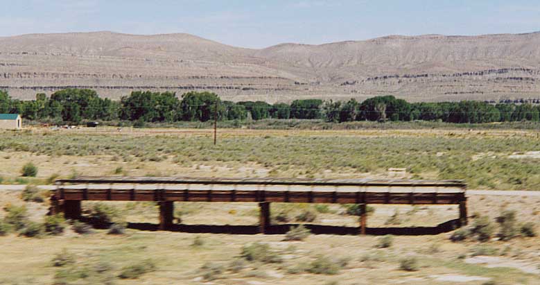
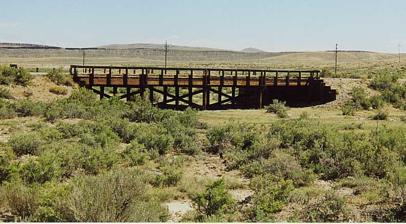
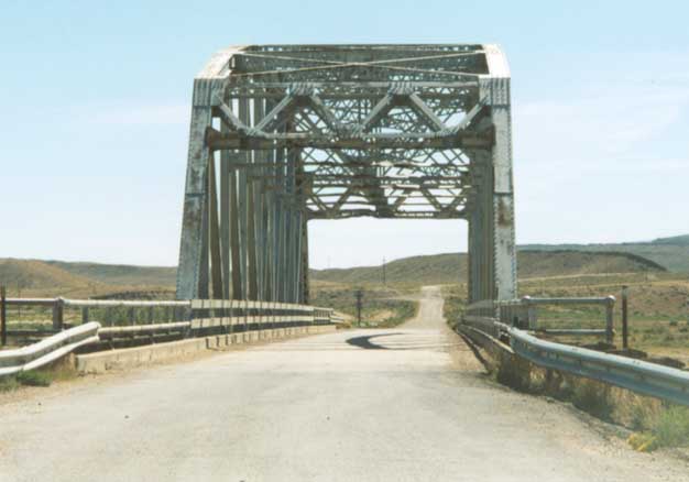
Wooden bridge for old LH over Dry Gulch near North Platte River
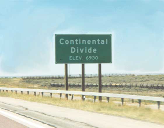
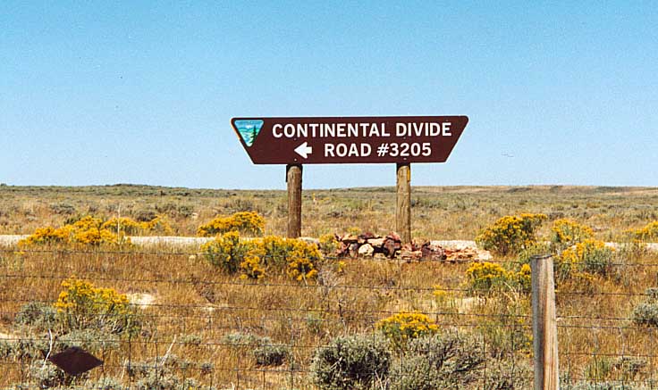
Continental Divide along I-80/LH corridor
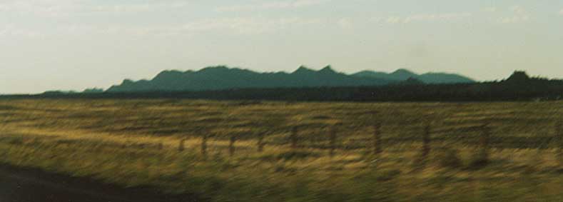
View of hills and buttes from LH corridor, location unknown
Twin Buttes - Mountains between Rawlins and Rock Springs (?)
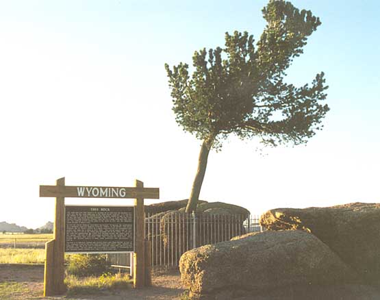
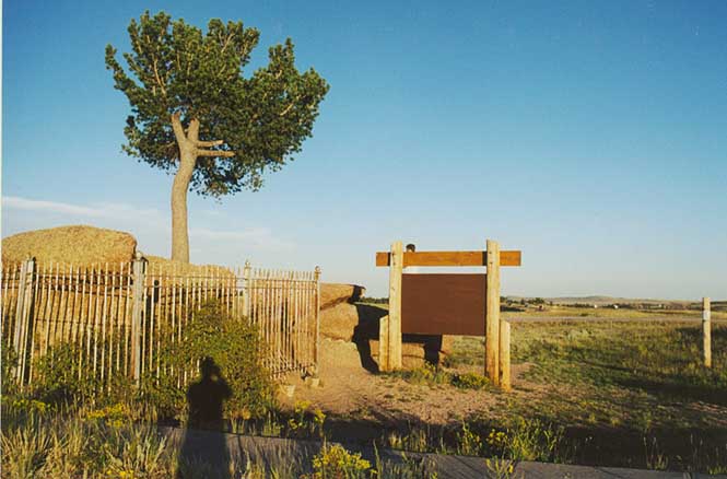
Tree Rock -- Tree that is growing out of a rock. Once upon a time it was along the side of the Lincoln Highway, now it's in the median of I-80! Between Cheyenne and Laramie
South Plateau - Looking south of I-80 between Green River and Evanston
Original LH approching I-80/US 30 between Burns and Cheyenne. First example of unpaved LH I encoutered along the way.
Immediately west of Fort Steele looking west at original right of way for LH
Old Lincoln right-of-way between Walcott and Rawlins (or
>further west)
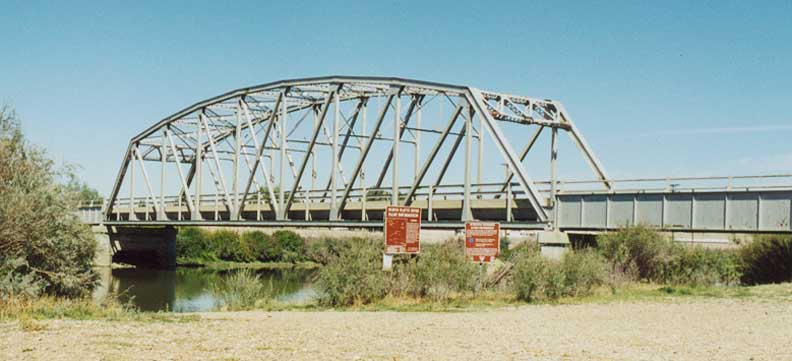
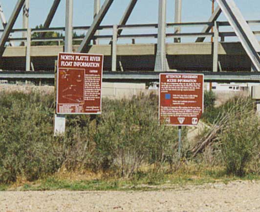
Bridge over the North Platte River near Fort Steele
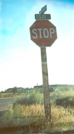
Old US 30 east of Cheyenne -- Although US 30 has been rerouted onto I-80 in this area, this US 30 street sign remains on the former route.
NEBRASKA
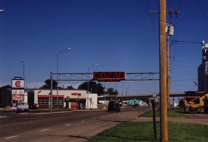
Cozad, Nebraska
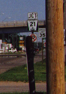
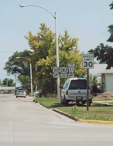
Close-up of Nebraska 21 Shield
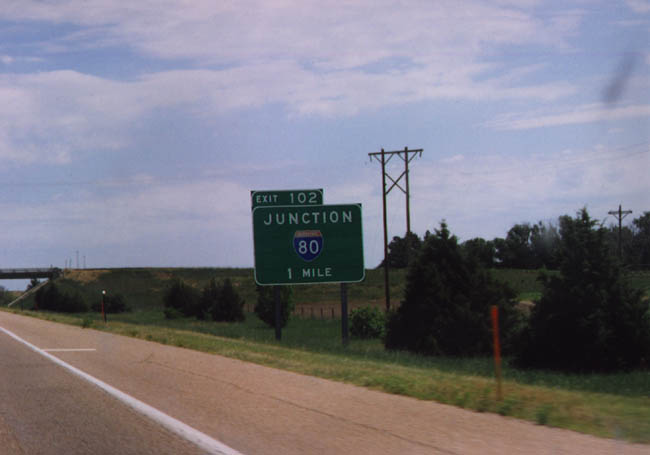
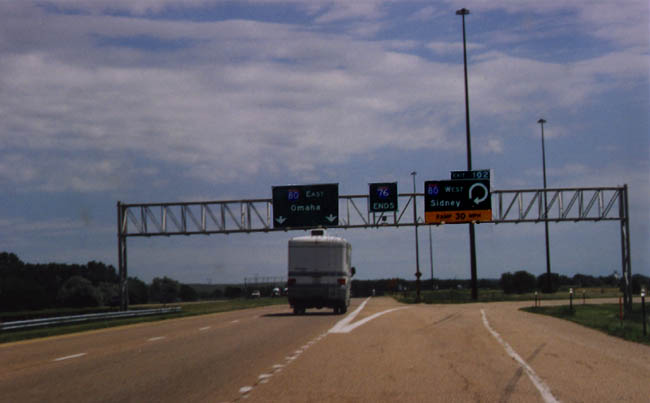
Eastbound Interstate 76; Junction Interstate 80
End Interstate 76
Eastbound Interstate 80 at Junction Business Loop Interstate 80 and Nebraska Route 19 at Sidney
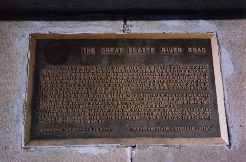
Great Platte River Road Plaque
Lincoln Highway in Nebraska
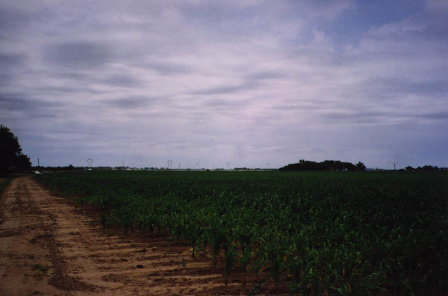
Farmers Field
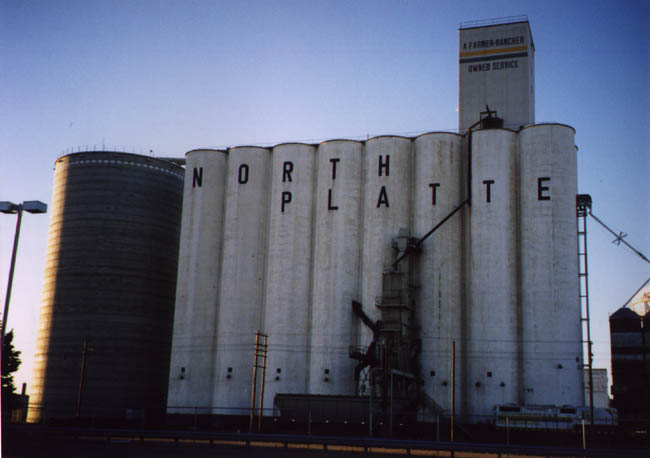
North Platte Grain Elevator
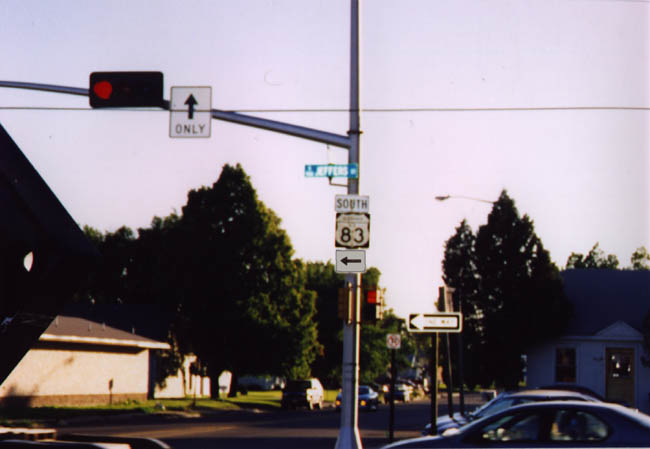
Old Style U.S. 83 Shield
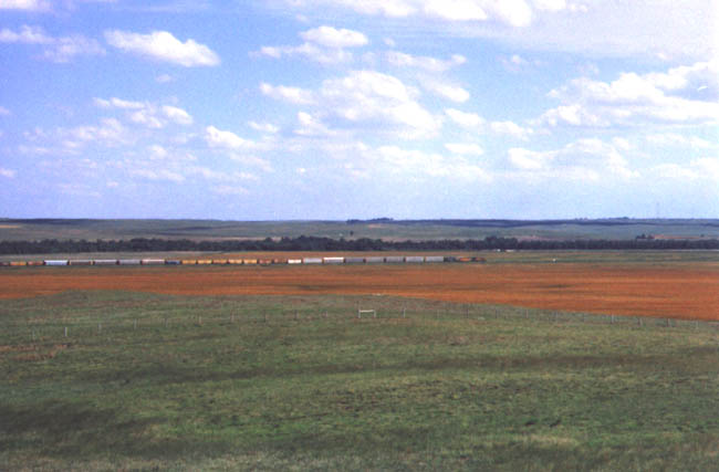
Train Across Prairie
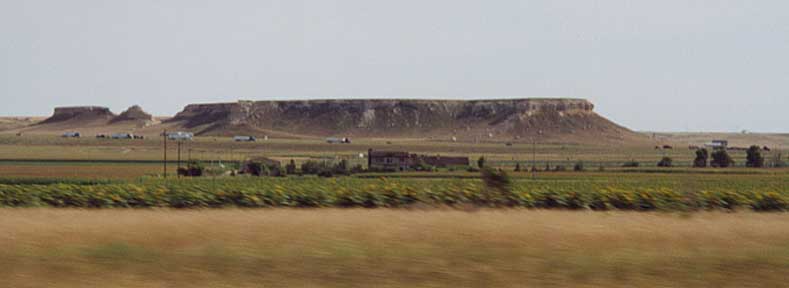
*Facing south and west in Western Nebraska, sunflowers between US 30 and I-80 and sand cliffs beyond I-80.
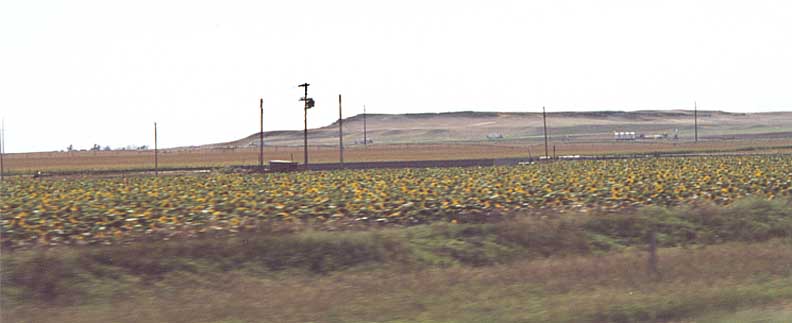
*Sunflower field along the northside of US 30 in Western Nebraska
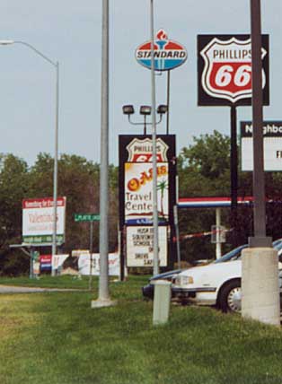
*The return of Standard Oil signs (instead of Chevron?), this one is near York by the I-80/US 81 interchange
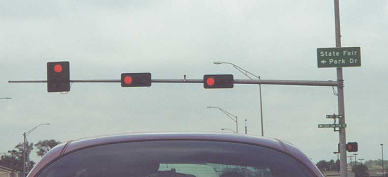
*State Fair Drive -- On the near eastside of Lincoln, Neb. At least you'll know what street to take to the Nebraska State fair (along US 6)
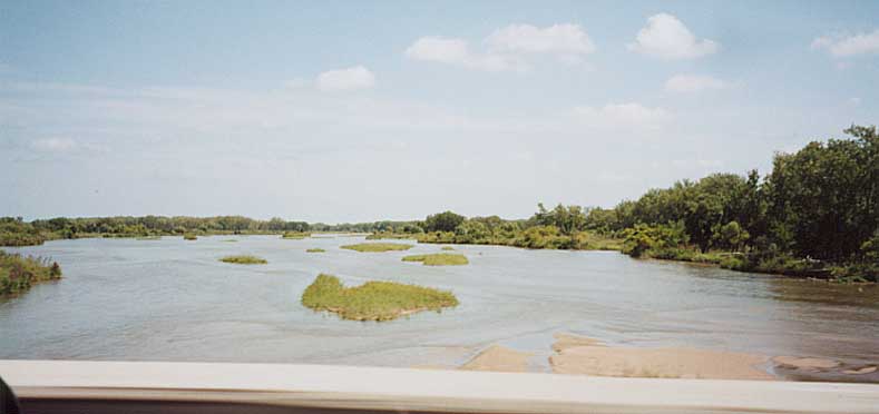
*Picture of the Platte River, from Nebraska 10 (south of I-80)
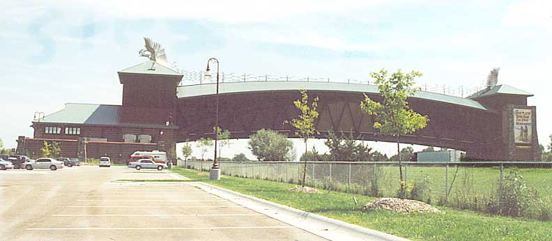
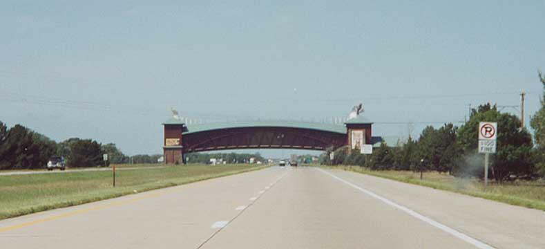
*Nebraska built a huge(!) arch over I-80 near US 81. It is called the Great Platte River Archway. Esentially it is a history of Nebraska transportation (from wagontrails to railroads to LHA to I-80). $7 admission - so/so price
*Pioneer route -- A Nebraska certified wagon trail along US 30 (but no markings for the LH) This one is west of Ogallala
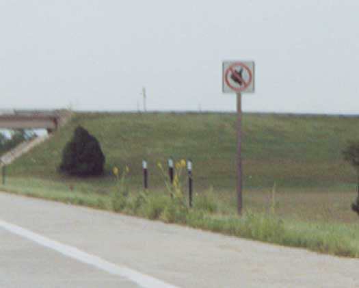
*Don't stick your thumb out along I-80 in Nebraska (No Hitchhiking sign)
*I-80 on the far left, Lincoln Highway (US 30) center, and Union Pacific on the right. Either western Nebraska or eastern Wyoming
*Nebraska ??? going over both US 30 and the rail line in far(!) Western Nebraska (near Brownson)
*North end of US 283 -- US 283 ends before you cloverleaf back to US 30 in Lexington.
This page adapted by Marc Fannin Tuesday, August 15, 2000/Last revised February 19, 2002
Return to Sandor Gulyas' Lincoln Highway Photos