Before Interstate 70 was completed into the Columbus area from
the east, it took a northwesterly turn from its general east-west
course at the Ohio 158 interchange to continue towards and temporarly
merge into US 40* . After I-70 was completed west of this area
around 1968 (source
for date, part of The
Unofficial Ohio State Highways Web Site), the two east-west
segments were connected directly, and the temporary northwest-southeast
section became an isolated section of freeway running from Ohio
158 immediately north of the current I-70 interchange to US 40.
Following that, the westbound roadway was abandoned and the eastbound
roadway was converted to a two-lane highway, Ohio 158 was rerouted
onto the two-lane highway from its original due-north route into
the center of Kirkersville, and the interchange at US 40 was rebuilt
as a "T" intersection (though probably not at the same
time and not necessarily in that order). By 1983, Sandor didn't
see any interchange between the two routes.
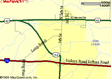
Here
is a topographic
map of the area -- the brown contours reflect the route of
the temporary I-70 freeway before I-70 was extended westward.
Here is a general
map of the area.
*- At that time, all sections of the current US 40 that paralleled the completed sections of I-70 were renamed Ohio 440, with US 40 having been rerouted onto the I-70 freeway)
Oh 158 just east of the I-70 interchange
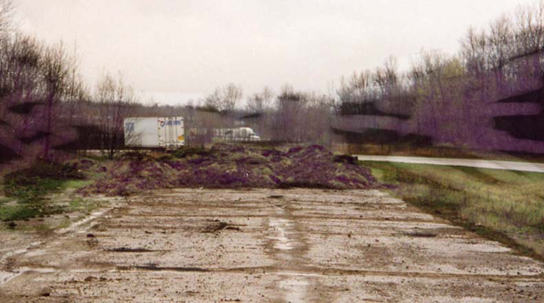
The end of the former WB I-70 lanes. Don't try ramping the dirt.
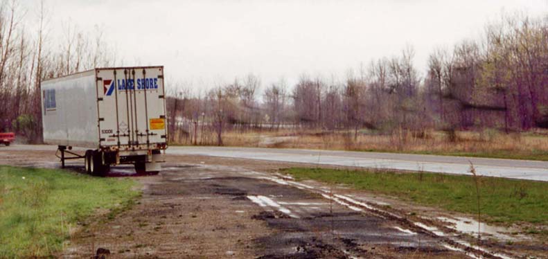
Look straight ahead (to the right of the trailer) and that would of been the turn for EB traffic onto I-70.
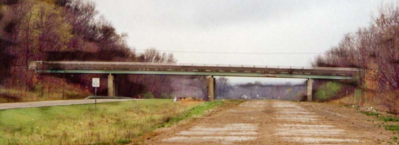
Loop Road bridge from the abandoned WB lanes. This overpass is still opened to traffic.
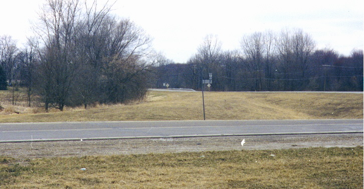
Oh 158 @ US 40
Former bridge site on the westbound roadway near US 40. This is easy to spot on the topo map linked above. The bridge used to cross the temporary eastbound lanes of what is now US 40 as well as a Buckeye Lake reservoir feeder.
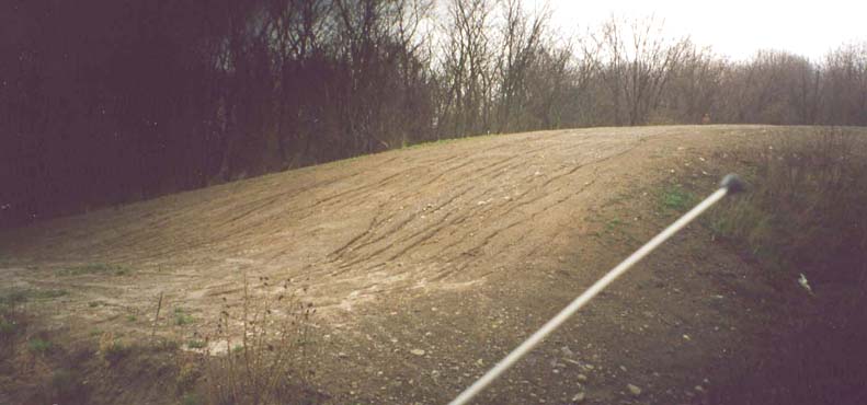
Former entrance ramp from US 40. In the foreground is the current Ohio 158; behind it is grading where the the entrance to the old freeway from US 40 eastbound used to be.
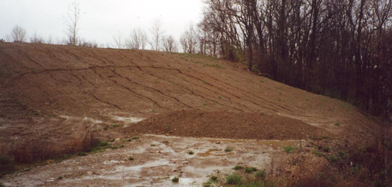
Location of former overpass over US 40. This is embankment for the former bridge which carried traffic in the opposite direction as the former ramp in the other photograph, towards US 40 westbound.
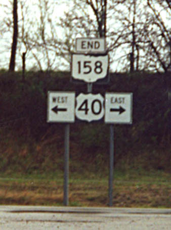
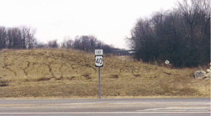
End sign for Oh 158 at US 40
I-70 5 mile vista in Eastern Licking County (between Oh 13 and 668)
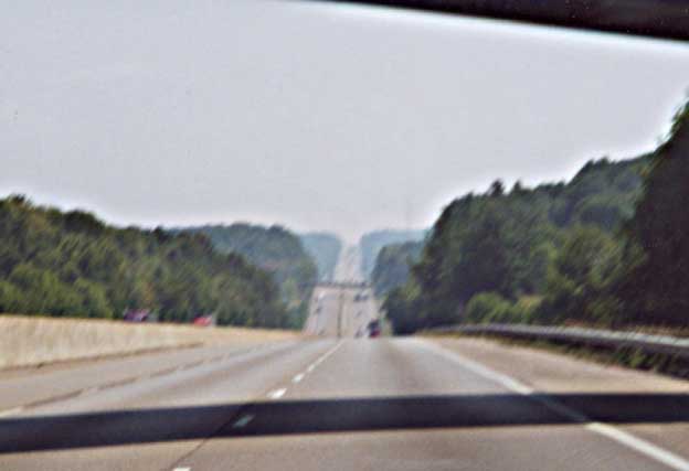
Looking east
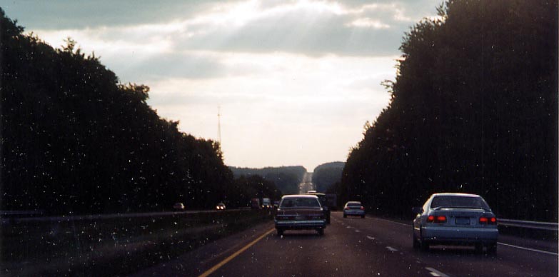
Looking west
If you wish to view more National Road photos on roadfan.com, you can go west to Columbus or east to Zanesville-Wheeling
Business Route Ohio 79 (I've not seen any other state route,
in Ohio, get this treatment)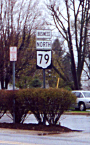
Just adding a business designation to a common sign setup.
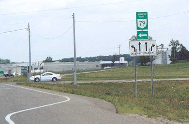
Sign with normal colors for an US or interstate business route. On Oh 79, north side of Hebron
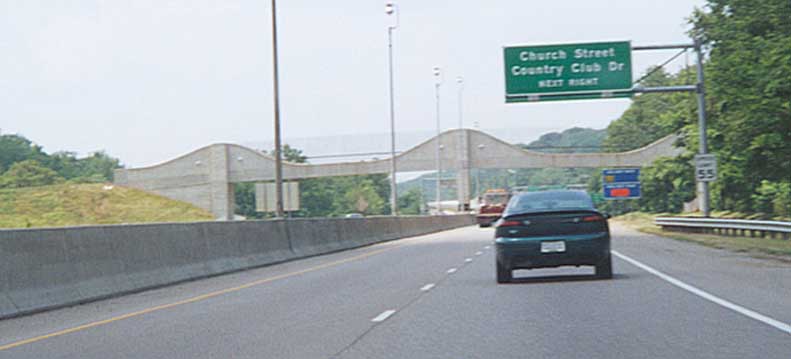
Newark foot bridge. Interesting bridge design. Along Oh 16 on the eastside of Newark
One Link - Licking County Area Transportation Study (various maps and plans for Oh 161-37-16 corridor)
Originally part of the Central Ohio Photos page, this page created on November 30, 2002/ last updated on April 30, 2004
Questions, comments, and submissions can be sent to Sandor Gulyas
Return to Central Ohio Photos