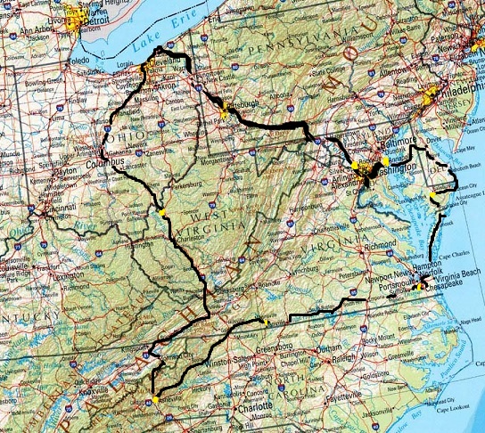
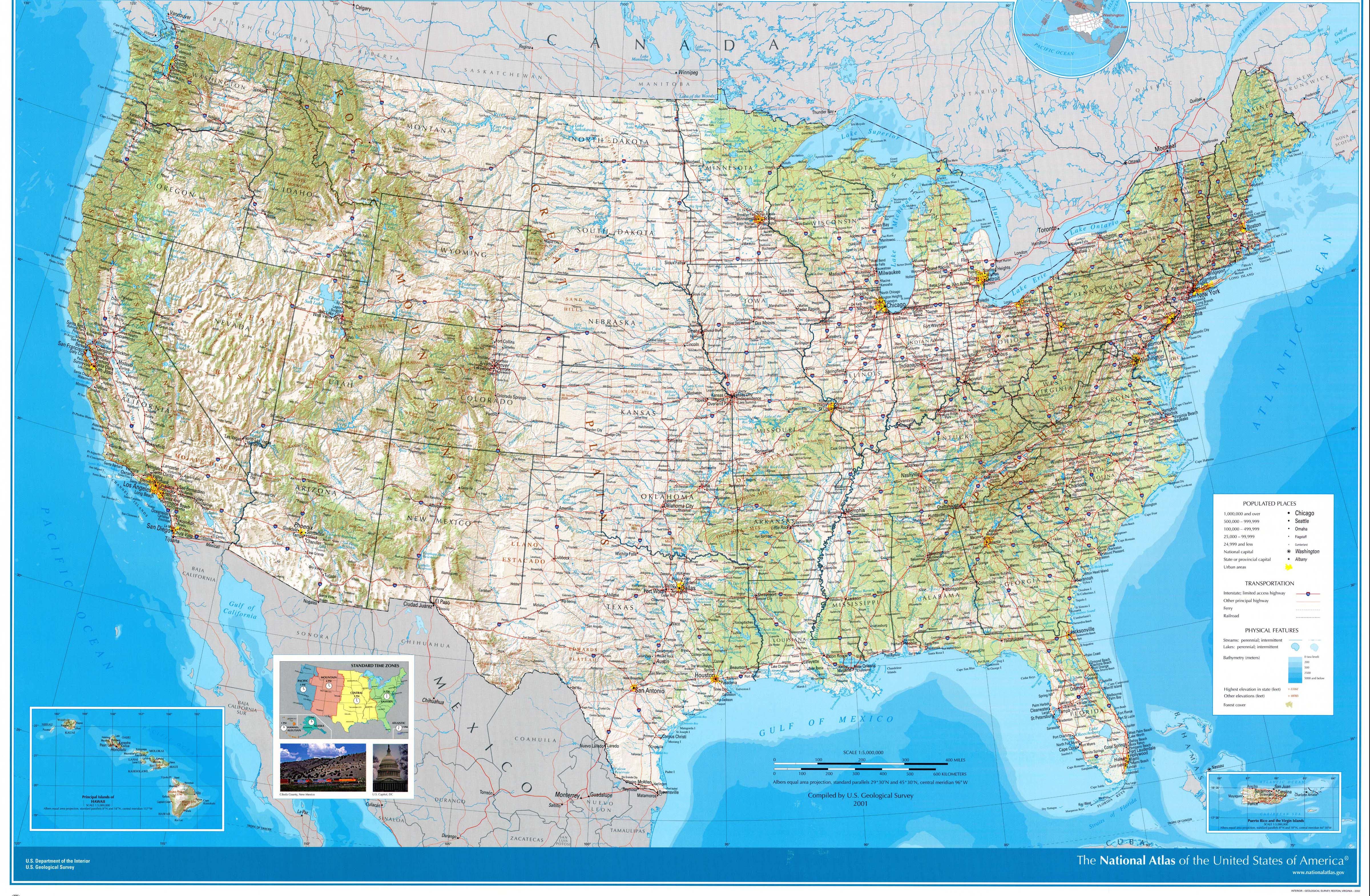
Approximate route (the above was taken from this 2001 USGS map of the U.S.; the feature names are a bit larger and clearer on that version)
(Last revised August 20, 2017) After discussing going to the Grand Canyon this year, we ultimately decided to keep it closer to home and go southeast.
Note: In this document, I have made links to Google Maps Street View green. Links to other pages are the traditional blue, with links not to Wikipedia articles designated by a *. All photo time stamps are Eastern Time
Approximate route (the above was taken from this 2001 USGS map of the U.S.; the feature names are a bit larger and clearer on that version)
Day 1: Tuesday, July 25, 2017 (Lake County, Ohio to Rockville, Maryland)
We started the trip using a shortcut/shunpike, Ohio SR-86 southeast to US-322/SR-11/SR-711/I-680.
The Lake Erie watershed boundary is now posted on major Ohio highways. I don't know how long they've been up since I rarely leave the watershed when not on long trips. (Google Maps Street View shows as early as 2008 on SR-11 at US-322.) It reminded me of the more elaborate Chesapeake Bay watershed sign on the Pennsylvania Turnpike, which we'd see later on.
Going through Youngstown there was no sign from I-680 of the high-profile visit later that day.
Just for fun, I decided to take the all-freeway route from the PA Turnpike/I-76 through Pittsburgh: I-79 to I-279 to I-376. I almost made it through by memory with no problem, even when I-279 southbound traffic was routed over to the express lanes because the local lanes were under construction. I knew to ignore the new signs that tell I-376 eastbound-bound traffic to follow I-579 because the direct ramp from I-279 to I-376 eastbound is still there. I guessed correctly that the backup that started crossing the Allegheny River was caused by the Fort Pitt Tunnel on I-376 westbound (formerly part of I-279) just across the Monongahela River which we'd miss. What I forgot was that the left lanes not in the backup drop off to other roads (Fort Duquesne Boulevard skirting the north side of downtown and convention center access) before the 376 eastbound ramp, so the nice semi driver let me back into the jam for a few more car lengths before we took the wide-open ramp. This is about as much warning as you get.
From then on is was pretty much the same as *the last day three years earlier, just backwards (also the same as 1985 backwards and 1988). We did make a stop in Jones Mills, near the Donegal exit.
Again, I'm happy that safety improvements have been made to the 1940 section of the Turnpike, past US-30, but sad that it's lost most of its original character. There were some older bridges that I saw on the I-70/76 portion starting around Bedford, but those probably won't be around much longer. I could kick myself because I didn't check to see if the Turnpike steps were still there until it was too late. I don't remember seeing them but I don't remember not seeing them, either. While on that section we did acknowledge the nearby Flight 93 National Memorial but I couldn't bring myself to go there this trip, maybe one day. On a happier note, I should remove any earlier reference to the REMOVE SUNGLASSES signs being removed, those posted before Turnpike tunnels. Here's the one we saw this time. Another PA sign comment: The Turnpike and/or PENNDOT now put black sheets of fabric behind orange construction signs to make them more visible.
It seems that seeing good ol' Breezewood once every three years is now a tradition (see *2011, *2014). This time, though, we saw for the first time something that can come out of this weird road arrangement: an accident. It seems that a car and a semi turning left in the parallel lanes to the resumption of the I-70 freeway toward the south sideswiped each other.
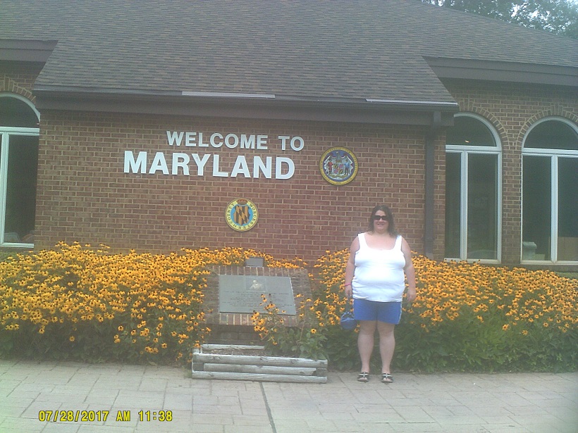
I opted to visit the cut again near Maryland's narrowest point (still haven't found an official name for that stretch where there's barely a mile between Pennsylvania and West Virginia), this time following the oldest travelable (i.e. not abandoned) routing of the National Road that I could find back eastward. Found this along the way (not revealing exact location at this time):
Even though West Virginia was right there, this year I skipped driving into it just to say that we were in three states in a minimal amount of time, because I was pretty sure that we'd be elsewhere in West Virginia later in the trip. (Spoiler: I was right, read on.)
I just recently heard of Maryland's Washington Monument, and noted that it's just barely visible in the south distance from I-70 on both sides of the Maryland Route 17 interchange.
Day 2: Wednesday, July 26, 2017 (Rockville, Maryland to Annapolis, Maryland via Washington, D.C.)
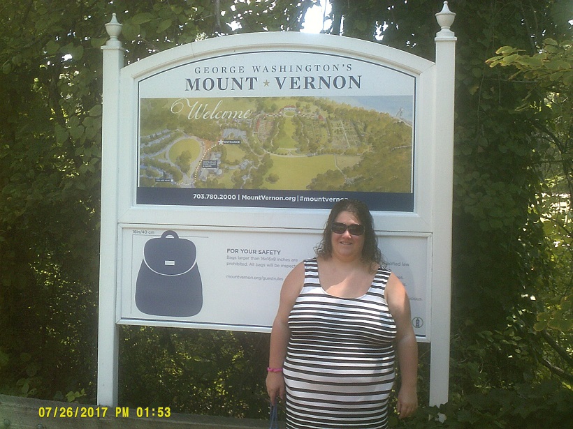
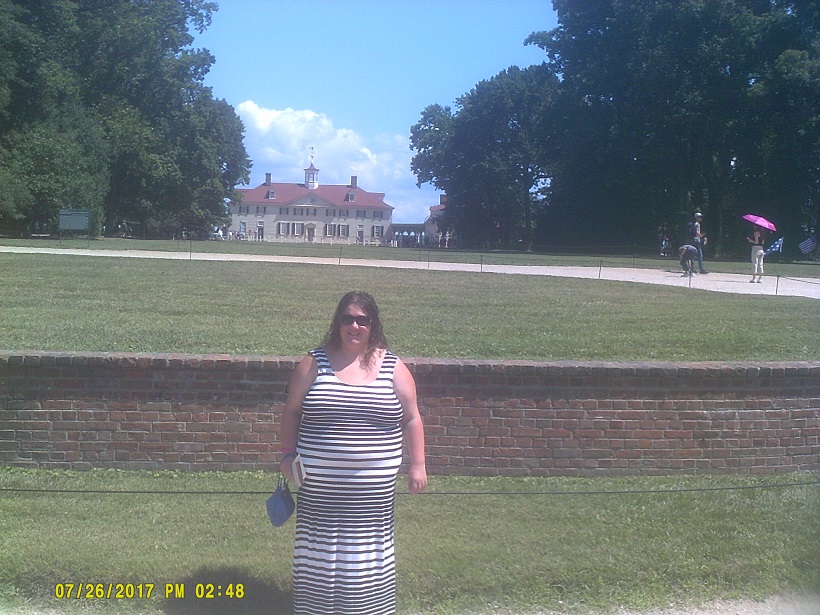
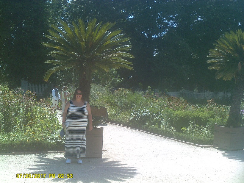
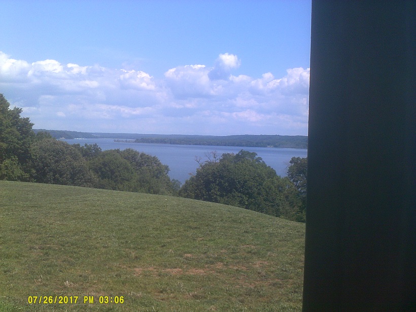
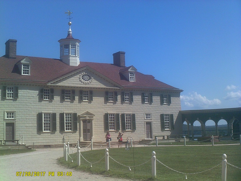
I had planned for to visit various sites in Washington, but between the traffic and the parking hassles, we opted to visit George Washington's last residence, Mount Vernon, instead.
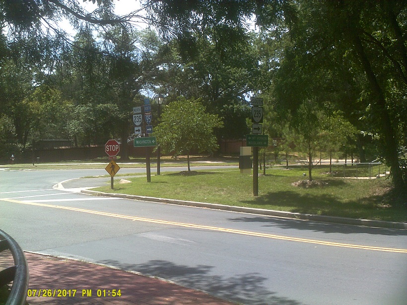
After we left we ended up on the famous Beltway. I heard on the radio that there were accidents by the Woodrow Wilson Bridge, incidentally a drawbridge, but assumed that they'd be cleared by the time we got there. They had been, but it didn't help traffic at all.
Finally onto US-50 eastbound, noting that many of the signs, including this one, leave space for an I-595 shield should they ever decide to signpost that.
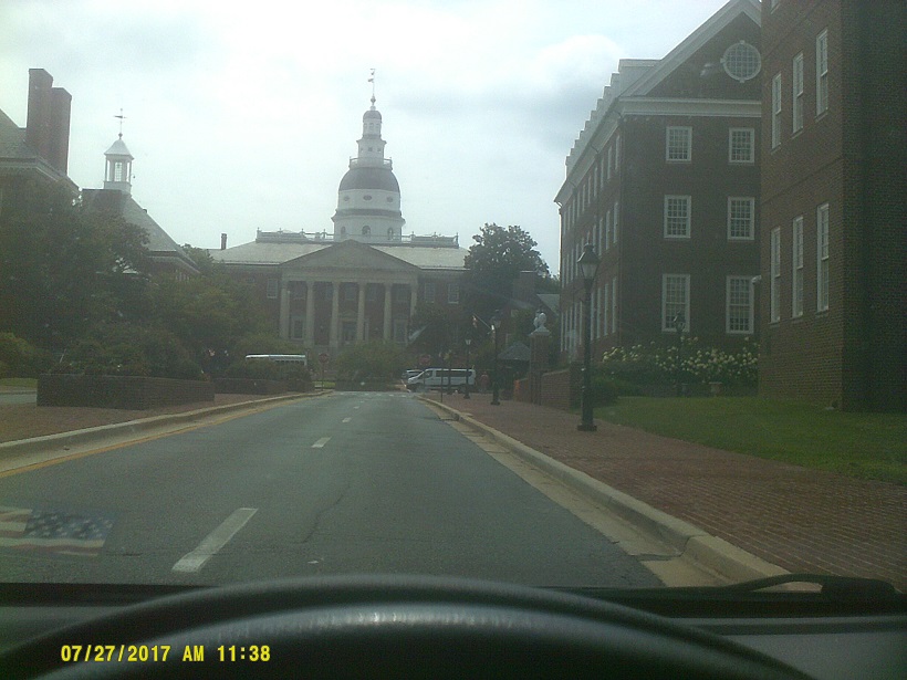
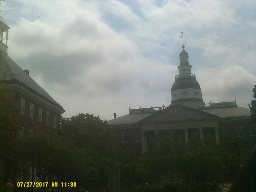
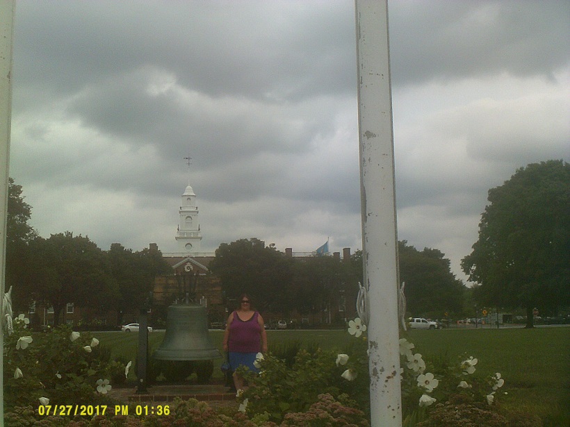
Day 3: Thursday, July 27, 2017 (Annapolis, Maryland to Salisbury, Maryland via Delaware)
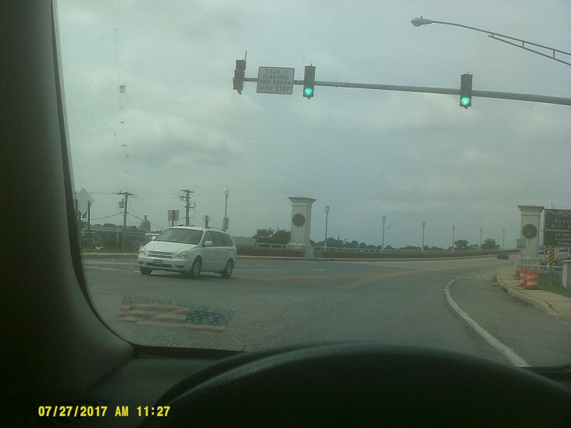
Some Maryland sign/signal comments: For decades Michigan had a flashing red in many left turn signals in permissive mode (stop then go when clear). While they've been adopting the flashing yellow arrow like many other states to replace that, Maryland is holding onto Michigan's practice, only with a red arrow (see bridge photo below). Another signal quirk is that most places where there are doghouse left turn signals (red/yellow/green/yellow arrow/green-arrow in a compact form), there is a redundant signal before the intersection but with smaller red/yellow/green such that the height of the arrow signals is the same as the adjacent R/Y/G, such as most signals in Ocean City that we'd see later – to see what I'm blabbering about, go here. Also, Maryland is giving its markers a black background, similar to Wisconsin, though Maryland's seem to be individual parts pasted on to a sign, rather than a single sign. Finally, and maybe not a Maryland thing, but seen in Maryland: these pedestrian symbols are facing each other.
After crossing the Mackinac Bridge *last year, we got another similarly long crossing this year (though not the longest on the trip).
Onto Kent Island, I noted the EF-2 tornado that had just hit a few days earlier, though we could see no damage from US-50/301. Bad week between that and a bad accident just west of the bridges. The freeway on Kent Island and further east to the 50/301 split was shoehorned in, so there are a lot of short ramps to existing businesses, and one combines two messages on one sign because of the limited space.
Once away from the shore, the Delmarva almost looks like northern Indiana, with its cornfields and general flatness, though there seem to be more trees.
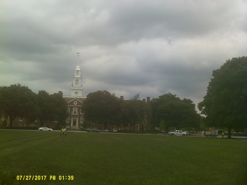
In order not to entirely retrace the 1985 trip in reverse, I decided to go through Dover, Delaware. That put us in two state capitals in less than two hours.
Delaware comments: Unlike in *2014, when we were only on I-95, we got to see a lot of backroads of the state. (Incidentally, my only other time doing that, the '85 trip with my family, was the day before Live Aid.) Sign/signal things of note:
Left Dover awkwardly because of not reviewing maps (note to self: the Puncheon Run Connector is not mainline SR-1, US-113 doesn't go that far north anymore, and Alternate US-113 doesn't exist anymore)
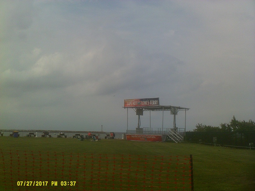
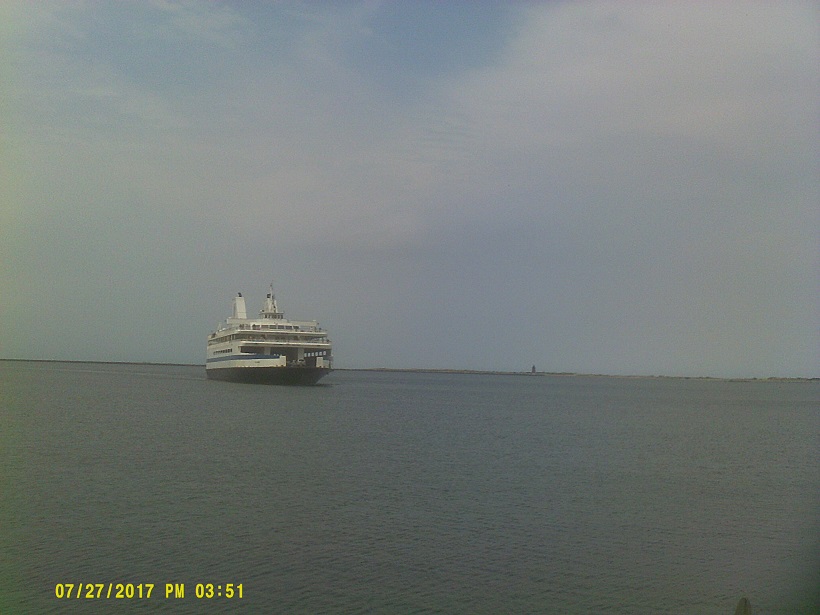
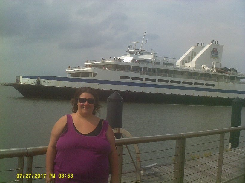
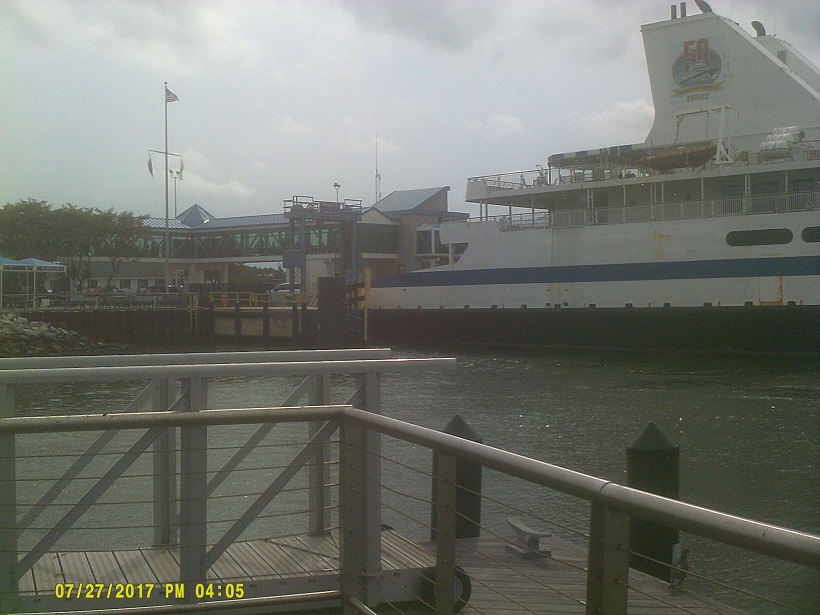
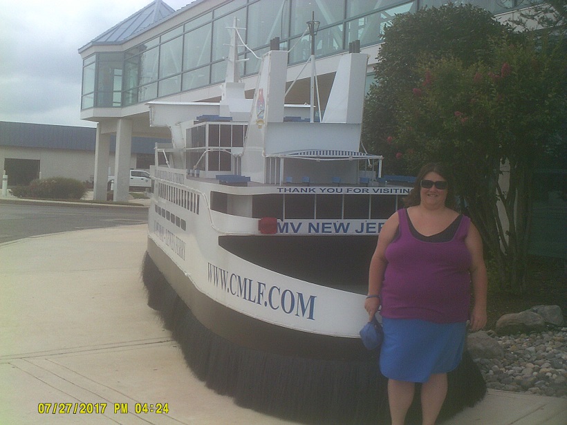
Three years ago, we saw the Cape May–Lewes Ferry from New Jersey. This year, we saw it from Delaware. One day, we might actually take it.
We later took Rehoboth Avenue in Rehoboth Beach from SR-1 all the way to the boardwalk, but decided that the crowds were too much for us. After the nice views along the rest of SR-1, including the crossing of the Indian River Inlet Bridge, we crossed into Ocean City, Maryland, and of course large crowds and lots of traffic were there, too, so rather than continuing south and seeing the rather famous east end of US-50 with its mileage sign with the distance to Sacramento, we bypassed that and escaped via MD-90 (one of the few one-lane-in-each-direction divided freeways you'll ever see) and got a motel in Salisbury where I'm sure the rates were lower.
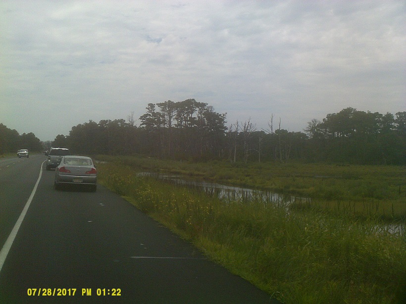
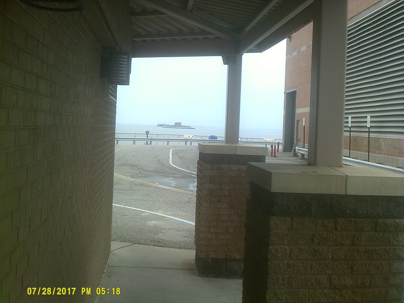
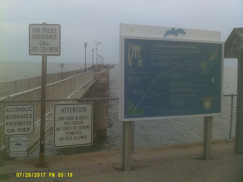
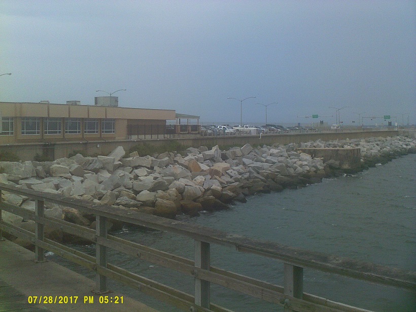
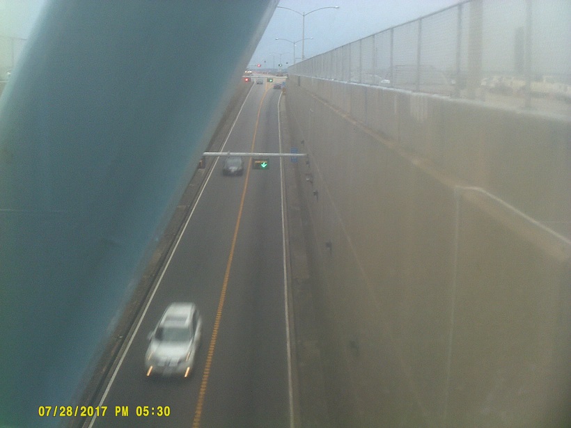
Day 4: Friday, July 28, 2017 (Salisbury, Maryland to Chesapeake, Virginia)
[Postscript: It's been a bad year for tornadoes in Maryland since Salisbury was also hit by one a week-and-a-half after we were there.]
I like state symbols, and one of the best that I've seen was on the backs of many vehicles of this trip: *a sticker of a crab with a Maryland flag/coat-of-arms pattern. (And as a token mention of a current fad like Pok�mon Go last year, themed *fidget spinners are also available.)
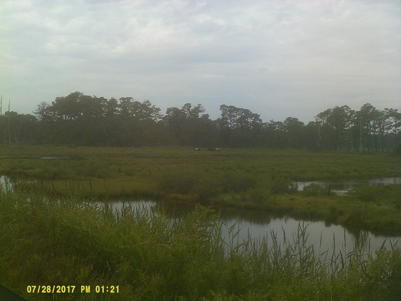
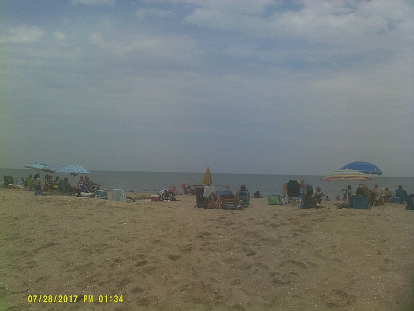
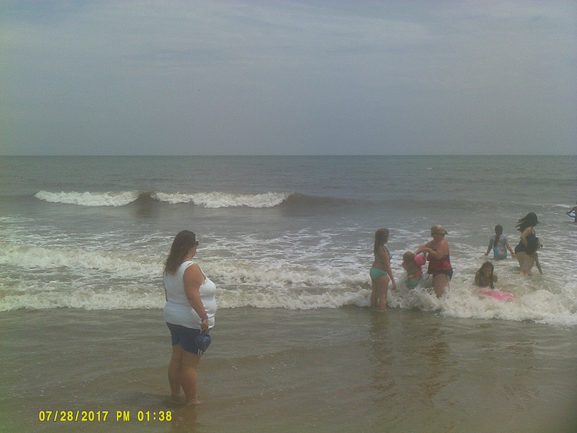
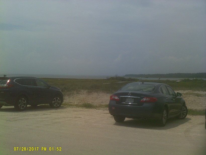
Just into Virginia is VA-175, the road to Chincoteague Island. By coincidence, we had just missed the famous Pony Swim by two days, and the return of the unauctioned ponies by just a few hours. It probably wouldn't have mattered anyway since the best way to see the swim is by chartering a boat. Unfortunately, we also were a bit too early for that day's carnival. Fortunately, though, the just-returned ponies had just settled in and were visible from the Chincoteague National Wildlife Refuge access road on Assateague Island.
At the end of the road was a very popular beach.
Continuing further south, I noted that there is an original-style Stuckey's in Mappsville. Shoud've stopped but I didn't.
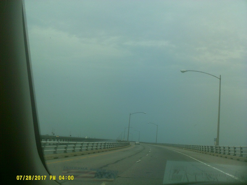
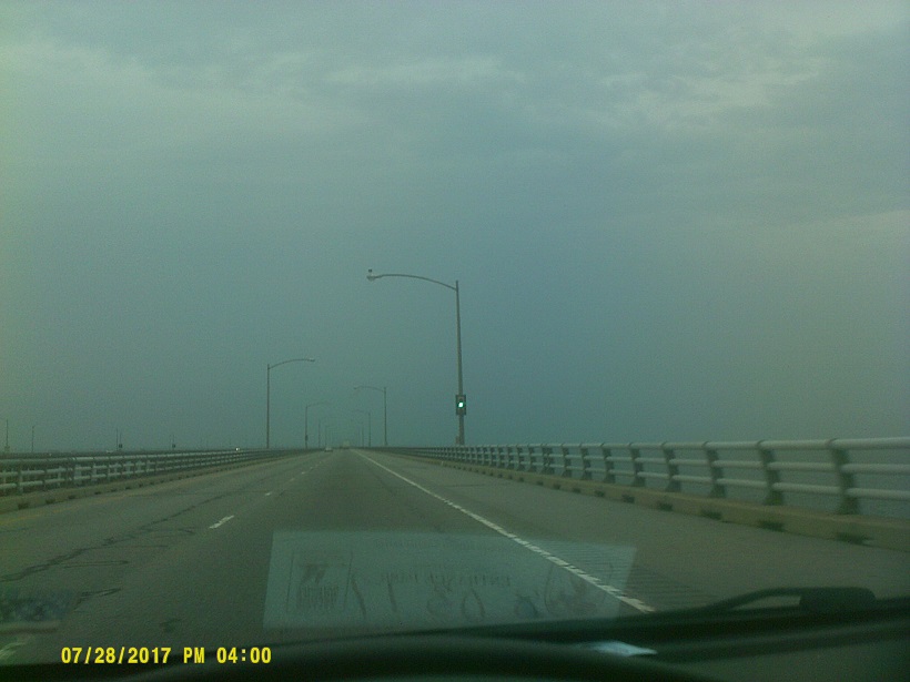
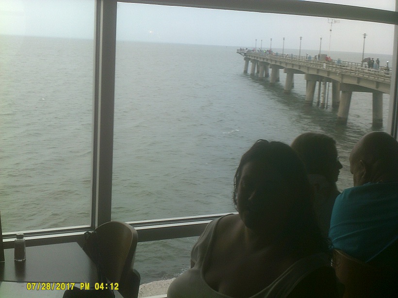
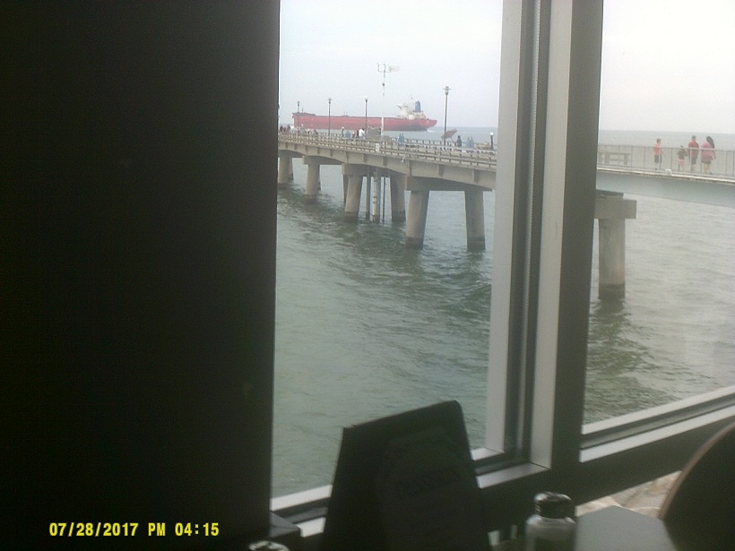
Soon we reached the Chesapeake Bay Bridge Tunnel, more than three times longer than both the Mackinac Bridge and each span of the Chesapeake Bay Bridges the eastbound span of which we crossed the previous day.

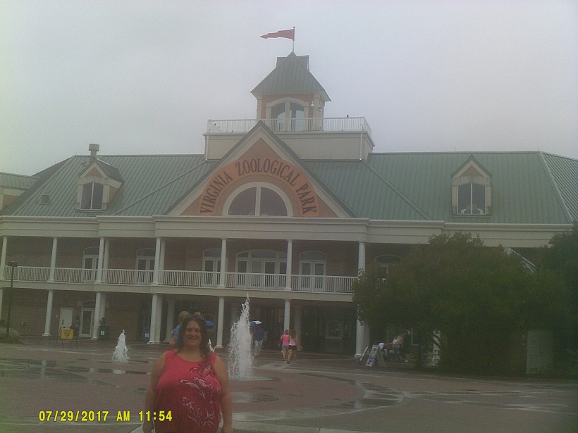
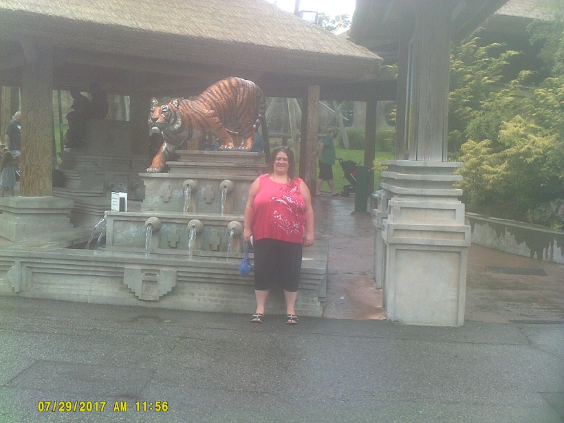
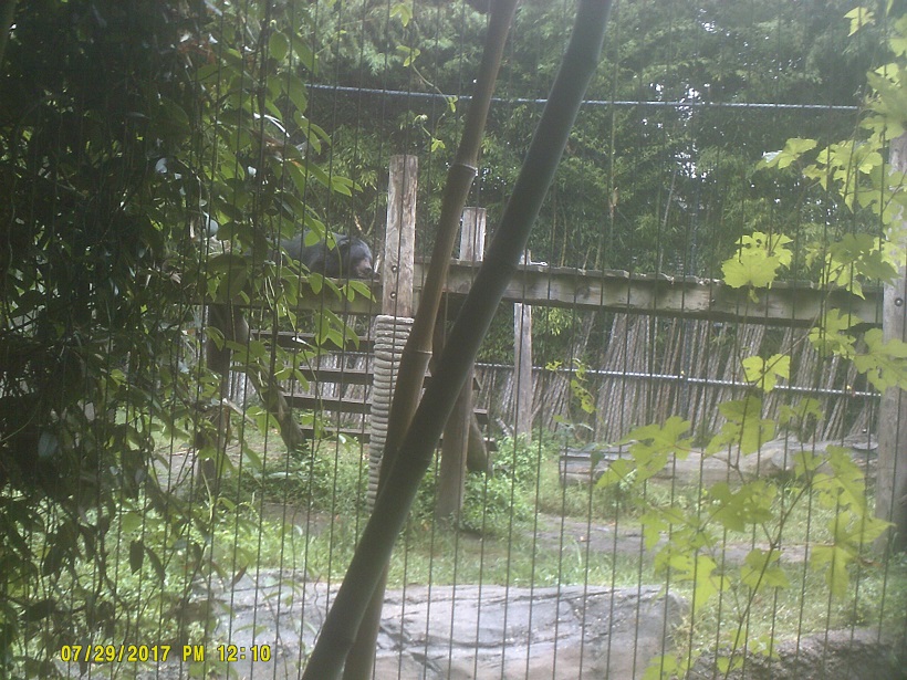
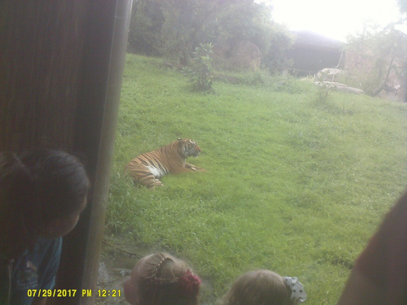
Day 5: Saturday, July 29, 2017 (Chesapeake, Virginia to Danville, Virginia)
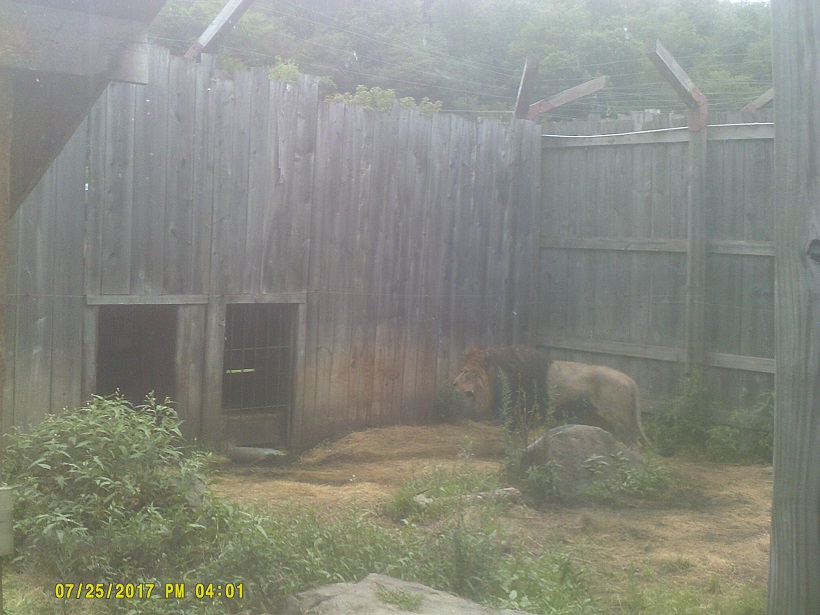
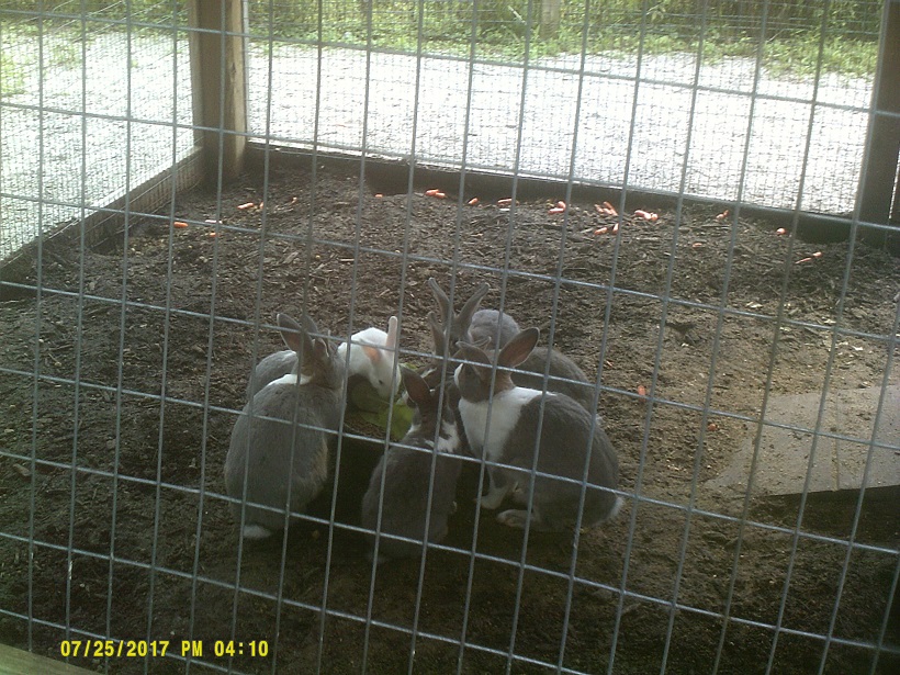
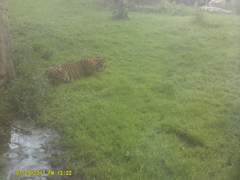
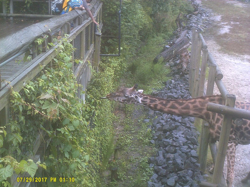
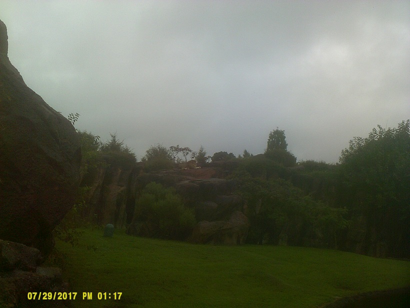
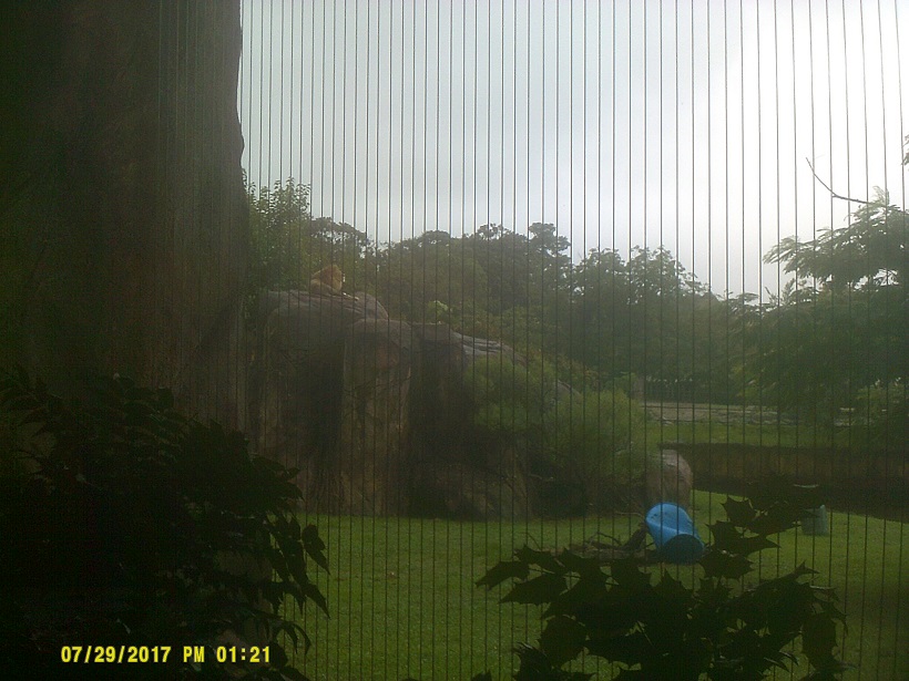
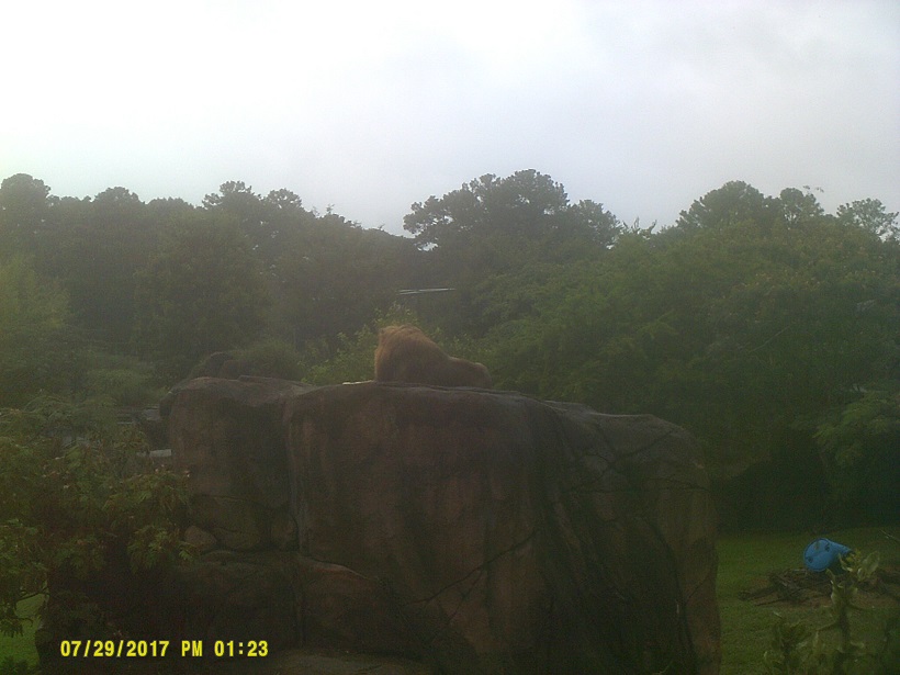
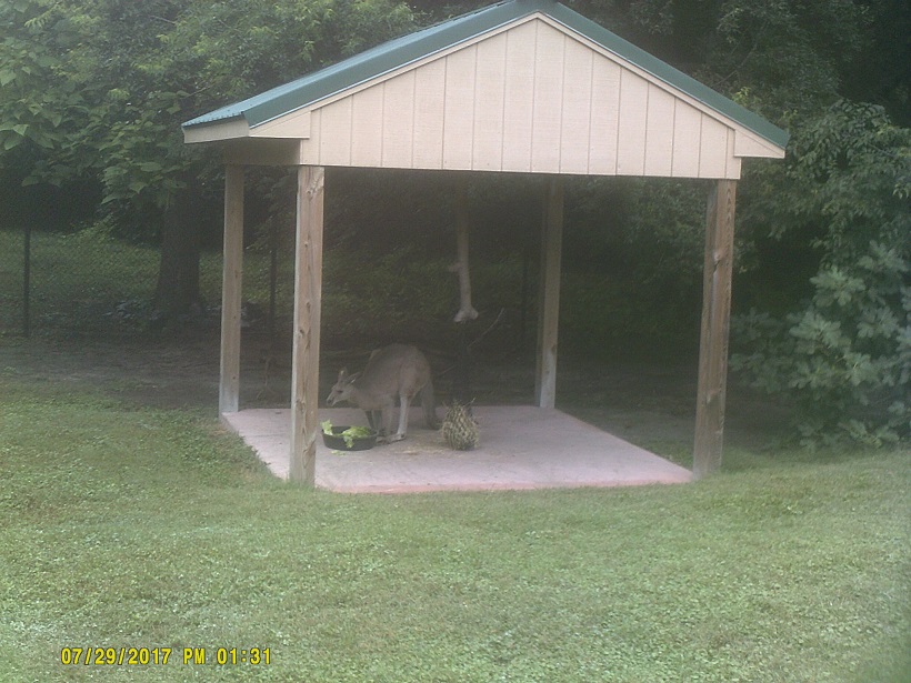
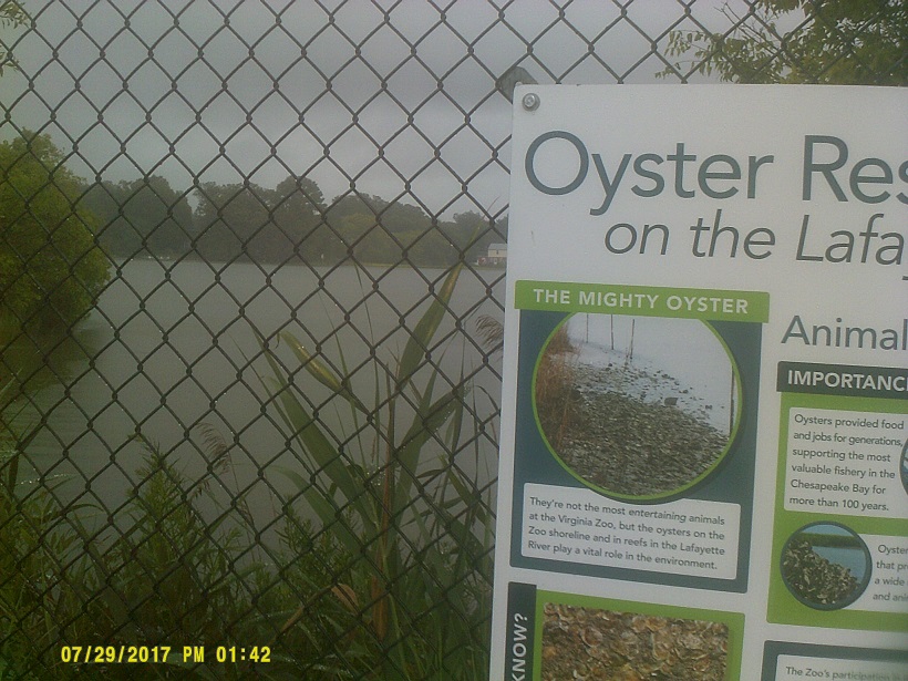
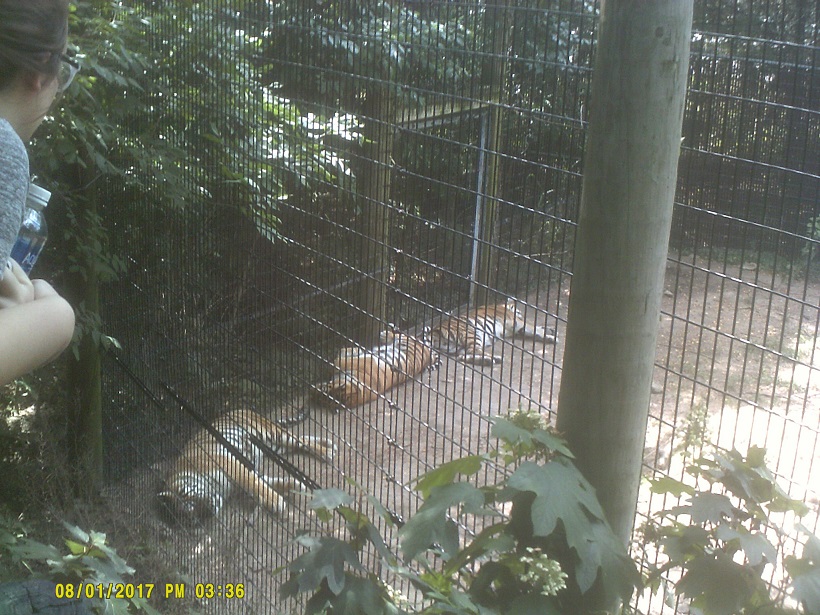
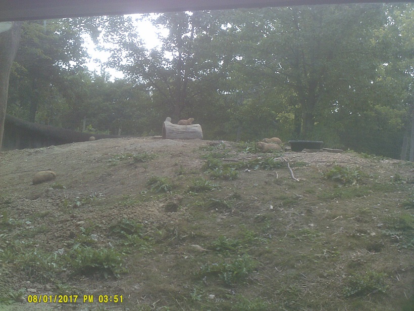
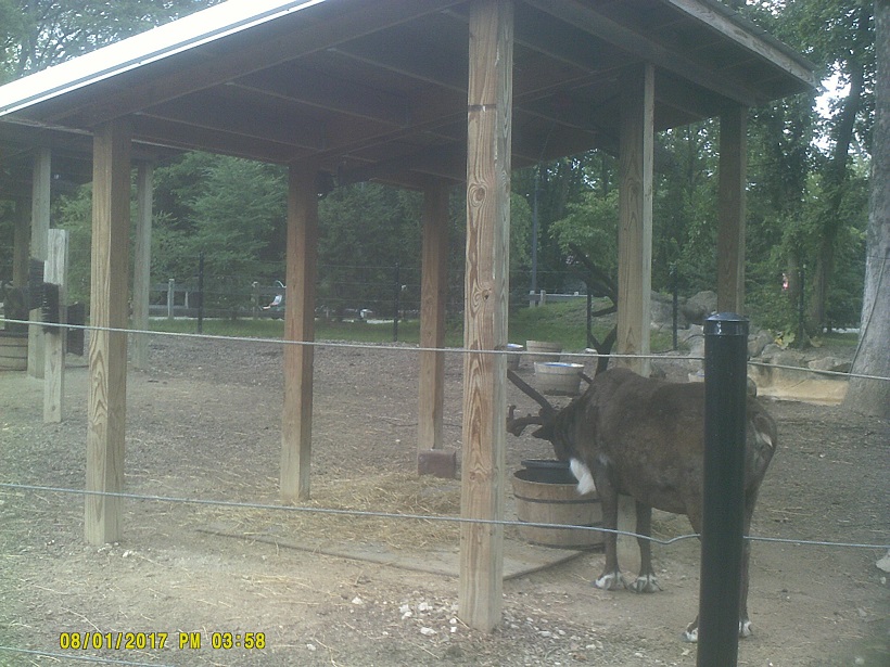
To the Virginia Zoo in Norfolk, on International Tiger Day, no less, on an unusually cool, rainy day for southeast Virginia at the end of July.
We went past the Navy Yard afterward but the ships aren't very visible from the road.
I had briefly thought about going into North Carolina's Outer Banks for a short distance, but those thoughts were quickly dashed when I heard that all tourists were being evacuated because of a *major power outage.
Even though the Hampton Roads Beltway consistently has INNER (clockwise) and OUTER (counterclockwise) to distinguish directions, it still is very confusing to continue west on what starts as eastbound 64. What's even worse is that when I knew to stop looking for directions, I tuned in to the destinations, so I looked for the signs not listing Richmond – unfortunately, Richmond as a destination starts being listed in that direction as I-64 gets closer to I-664. My solution would be to route I-64 eastward to the ocean in Virginia Beach and extend I-664 along the "backwards" 64.
There aren't many drawbridges left on Interstates, but we managed to hit three on this trip: the Woodrow Wilson Bridge on the Capital Beltway (see above) as well as the Berkley Bridge on I-264 in downtown Norfolk and the High Rise Bridge on the Hampton Roads Beltway/64.
West of I-95, US-58 is another one of those divided highways one of whose roadways (eastbound) is much older than the other as noted by much larger changes in elevation.
The crossing of Kerr Lake on the Roanoke River was a nice surprise.
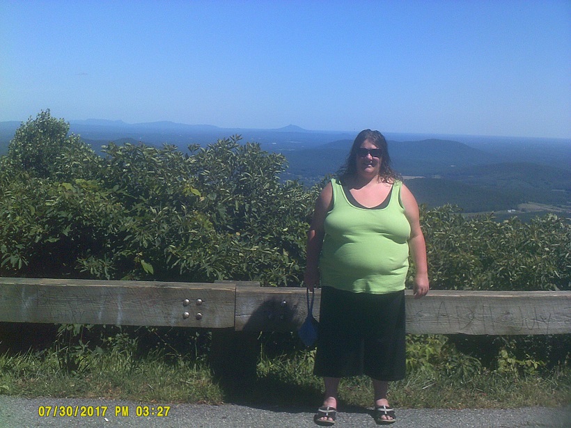
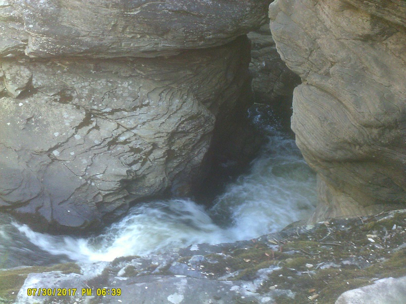
Day 6: Sunday, July 30, 2017 (Danville, Virginia to Asheville, North Carolina)
I noticed some interesting signs heading west out of Danville on Business US-58, a pair relating to the speed limit and one to median crossover traffic.
West of Danville, it's the westbound lanes (ours) that used to be the old road. West of Stuart, it's only old road as it ascends to the Blue Ridge Parkway until just before reaching that.
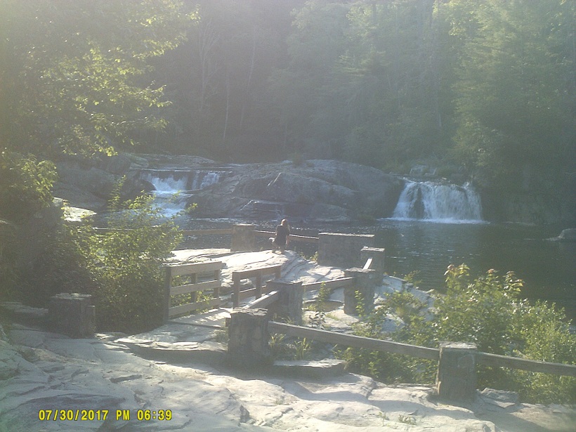
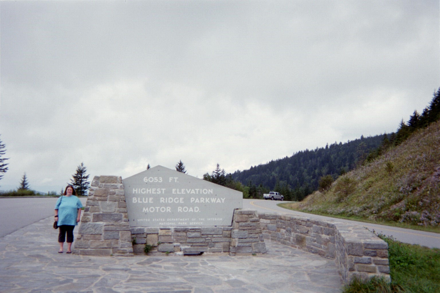
Anyone who knows me will know that the whole reason for taking 58 west across Virginia was to get to the Blue Ridge Parkway, probably my favorite road of all time. Once on the Parkway I noticed more at-grade intersections with local roads than I had in the past, though the parts of the Parkway which have stuck in my mind the most are the portions through protected areas such as national forests where there aren't very many roads.
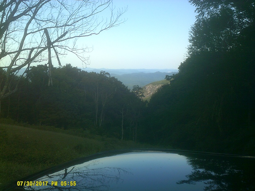
When my family travelled the entire Skyline Drive/Parkway combo over two days in 1988, we were disappointed when the then-new Linn Cove Viaduct was fogged in. I got to see it this time – but didn't know I was on it. It was shorter than I expected – I was thinking that it was a shorter bridge leading up to it – so no photos. It did look spectacular in the clear weather, though. (All the vehicles parked next to the road there – which is in fact legal along most of the Parkway – should have tipped me off.)
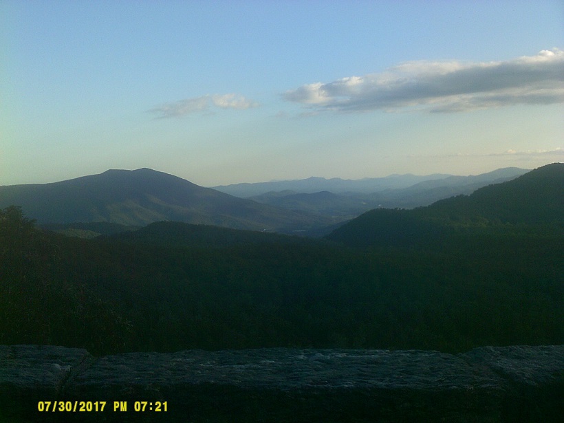
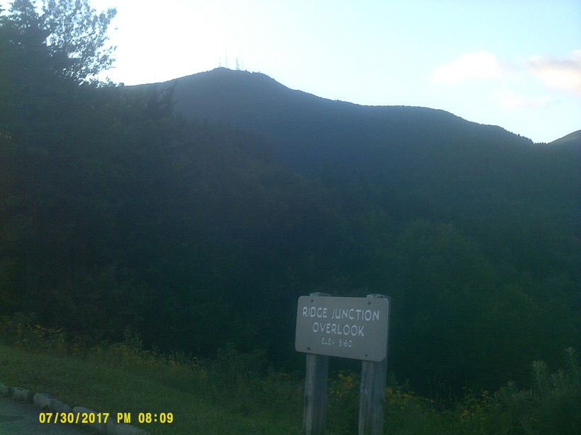
Made it to Asheville by dark, though I had been hoping to make it to Mount Pisgah.
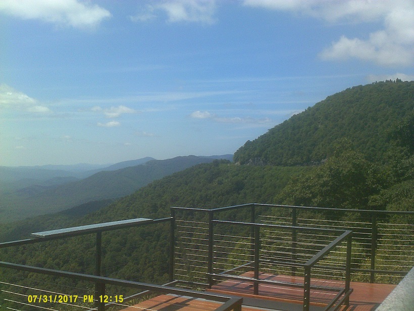
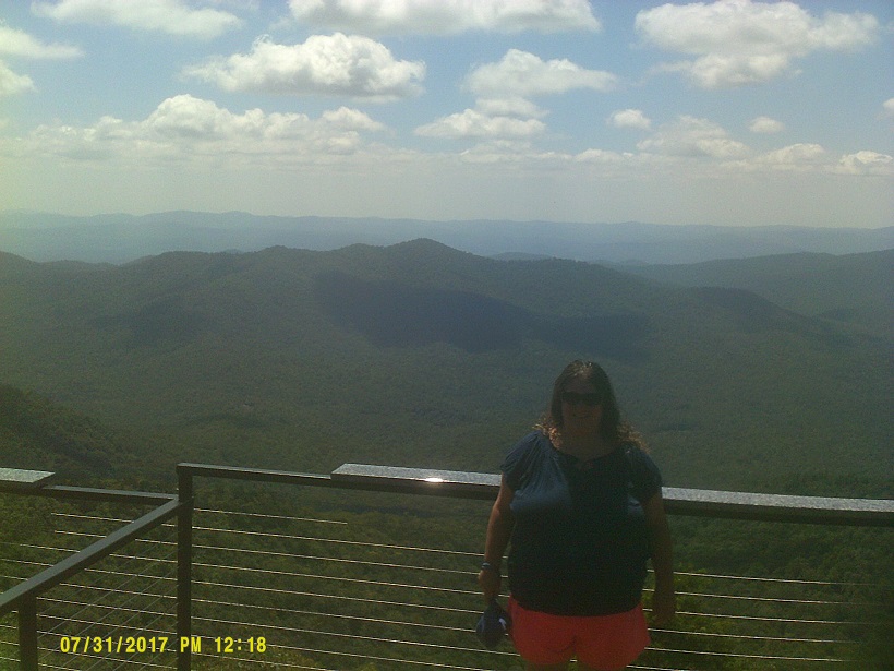
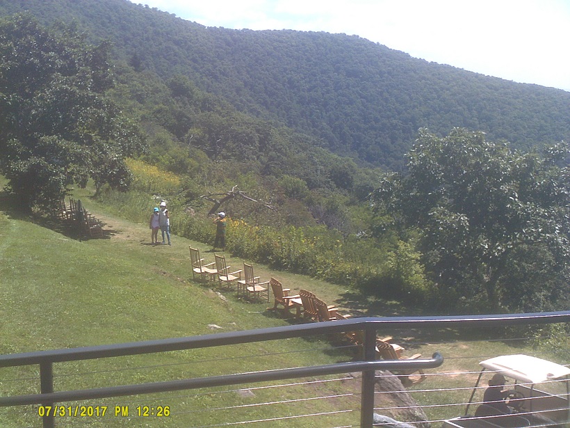
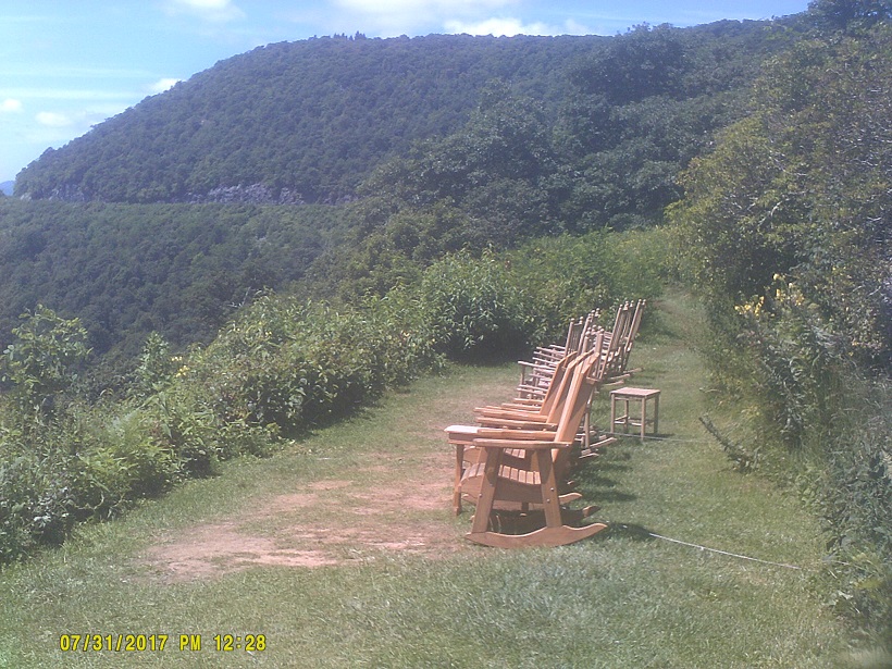
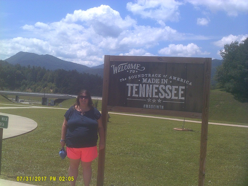
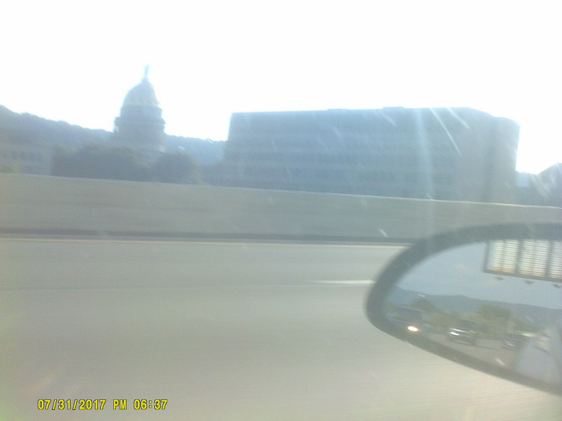
Day 7: Monday, July 31, 2017 (Asheville, North Carolina to Ripley, West Virginia)
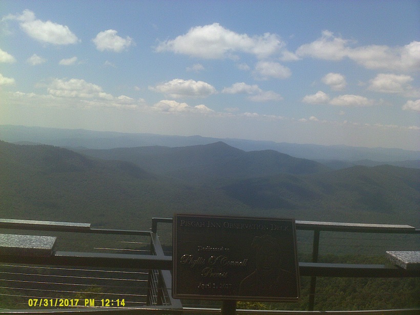
After staying by the Biltmore Estate (no visit, too expensive), we did go up to Mount Pisgah, where we had stayed and eaten *five years earlier. (As another reference to current events, the gift shop there had already put out 2017 solar eclipse merchandise, being just 10 miles or so outside of the path of totality.)
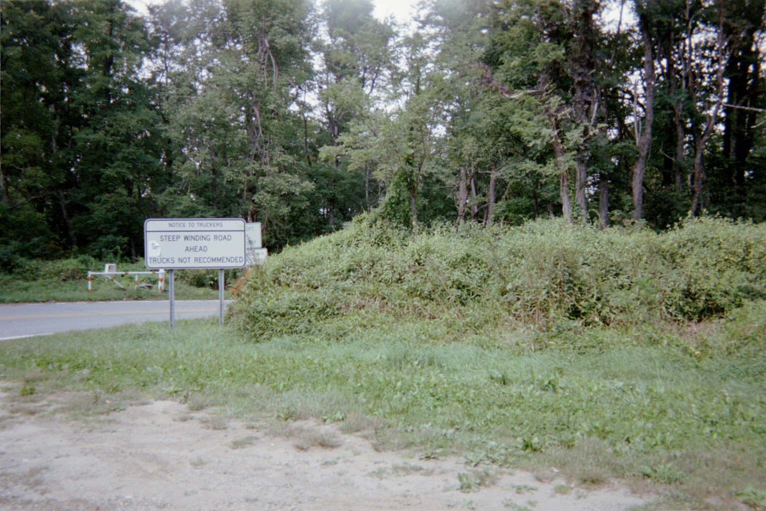
After leaving we took the winding NC-151 back down. The sign warning of the many curves has seen better days, now being covered with stickers and graffiti (*my 2012 photo when it looked better).
After going back through Asheville we took the relatively-new I-26 to the north and northeast (where signs still say WEST, though US-23 northbound runs with it so it's not as confusing as it could be). This was a difficult road to build: See the *website chronicling its construction by its design engineer. I don't think that there's a level section the whole way. The highway is meaningful to local residents for better or worse; see, for example, *this writeup; there's even *a book about it.
By this time I had decided that we'd go home through Columbus, and had thought about taking US-23 all the way from here, but research showed that 23 is just twisty enough that there's no real advantage taking that rather than using I-81 to I-77, so I took the latter. It was a bit weird, though, to be on 23 then 77 just to come back to 23 and later go back to 77's north endpoint. It also meant that we entered Virginia in three distinct places, and were never very far from the ocean or a state line. We kind of did a similar thing with Maryland. I-77 north put us on the reverse course of the first day of the *2012 trip.
The West Virginia Turnpike still has big yellow signs warning of bad curves, though the curve symbol doesn't take up the whole sign, unlike a more famous example further north.
We got to see the abandoned Memorial Tunnel head-on this time.
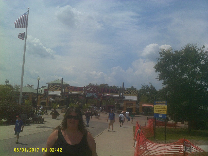
Day 8: Tuesday, August 1, 2017 (Ripley, West Virginia to Lake County, Ohio)
I got to see the new stretches of US-33 built in the last few years on Ohio: The stretch just into Ohio from West Virginia, the stretch south of Athens/Ohio University, the Lancaster bypass, and, most recently, the freeway by Nelsonville. In fact, that was only the second time in my life and the first in the 21st Century that I had been inside of an area bounded by the Ohio River, I-275, I-71, I-70, and I-77, except for places just inside such as Kings Island, in spite of having lived in the state for the past 30 of my 46 years. It was as scenic as I'd heard, though we were spoiled having been in Western North Carolina's mountains a day earlier. (Ohio sign/signal notes: In odd coincidences, I saw Maryland-style big-arrow/small-ball left turn signals in Columbus, a couple of black-background markers, and even another instance of pedestrian symbols facing each other. I also saw for the first time a distance sign with times to a destination not in the local area in Virginia – two routes to Richmond from I-64 near I-664 by Norfolk – and, lo and behold, I saw my second in Ohio, on I-71 north of Columbus giving times to US-30 by Mansfield and I-76 west of Akron.)
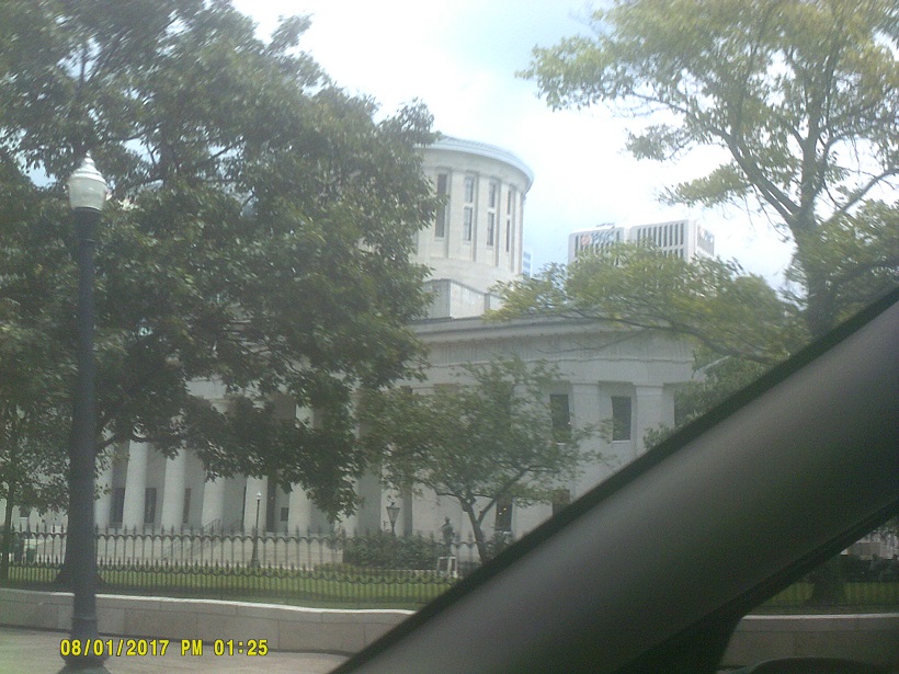
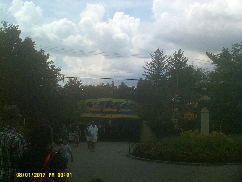
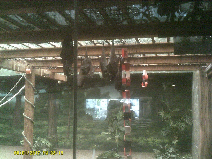
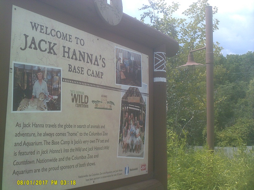
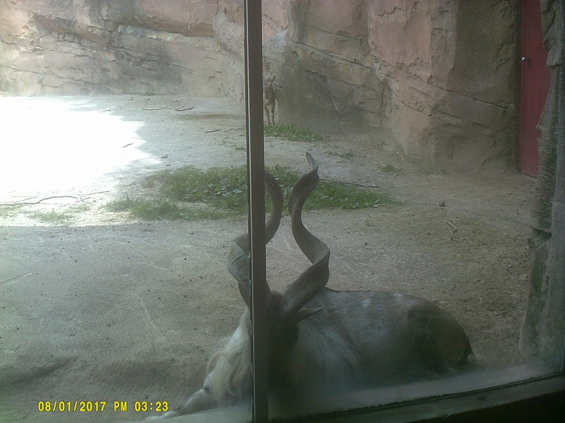
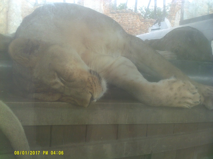
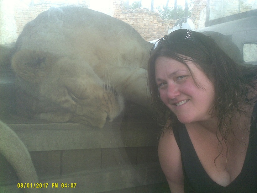
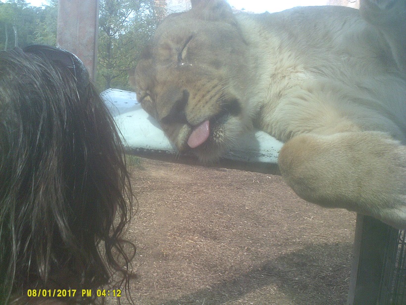
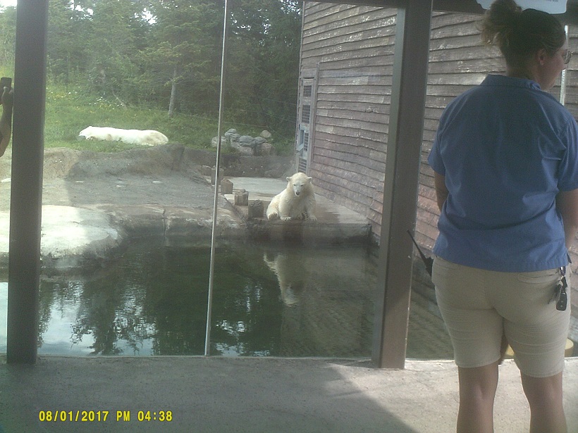
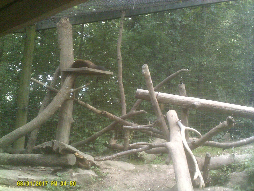
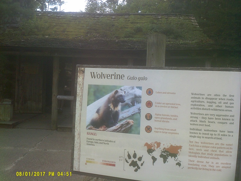
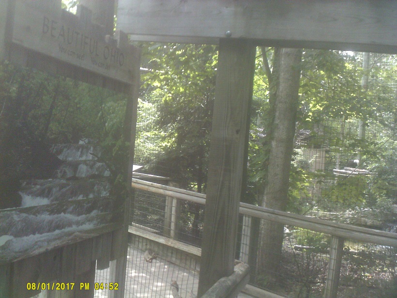
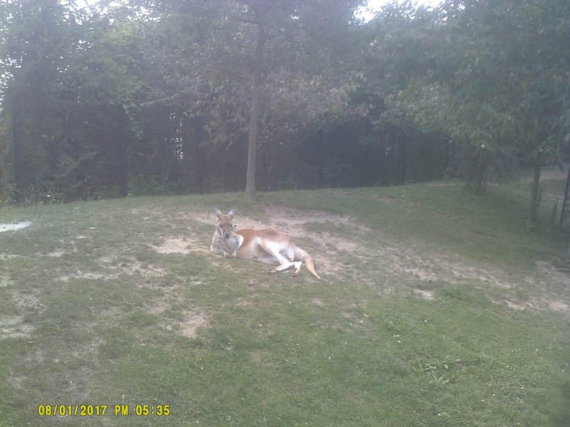
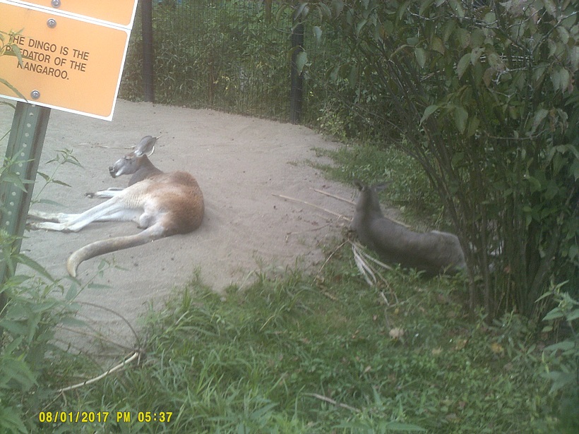
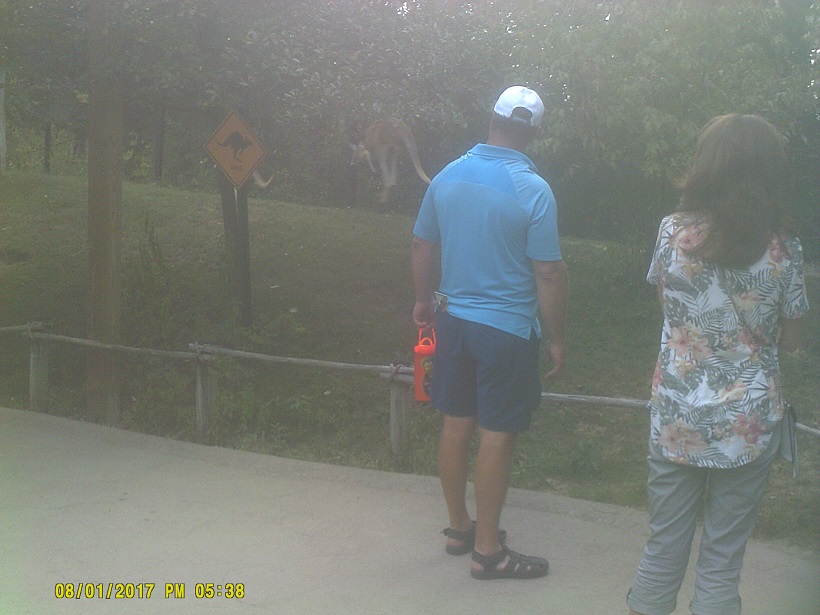
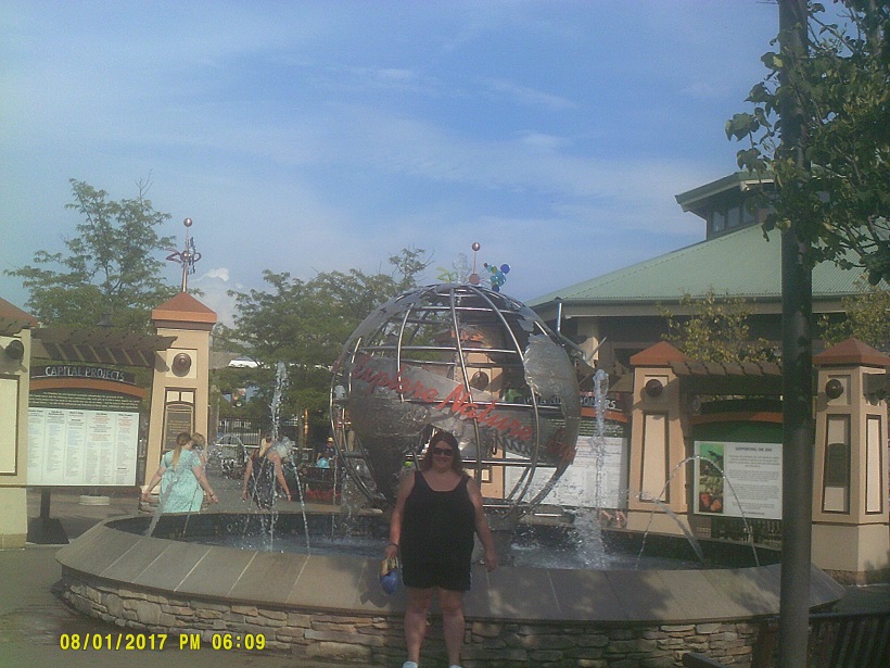
The main reason for detouring through Columbus at the end of the trip was to visit the Columbus Zoo. We drove through the Short North neighborhood semi-intentionally (I missed a turn for I-670 which leads to I-71) then headed to the zoo. (Note: As of this writing there are no signs for the zoo on I-71 so make sure to prepare a route when going there that way.)


Total mileage: 2,257 miles
_at_Exit_20_(Maryland_State_Route_450-Annapolis_Road,_Bladensburg,_Lanham)_in_New_Carrollton,_Prince_George%27s_County,_Maryland.jpg)