(July 14-23, 2014, revised March 7, 2015) My girlfriend and I decided to take an eight-day trip to the U.S. East Coast in the Summer of 2014. After visiting SeaWorld parks the previous two years (see 2013 and 2012) we decided to try and observe marine life in its natural habitat, with other plans mixed in.
Note: In this document, I have made links to Google Maps Street View green. Links to other pages are the traditional blue, with links not to Wikipedia articles designated by a *. All photo time stamps are Eastern Time
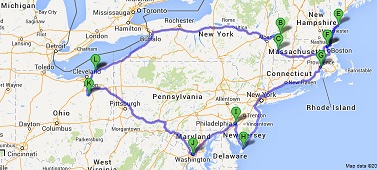
Approximate route
Tuesday, July 1, 2014 (Lake County, Ohio to Lenox, Massachusetts)
This trip began just like the *2011 trip.
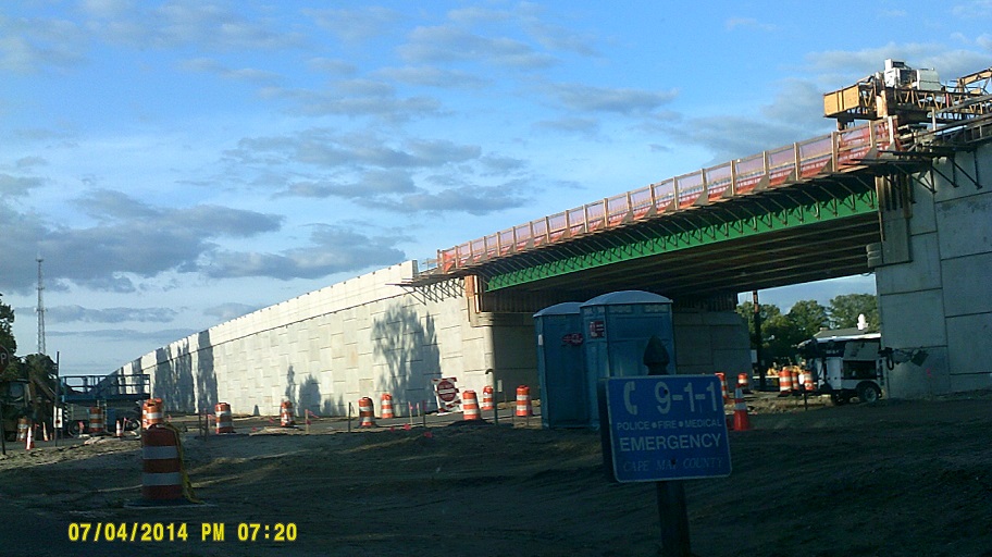
The I-90 at Ohio 11 interchange project is ongoing; the ramps meeting the 11 freeway at right angles are still there for now, but the southbound 11 overpass over 90 has been rebuilt and displays a message about Ashtabula County, as pictured on page 22 ("Construction") of *this Ohio Department of Transportation .pdf document.
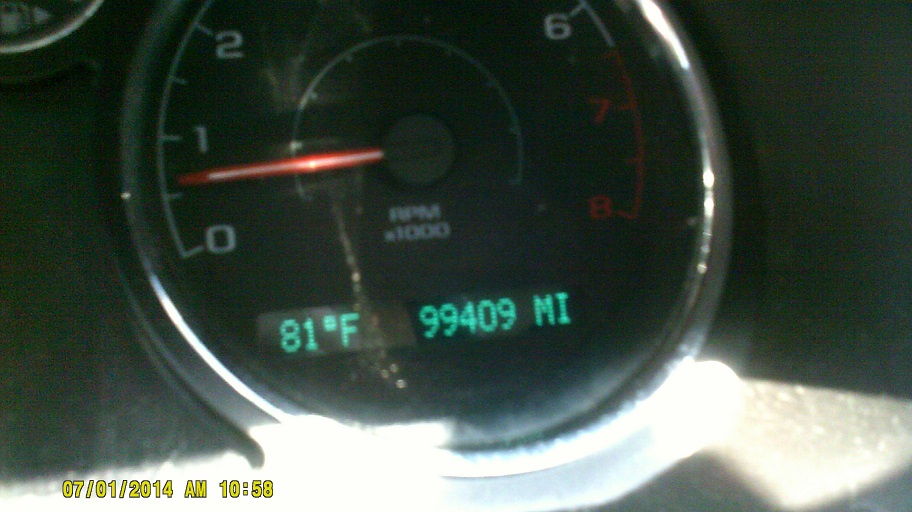
Taken at the Pennsylvania information center/rest area on I-90 eastbound. I would turn over 100,000 the next day. I'm going to miss five digits....
Pennsylvania is using curved tubes for overhead signs now; there were some at Erie and I saw some on the last day on the Turnpike.
Just like in 2011 we stopped at the Angola Service Area on the New York State Thruway, and the player piano with the hard drive is still there.
Once we hit Buffalo, the route deviated from the one in 2011 since we turned east rather than going to Niagara Falls.
"Sign" of the times: New York now has *"Text Stops".
My only time on the Thruway east of Buffalo before this trip had been in October 1983 when I was 12, on another trip to Massachusetts, my first and only before this one. I remembered the terrain getting gradually hillier until the mountainous area in eastern New York. My memory was mistaken. Between Buffalo and Rochester, especially around Batavia, it's as flat as anywhere in the middle of the country. It's for this reason that I would think raising the Thruway to 70mph from 65mph in this part of New York (other than metro Buffalo) would be relatively easy to do. (The only state where we encountered 70 on our trip was Ohio, though parts of New Hampshire, Maine, and Pennsylvania that we didn't visit have gone to 70 or greater recently or in the case of PA *after we got home.)
Between Rochester and Syracuse, you can see 90 from 90.
I had hoped to visit Erie Canal sites on this trip. Fortunately, the canal *came to us. (see also Wikipedia)
Near Syracuse the Thruway crosses Onondaga Lake's outlet, where you can see a cool old bridge to the north and the lake itself to the south, with the city on the other side.
Lake-effect brethren (this is found outside of the Thruway Syracuse office)
NY-49 swallows the Thruway in Utica. (The more I look at that view the more entertaining that I find it that while the TO Thruway trailblazer sign is obviously intended for NY-49 traffic, if it were for some reason to fall down to the left, it would literally be on the Thruway.) Around Utica, the terrain finally does get very hilly.
I seem to remember that one of the bridges over the parallel Mohawk River and Erie Canal, possibly NY-28 in Mohawk, had standard arrow road signs like one would find at a curve (the *W1-6 for the geeky) on its pillars for nautical traffic. I don't see them on Street View, so maybe they're new, or maybe I was imagining things....
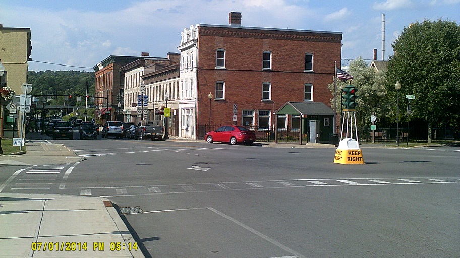
Stopped for gas in Canajoharie, further east in the Mohawk Valley.
The dummy signal is still there.
As pictured, traffic for Albany is directed along I-90 eastbound, while traffic for Boston is directed ahead (east but soon to curve south) on the Thruway to the Thruway's Berkshire Spur, which turns into the Massachsetts Turnpike. This is a bit deceiving, since I-90 joins the Berkshire Spur at about its midpoint and then runs along the length of the Mass Pike. This is obviously to keep through traffic out of Albany (though it gives the Thruway more toll money as well). This could be made a bit simpler by routing I-90 along the toll roads as has been suggested in the past; others have mentioned an unusual I-1090 designation for the existing I-90, since all three-digit numbers ending in "90" are in use in New York, but I don't see why the number can't be derived from I-87, especially since that would de-emphasize any affiliation with I-90. We ended up taking a third routing to catch the southwest corner of Vermont.
When we ended up on NY-7 in Troy after exiting I-787, traffic came to a standstill because the traffic lights were out from the second one all the way up the hill for about a mile to 25th St., likely due to a power outage from too much air conditioner use on that hot day.
We ended up in a scenic but frustrating wait on NY-7 entering the built-up portion of Hoosick just short of the Vermont border because repaving had reduced the road to one lane through the settlement.
NY-7 becomes VT-9 and the signs mix together near the border as well as with VT-279 signs.
Bennington. In the second photo the left turn signal used to have *only two lenses in each direction, one with a red arrow, the other with a green and yellow arrow on at different times.

On US-7 leaving Pownal Center (Street View), looking into Massachusetts and possibly a bit of New York on the right.
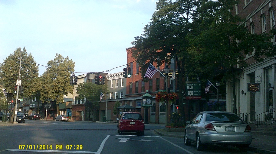
The old-timey MA-2 shield in the square in Williamstown is still there, but, as a surprise to me, much of the rest of the signage that I saw appeared relatively new or even brand new and posted where needed as opposed to what I've heard in the past about Massachusetts. Perhaps this is a result of the new Massachusetts Department of Transportation, formed from existing agencies in 2009. There were still a few slip-ups, like US-7 and US-20 being posted as state routes, but that's a fairly common error in any state.
In Massachusetts, at least on the portion of US-7 and/or US-20 that we travelled, the speed limit changes frequently and without advance warning. The differences weren't great, but it was rare to see consecutive signs with the same speed for whatever reason.
Northeast Ohio is part of the old Connecticut Western Reserve so many places here have a New England influence. I found it interesting nonetheless that from the angle of US-7 southbound, Park Square in Pittsfield to me looked like the square in Painesville, Ohio, on steroids. (That view of Painesville Square isn't yet an HD image but the ones along Liberty Street just beyond that are.) Another coincidence is that US-20 is one block to the left in the Pittsfield view and one block to the right in Painesville's.
Another interesting thing that happened right after was that when I saw the stretch of US-7 leaving the square, I recognized it instantly from a photo in America's Highways, 1776-1976 put out by the Federal Highway Administration which I found as a kid and later acquired when the government was giving away old copies for free, even though the photo was decades old and taken from the air. It was like driving into the book. Compare: *Book page Street View
Wednesday, July 2, 2014 (Lenox, Massachusetts to Woburn, Massachusetts to York County, Maine to Woburn, Massachusetts)
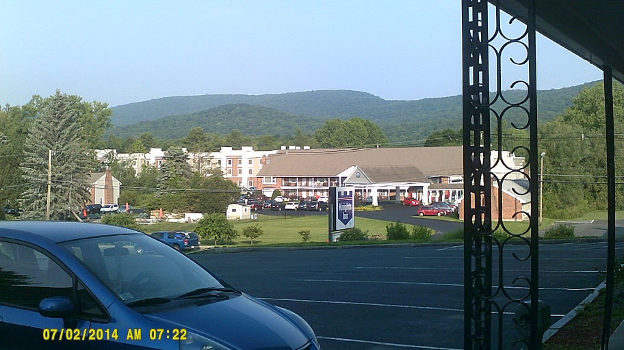
View of Lenox Mountain from the motel
Due to a tight schedule in 1983 my family traversed the Berkshire Mountain portion of I-90/Turnpike in the dark, and I had a feeling that we were missing great scenery. I was right. I-90 here encounters its highest point east of the Mississippi River as noted.
As I mentioned above, I hit 100,000 miles this day on the odometer, at the western Framingham exit. Incidentally that city is where my family stayed for the week in 1983.
Both the 128/I-95 freeway around Boston and its surroundings looked more modern than I expected. One exception: The old short onramps.
Looking at maps in the past, I surmised that I-95 could follow what is I-93 south of 128, bringing it downtown which it was originally supposed to do on its own never-built highways, noting that the only real obstacle would be the ramps in the tight 93/95/128 cloverleaf interchange. I wondered if the interchange would need to be improved anyway even without the number switch due to heavy traffic, and, now that I've been through it: Yes, it could use a reworking.
After checking into a motel in Woburn, near that interchange, we took off to Maine. (Before leaving the area, we saw this sign pair which is a sign version of a double take.)
Construction well underway for the *Whittier Bridge replacement on I-95 over the Merrimack River near the New Hampshire border. The structure of the new bridge immediately to the east is identifiable and had an overhead crane on it, the type that looks like a large horizontal bar which is often seen at such sites.
Stopped at the New Hampshire welcome center but totally forgot to take the ceremonial photograph.
Across the bridge into Maine.
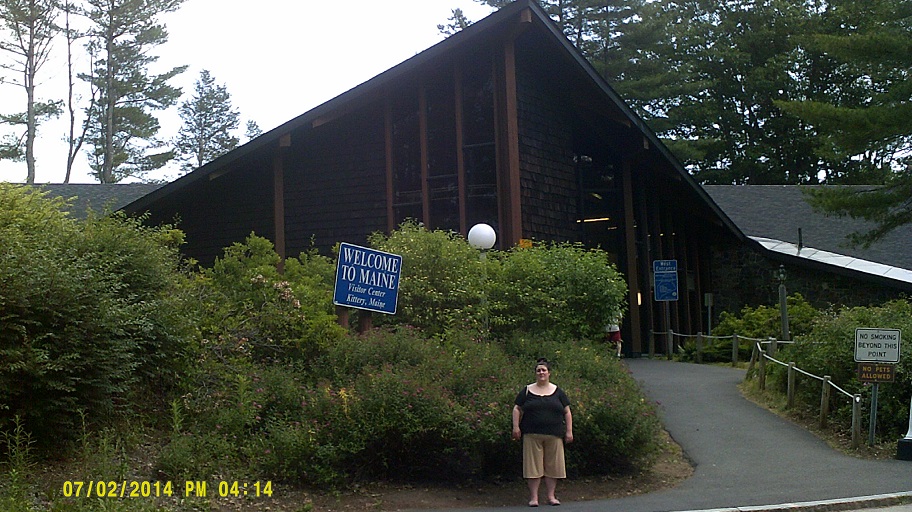
Got Maine's.
I'm not exactly sure, but I believe that on this trip we went farther into Maine than my family did on a similar side trip in 1983, though I still haven't got close to getting out of York County yet. I wasn't sure if the easternmost point of the U.S. that I've visited came on this trip at the intersection of US-1 and the access road to I-95's Exit 7, the first exit north of the welcome center, or on the 1983 one in roughly the same location, not sure where since none of us remember the exact route. Turns out it was neither: It's Sagamore, Massachusetts, visited later on the 1983 trip.
After brief exploring, went into the huge *Kittery Trading Post for a minute then ate dinner at the *Weathervane Seafood Restaurant across the street.
Taken from the Trading Post's lot; restaurant is just to the left (Street View facing the other direction)
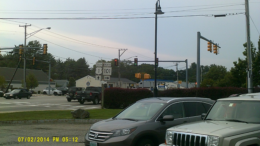
Took US-1's bridge back into New Hampshire, right into downtown Portsmouth, then shifted back over to I-95. That's the point where I took the only photo in N.H., having missed the one at the welcome center earlier, but it didn't come out well due to the leftover rainy conditions from an earlier storm, so here's Street View (nothing special, just an interchange).
On the way back to our motel, after we re-entered Massachusetts, we heard on the radio that because of the potential merger of a cold front and Hurricane Arthur passing just offshore, Boston's big Fourth of July celebration featuring the Boston Pops Orchestra would be *moved a day early, probably for the first time. This would cause an interesting chain of events for a big chunk of the trip.
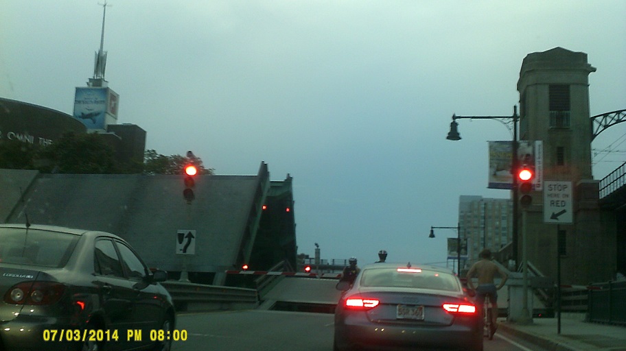
Thursday, July 3, 2014 (Downtown and Greater Boston, Massachusetts)
In spite of the impending weather we stuck to our plans, reserving tickets for a 1:30 trip on a whale watch excursion.
MassDOT likes to offset the signs above its markers (SOUTH, TO, etc.) to the left. I found this on 93 southbound showing the way to MA-16 westbound. Offset mania!
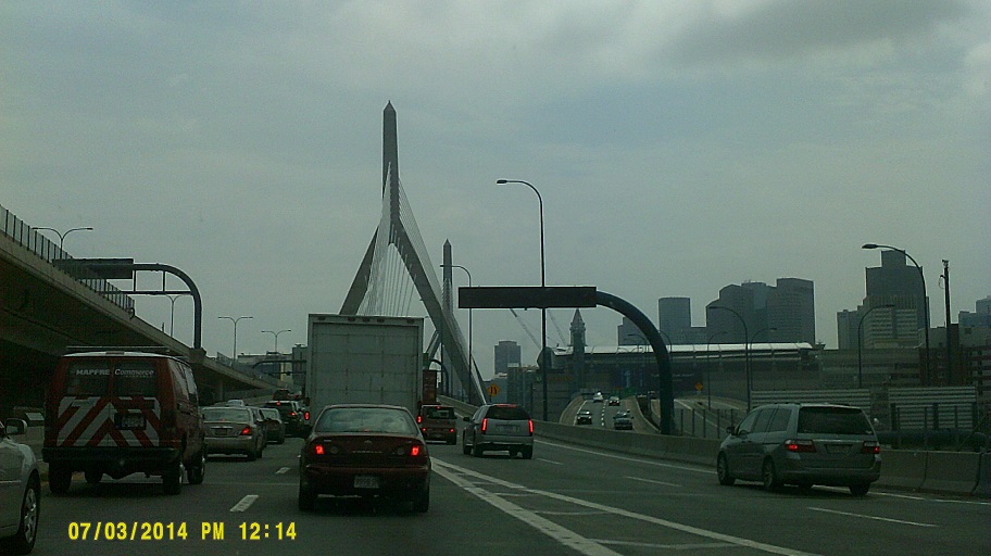
Southbound 93 at the Zakim Bridge, built as part of the Big Dig
In spite of the legends, I really didn't see any crazy traffic in and around Boston, nothing more intense than I've seen in any other city of equitable size.
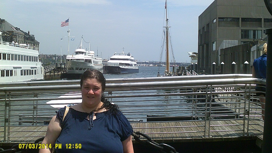

Views around Boston "Habah" (hey, that's what the sign says)
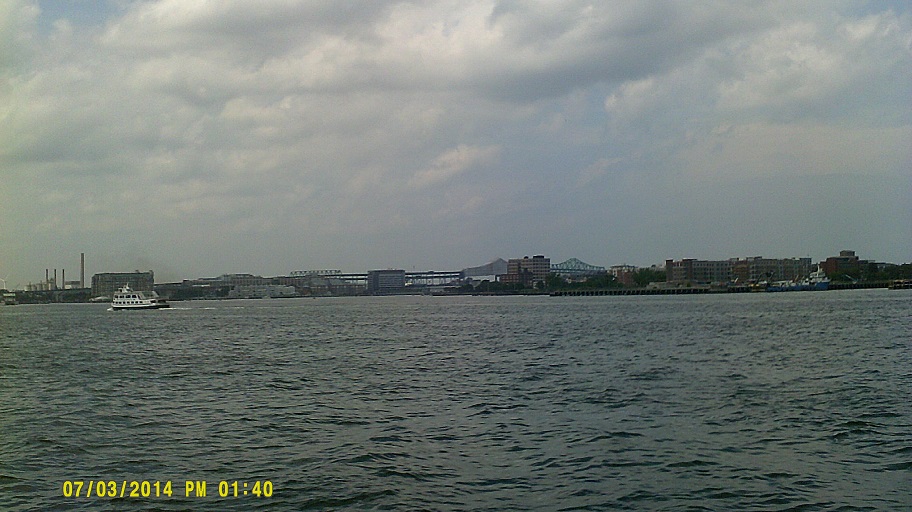
Tobin Bridge, under *renovation, in the back
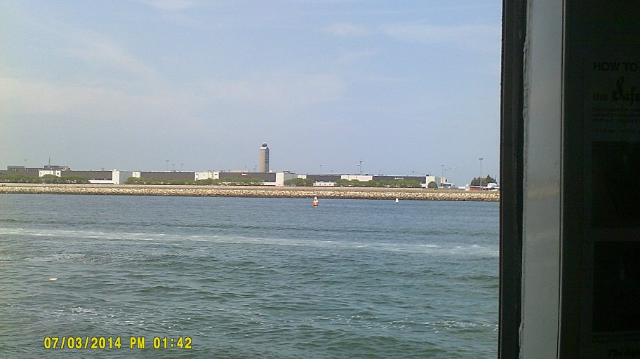
Control tower at Logan Airport (just missed an incoming flight right over the catamaran)
That was about it for me. While I didn't get seasick in the traditional sense, I sure wasn't feeling well. All the same, since my girlfrend reported that whale sightings were scant on that trip. In spite of all that, it was still a good adventure. Postscript: The same catamaran, leaving port at the same time of day, *made the national news at the end of the month.
After coming ashore, we briefly visited the New England Aquarium up to its closing at a discounted rate since the whale tour was affiliated with the aquarium.

By this time we were debating whether to see the fireworks show, noting that our schedule and the new schedule for it overlapped a bit. While deciding we walked over to the Faneuil Hall Marketplace.
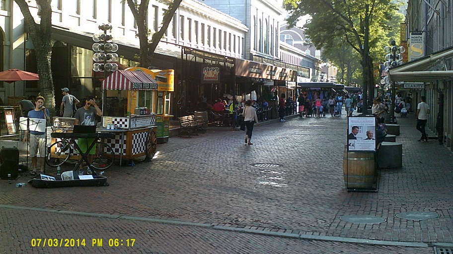
Quincy Market on the left, North Market on the right
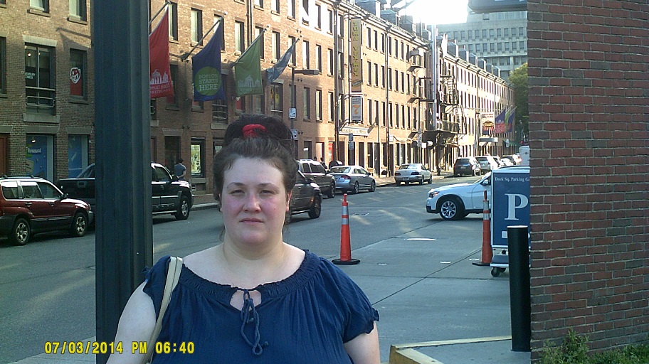
North Market from the Dock Square parking garage
I then decided to at least try to find a place relatively close to the festivities so that we could take some in even though it would probably be distant. It didn't work out. It was announced frequently that the obvious choice of road, Storrow Drive, would be closed early (originally noon, pushed back to 1:00) because of its proximity to the Hatch Shell, so I improvised. I took the Turnpike west past Fenway Park then exited at the "Allston-Brighton Tolls" (Exit 20 in our direction). From there we spent about an hour-and-a-half driving around Cambridge and Boston, all the while listening to the concert on the radio, and even seeing a helicopter flying over the scene at one point. While trying in vain to find a good location, we probably saw the Zakim Bridge from every conceivable angle while travelling over, under, and next to it, drove past the stub end of the former Sullivan Square overpass three times, crossed the Tobin in each direction, and even briefly stopped in Cambridge's Central Square.
Charles River Dam Bridge on MA-28 en route – the second time
Eventually we just decided to go back north, finding a Friendly's one town over from Woburn in Stoneham. (Roadgeek note: I got to see an instance of the legendary Massachusetts flashing green signal at Stoneham's Central Fire Station. Brief, dark video for proof) In spite of passing a smaller fireworks display along 93 en route, I still felt bad missing the large show in person. It was probably for the best, though, because the show was *truncated due not to the hurricane but to a strong storm outrunning the cold front mentioned above. The storm did affect us anyway – we saw street flooding and power was out in the motel until morning. Oh well, still time to see fireworks the next day elsewhere...or so we thought....Friday, July 4, 2014 (Woburn, Massachusetts to Hammonton, New Jersey)
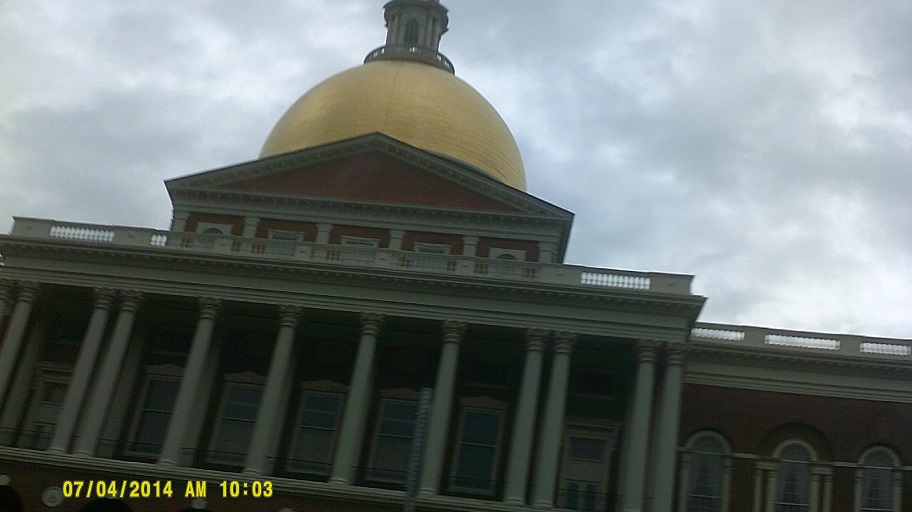
Although I was trying to get us away from the hurricane's effects as soon as possible, I still wanted to see Massachusetts' State House, since I'd never seen it person before due to it being buried in Boston's skyline, so after crossing the Zakim one last time and then traversing the streets of the Beacon Hill neighborhood, I finally drove past it.
The weather was decent if a bit wet into Rhode Island. Unlike the State House in Boston, the capitol in Providence overlooks the main freeway, I-95. I also appreciated the recently-improved I-95/I-195 interchange.
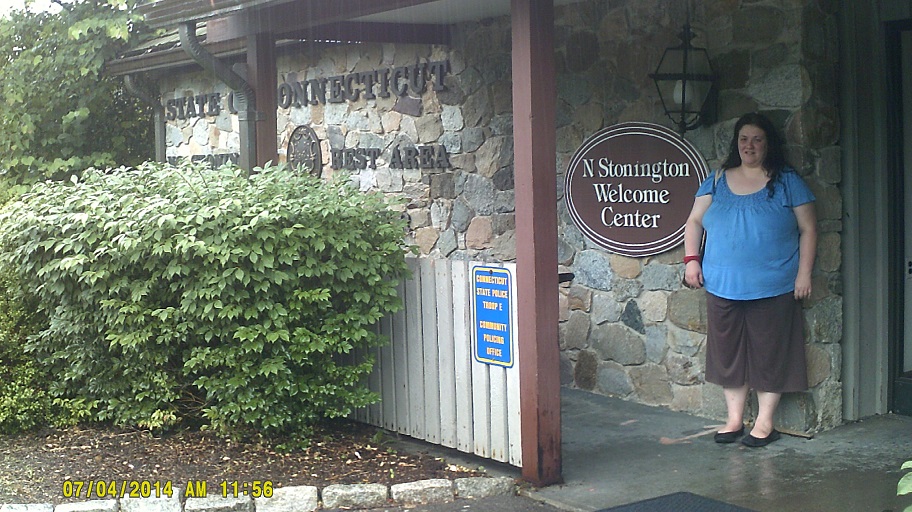
After the RI-4 split, the big rain finally hit, in sheets. We stopped at the Connecticut welcome center as much to get out of the rain as to get information.
The drive in Connecticut, though rather murky due to the persistent but lessening rain, was still interesting, with the many ports on Long Island Sound somewhat visible in the left distance where I-95 used high-level bridges to cross various rivers, plus the parallel Amtrak line would often weave back and forth. I-95 at I-91 construction is ongoing in New Haven, which, surprising to me, has a skyline. As for road-related features, I noted Texas-style frontage roads in places (not just roads paralleling 95, but businesses lining them, etc.) and, in contrast to New York's signs directed toward texters, there were still old-style FOOD-GAS-PHONE-LODGING signs held over from the tolled Connecticut Turnpike days. Who knew that those signs would outlast the phones that they identified?
After re-entering New York, we saw the giant 95 shields at the northbound toll plaza in New Rochelle. Just about the time that I realized that I was nearly on empty because I had been waiting for the rain to stop to get gas, I was already in New York City, and after missing some stations because there were no advance signs for them, we were heading along the Hudson River further into the borough of Manhattan, where I knew gas stations would be scarce. I crossed my fingers and headed past Lincoln Center. (Honestly, while I followed the signs for it onto W. 79th St., sadly I don't recall actually passing it because I was too concerned about the fuel to focus.)
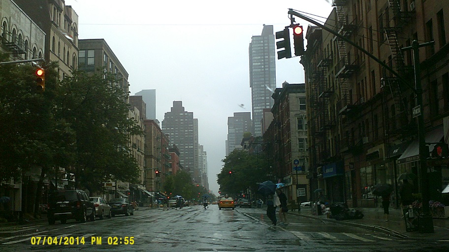
Columbus Ave. southbound at W. 75th St.
Tempting fate I decided to stick to my plan of deviating from the west side of Manhattan Island to loop past Times Square. After that, I decided not to push my luck any further and detoured into New Jersey via the Lincoln Tunnel, where I finally found a gas station after circling around a bit. (Yes, I remembered not to get out of my car because New Jersey is one of two full service-only states.) Only after consulting maps after the trip did I find out that I was only two blocks from a gas station at one point before my detour.
After gassing up I grabbed a snack at the Alexander Hamilton service area on the New Jersey Turnpike. My original plan before the detour into New Jersey was to leave Manhattan through the Holland Tunnel, first because I'd never been through it but second because I was curious as to what the views of the Statue of Liberty were like along I-78 just to the west. With us being in N.J. already, we returned to Manhattan via the tunnel, and I decided to use US-1/9 Truck as a shortcut to save time and distance, in the process forgetting about the stretch of I-78 I had planned to include in the original route plan. Looking at Street View, it doesn't seem though that the views are any better than those from I-278 in Brooklyn which I travelled in my only other visit to New York City in January 1997.
Taking this new route, though, afforded us the chance to pass by the Freedom Tower (at my only photo opportunity at a red light we were too close to the base for a good photo) and the 9/11 memorial. After that we traced the route of the 1997 trip (a former college acquaintance and I were visiting another acquaintance in southern New Jersey and took side trips to NYC and elsewhere) taking I-278 through the Brooklyn-Battery Tunnel, across Brooklyn (where actually I didn't see the Statue of Liberty like I did in 1997), and over the Verrazano-Narrows Bridge and the Goethals Bridge into New Jersey (all these crossings, more than planned because of the gas detour, cost quite a bit of toll money). After all this I can now say that I've been in every New York borough but one (Queens).
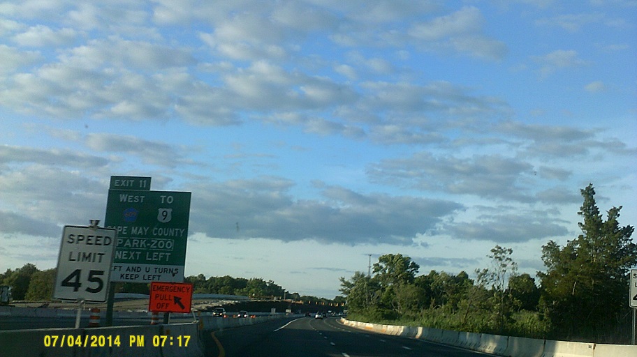
Still tracing the 1997 trip we hopped back on the Turnpike a bit (at this point it's obviously directly under a major flight path to Newark Liberty International Airport) then switched to the Garden State Parkway, destination Cape May at the southern tip of the state.
The GSP has lots of construction, for *widening and *other projects.
Construction at the south end to turn three "exits", really at-grade crossings, into true exits
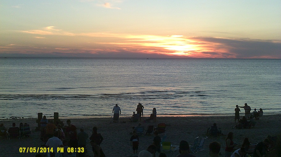
So we finally get to Cape May, where, according to their webpage that I had seen that morning, there would be fireworks around 9pm. As soon as we entered the city, we saw a variable-message sign saying that the fireworks had been postponed to the 6th. Of course we were very disappointed but we went searching for an explanation. The overall reason was easy enough to guess – the hurricane passing close by was the cause for the *postponement – but apparently the reason why it was postponed two days rather than one actually worked to our advantage: The neighboring settlement of North Cape May also decided to postpone their *Independence Day Festival two days, from the 3rd to the 5th, and apparently Cape May didn't want to have theirs on the same day (I never heard that for sure, but it seems logical). So rather than wait around for two days, which would put us a day behind on our vacation schedule, we only had to wait one.
Unfortunately all of this shuffling put us behind in looking for a place to stay that night. Of course the beachfront locations had been booked for months, and they were out of our league anyway. After searching a bit we headed back up to Atlantic City but the motels near the GSP there were not to our liking, so I just simply headed west on US-30/White Horse Pike (see *this article explaining N.J.'s horse pikes), knowing that because it was one of the two original main routes between Philadelphia and Atlantic City that there must be someplace to stay along the way. We eventually found basic lodging in Hammonton, at just about the halfway point.
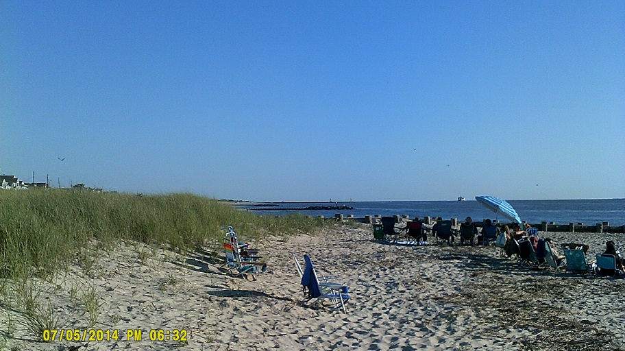
Saturday, July 5, 2014 (Various places in southern New Jersey)
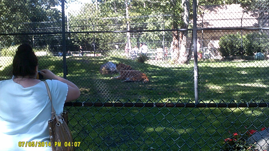
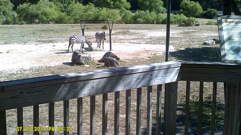
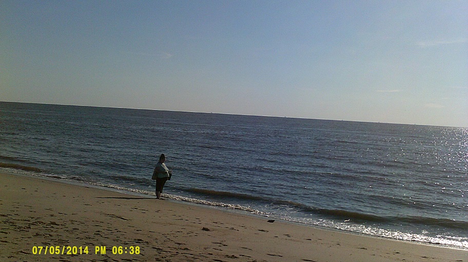
We started the new day at one of New Jersey's famous diners – in this case the *Silver Coin Diner. After that we decided to look for a motel for that night right then to avoid another instance of the scrambling from the night before. Then we were cape-bound. We were actually pretty lucky not to get caught in the weekend shore traffic until the end, but still witnessed a traffic jam in the middle of New Jersey's Pine Barrens. Fortunately there were well-marked alternate routes to the shore so we cobbled a few roads together and got there at a reasonable time. We had a brief time to visit the free Cape May County Park & Zoo before heading off to the festivities.
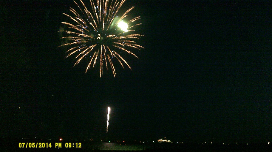
After the show we headed north and while we looked at a few other motels en route we eventually settled on one we looked at that morning, almost to the Pennsylvania line. Coincidentally it was on the other horse pike, Black Horse Pike.
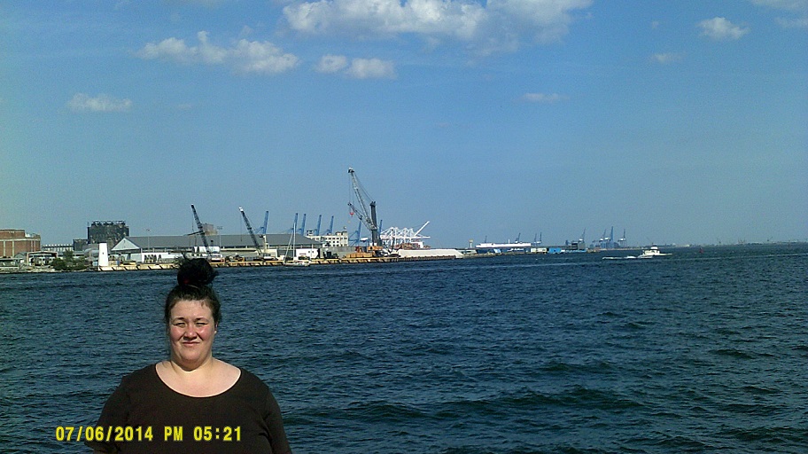
Sunday, July 6, 2014 (Bellmawr, New Jersey to Rockville, Maryland)
To Philly.
The I-295/I-76/NJ-42 interchange is really cool to look at *from the air [.pdf file] but a pain to drive in any combination but the straight through 76-to-42 route, especially now that they're *in the process of rebuilding it.
Across the Ben Franklin Bridge then to the Liberty Bell.
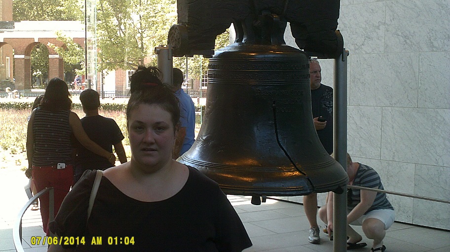

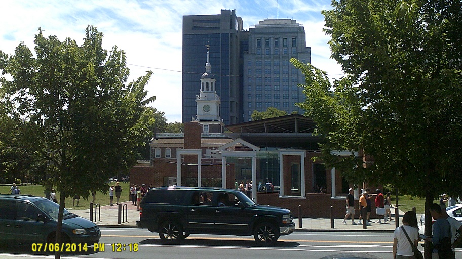
The last two include shots of Independence Hall
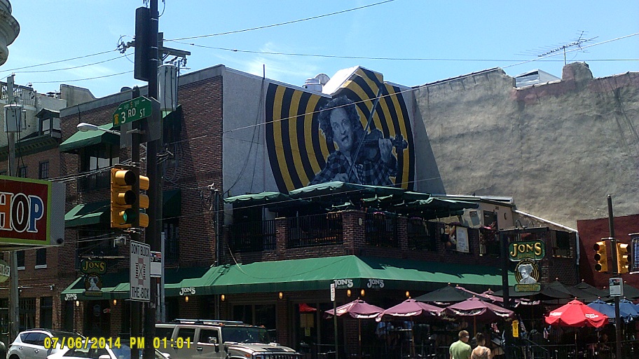
I happened to catch a glimpse of the Larry Fine mural in a video playing in the Independence Visitor Center, so after asking for directions, we went there and I ate a cheesesteak and sweet potato fries in the *building purported to be his birthplace.
Back to I-95 to Delaware and Maryland.
I-95 into Delaware got heavier. I thought it might be because of the I-495 bridge closure in Wilmington but it stayed heavy beyond there. I guess it was just because it was the last day of a holiday weekend. In fact, ironically, most of the traffic problems we faced were between the big cities. Traffic within them was heavy but generally flowed well.
Because of the short distance of I-95 in Delaware plus the presence of Wilmington, the first service area/information center on 95 southbound is just before leaving the state. It actually shares access with 95 northbound to the Delaware House in the median. With all of the traffic the left exit was more than challenging.
Lots o' people
We also stopped at the first open median service area in Maryland, Maryland House (the actual first, Chesapeake House, was closed for renovation). Also crowded.
I-95 southbound has the option of taking MD-272 South to North East. (That exit also featured two things that the Maryland State Highway Administration has done lately: First, where most states just have EXIT [number][arrow] in the gore, the space between a ramp and the mainline just after the split, Maryland puts a miniature version of the advance signage; second, they put a horizontal arrow on the sign if it's a loop ramp, whereas the other states that I've seen use it use it when the ramp diverges at a right angle. I can't illustrate this particular exit because Street View isn't recent enough but here's the MD-100 interchange further down the road.)
At the I-695 beltway northeast of Baltimore, the interchange has been rebuilt so that I-95 no longer crosses over itself. I-695 still does.
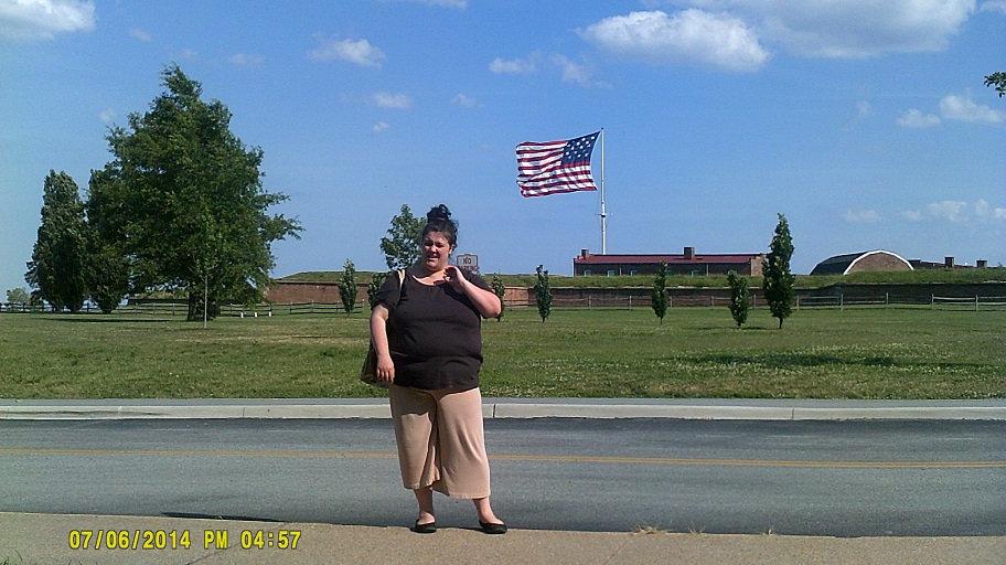
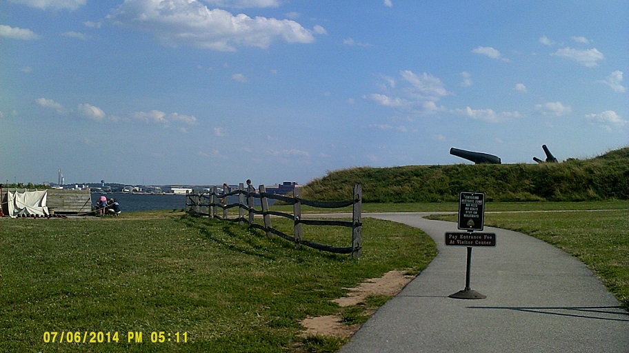
I had wanted to stop at Fort McHenry in 1997 (one of the side trips from South Jersey mentioned in Day 4), especially since I-95 goes right under it, but there was no time. This year I wasn't going to pass it up especially since this year is the 200th anniversary of the lyrics to the "The Star-Spangled Banner" written right there.
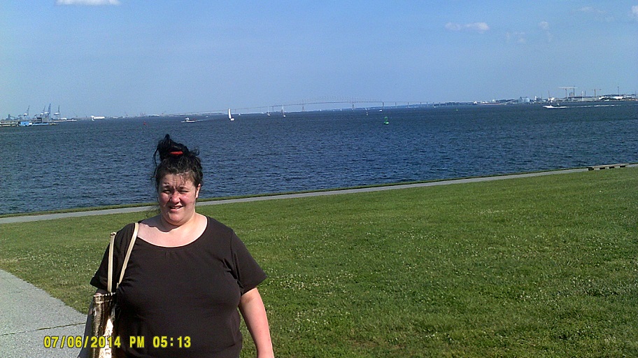
The bridge in the distance is the Key Bridge
Here is where I-70 was to meet I-95 in a later highway plan. Infrastructure is still there. As it is 70 is just an afterthought on 95.
I read two articles earlier in the year (*1 *2) about the communuity of Arbutus having a tree within the I-95/I-695 interchange southwest of Baltimore, but as they say, it's really hard to see while going at highway speeds. I didn't see it. Here it is on Street View.
There was a welcome center beyond Baltimore (the service plaza did not offer tourist information) but it was closed by then.
Onto the famous Capital Beltway around Washington then I-270 to our motel.
Monday, July 7, 2014 (Greater Washington, D.C.)
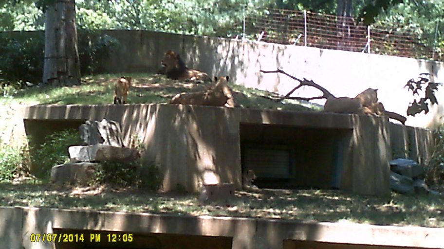
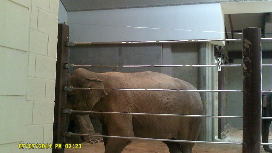
To the National Zoo. (Temperature between 90 and 95 degrees)
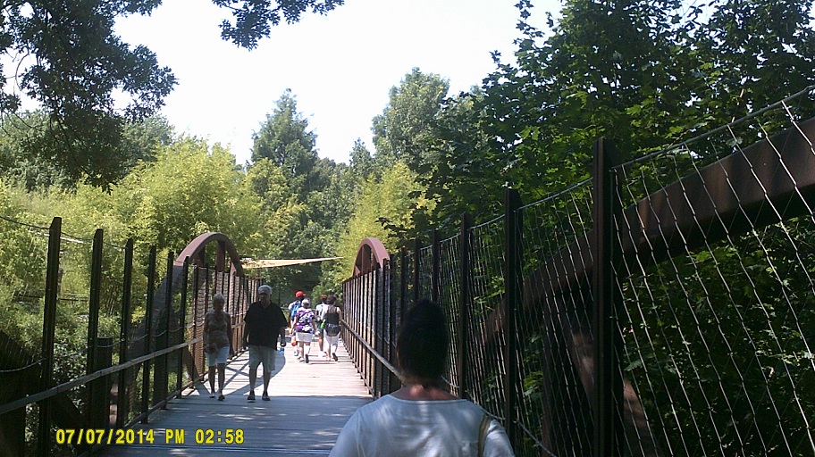
Olmsted Walk, the main path through the zoo, empties right into Connecticut Avenue as pictured last. Until the 1950s or so it carried motor traffic, per a sign in the zoo.
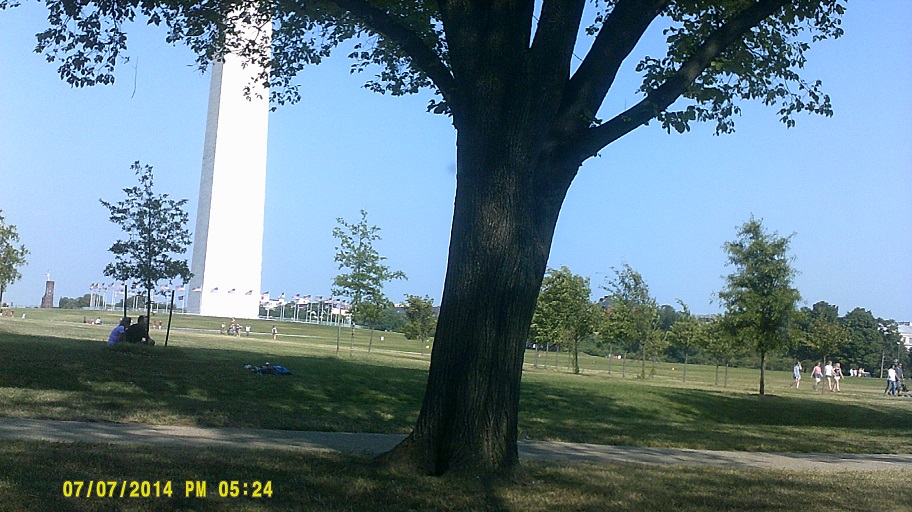
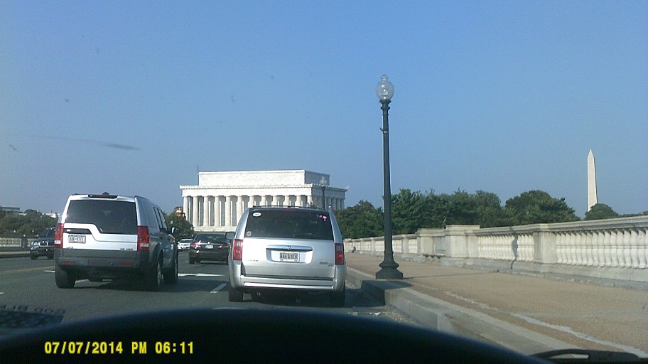
After that I drove around downtown Washington to see the monuments and other famous buildings, circling around a few times between there and the adjacent area in Virginia across the Potomac River. It was rush hour so the timing wasn't great but overall it wasn't that bad.
We left via the George Washington Parkway following the Potomac on the Virginia side. I'm sure that I'm not the first one to note this but it's interesting to me that the sign identifying the exit to the Federal Highway Administration doesn't follow the usual FHWA standards but rather those of the National Park Service because they maintain the Parkway. Oh, yeah, the CIA is also at this exit.
At the end of the Parkway we rejoined the Beltway to return to Maryland.
While they aren't as big as the I-95 shield in New York, the I-270 and I-495 shields at the split just north of the Potomac are the biggest that I've seen on signs.
Dinner at *Mamma Lucia.
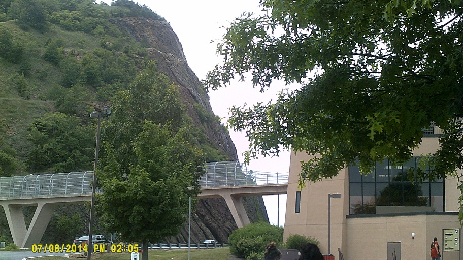
Tuesday, July 8, 2014 (Rockville, Maryland to Lake County, Ohio)
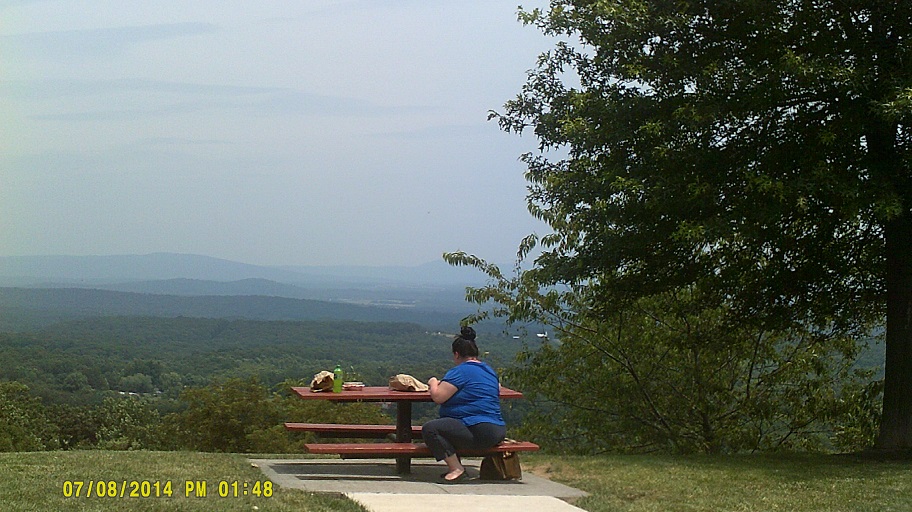
The view gets more and more scenic on I-270 as one approaches I-70.
More rural traffic jams around Hagerstown due to construction.
When we reached the I-70/I-68/US-40/US-522 interchange, we ultimately went all three directions. First, I went south on US-522 to partially duplicate the four-states-in-30-or-so-miles side trip (PA/MD/WV/VA) that we took in 2011, but only went as far as Berkeley Springs, West Virginia, since we already were in Virginia the previous day. Second, we went west on I-68/US-40 to revisit the Sideling Hill Road Cut also like in 2011, except this year we also went there to finish off the leftovers from the previous night.
Since we weren't continuing west on I-68, I took the offramp at Exit 72 to turn around, but then decided that I'd drive the old route over Sideling Hill, including the reverse curve. After rejoining I-68 on the other side, we finally took the third direction and continued north into Breezewood, Pennsylvania. Signs right around Breezewood are still old vintage, so the big mileage sign to Baltimore and Washington that I saw when I was a kid and noted was still there in 2011...was still there in 2014.
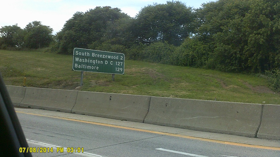
Why I was able to take a photo of the big old sign this time around. This is first time that I've driven through Breezewood in the other direction (I-70 westbound traffic following US-30 eastbound). It actually took longer than 2011 even though the route is shorter.
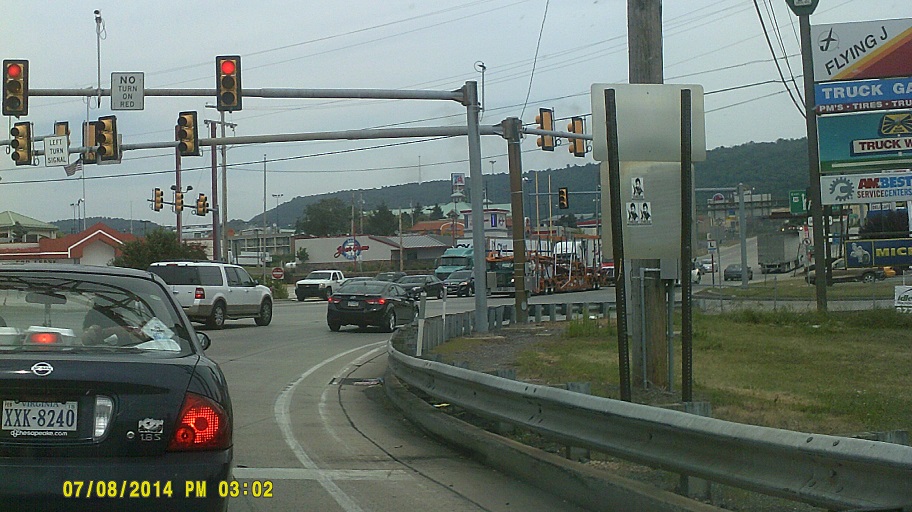
Onto the Pennsylvania Turnpike, where we hit more rain in various places including around Somerset. Bad timing as one of the sections was in the process of being widened so the existing lanes were very narrow. Among the things that we saw in between the showers were New Baltimore, where I could see that so far the steps to the "Turnpke church" were still there on the church side in spite of the widening project surrounding them (I vaguely remember that the ones on the opposite side were gone but the scene went past too fast for me to study it all), and the Allegheny Mountain Tunnel, whose REMOVE SUNGLASSES signs before the portal that I had seen on the 1997 South Jersey trip had been...removed. The rain picked up again around Akron, Ohio, though fortunately the weather wasn't as bad as it was further west in Medina County, where two small tornadoes touched down. The weather broke just long enough that there was a rainbow when we turned from I-76 to I-77 southbound, and once we got past I-277/US-224, the rainbow's right end was on top of I-77! More heavy showers around the Akron-Canton Airport, but then finally clearing as we exited towards Canal Fulton. The reason for that side trip? Just like the end of the trip in 2011...
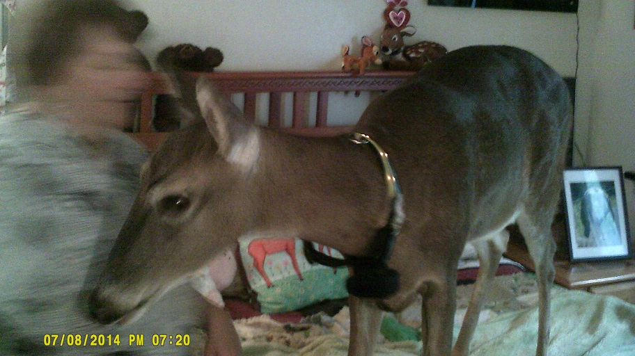
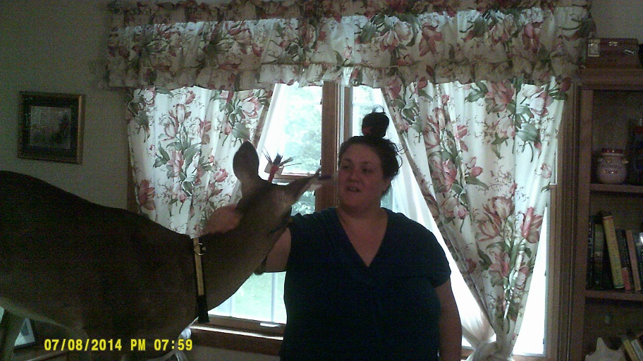
*Dillie the Deer, as featured in lots of news stories and publications in the last few years. This was our third time visiting her. Unfortunately this was the last amusement on the trip; we were home less than two hours later. (Side note: The Cleveland skyline is not visible to I-271 northbound travellers on the bridge over the Cuyahoga River just north of the Ohio Turnpike because the I-271 southbound bridge blocks the view, but you can see it later on the railroad overpass just north of where I-480 branches to the west.)
Total mileage: 2,312 miles