
I came up with this title in light
of all the different locations I took pictures from of the Rainbow
Bridge at the top of Donner Peak and of Donner Lake.
On
the downside, there was alot of smoke and haze in the area due
to a forest fire nearby (and the photos show it). All photos on
this page are from August, 2001
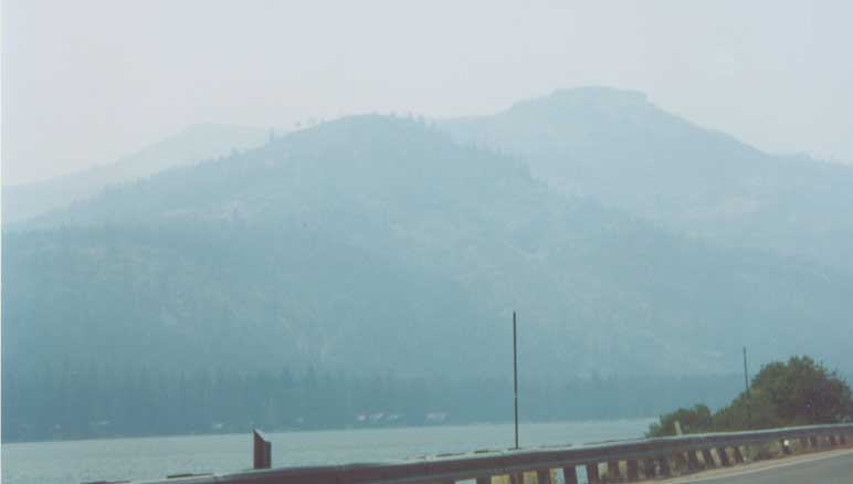
The Lincoln Highway (Old US 40) hugs the shore of Lake Donner.

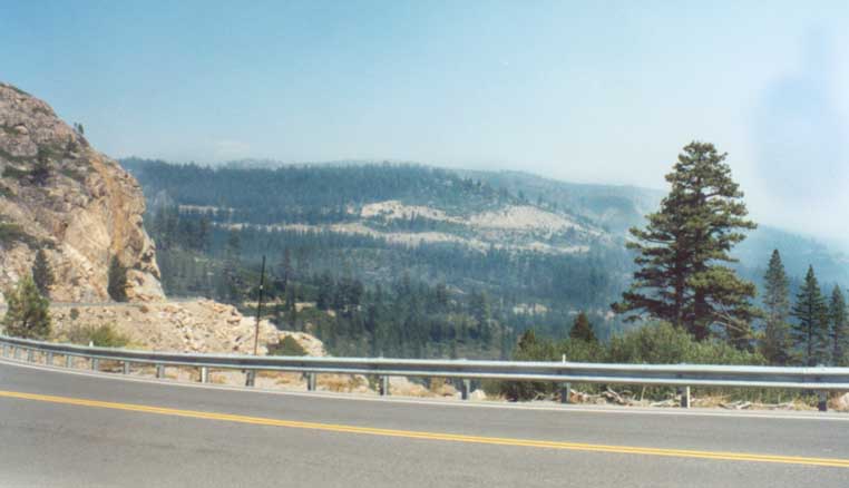
Distant picture of the Rainbow Bridge over Donner Gap from
near Donner Lake
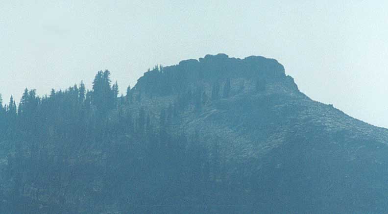
Getting closer and closer (I think I stopped at every pulloff
on the way up going west)
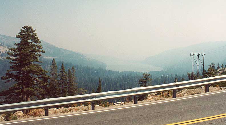
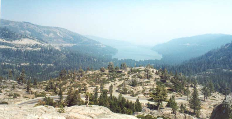
And while I looked at Donner Peak, I also looked back to Donner
Lake at every opportunity as well (You can see I-80 on the far
left)

Looking back towards I-80 about midway up the approach to Donner
Pass at Truckee
Due to space considerations, my several China Wall photos are
on the 'Rest of California' page
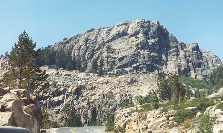
The Top
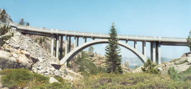
Rainbow bridge at close range
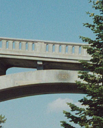
Close up on the date of the bridge, 1925 (carved into it)

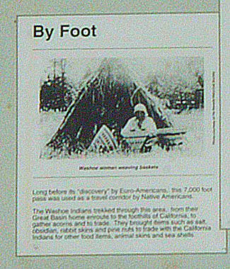
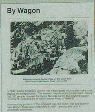
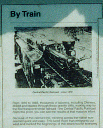
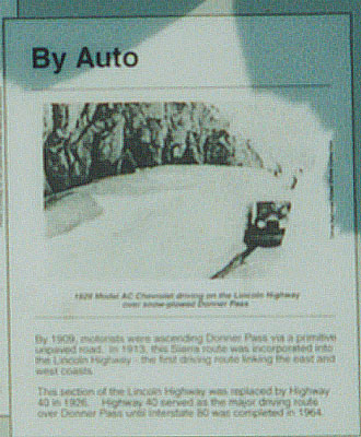
California supplies this informational placard at the foot
of Rainbow Bridge.
Below, close ups on each section
of the placard (from left to right: foot, wagon, train, auto)
The view east
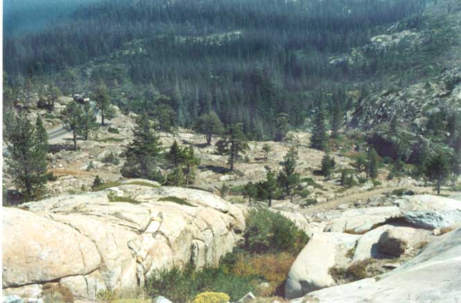
View directly down
Looking out to Donner Lake from the Rainbow Bridge
In addition I now have a page of photos taken in 1960 by Rick
Tittle on this page, if you wish to
compare then with now.
Page created on August 2, 2003/last updated on January 30,
2005
Questions, comments, and submissions can be sent to Sandor
Gulyas
Go east to Nevada LH Photos | Go
west to the Rest of California LH Photos
| Return to California Lincoln Hwy Photos
home