(Maps of the current system are linked from here)
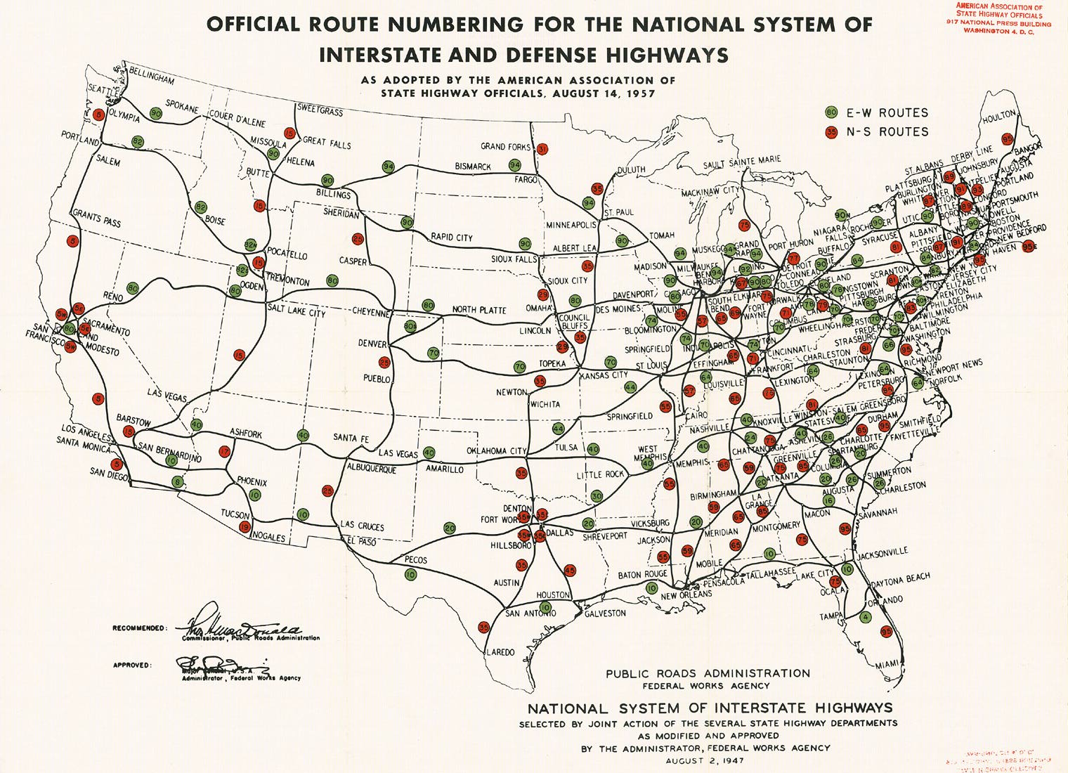
August 1957:
June 1958:

Thanks to the American Association of State Highway and Transportation Officials and Richard Moeur for these two maps.
More official Interstate history may be obtained here.
This page created Monday, June 30, 2003/Last revised April 30, 2005
Return to Interregional Highways