South Columbus
 Another freeway that uses local routes for its "control
cities." Unlike the other location (see the Worthington
page), this freeway has no real locations other than the routes
listed on the sign above. US 23 NB aproaching Oh 104 on Columbus's
south side. (Photo from February, 2004)
Another freeway that uses local routes for its "control
cities." Unlike the other location (see the Worthington
page), this freeway has no real locations other than the routes
listed on the sign above. US 23 NB aproaching Oh 104 on Columbus's
south side. (Photo from February, 2004)
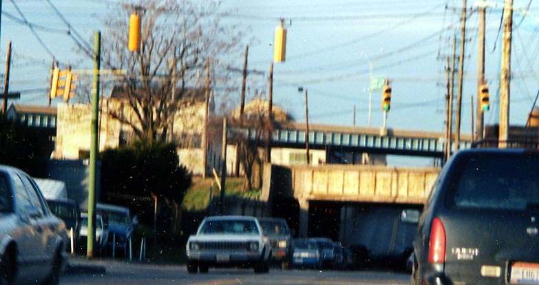 A double decker bridge (almost) along Parsons Ave near
Oh 104 and a railroad, just south of Buckeye Steel (Photo taken
in November, 2003)
A double decker bridge (almost) along Parsons Ave near
Oh 104 and a railroad, just south of Buckeye Steel (Photo taken
in November, 2003)
 Some remenants of the old south end of Parsons Ave
at Oh 317. When the bridge over the Big Walnut Creek was rebuilt
in the 1950s, Parsons Ave. was shifted over to the west away from
the riverbank for safety reasons. (Photo taken in November,
2003)
Some remenants of the old south end of Parsons Ave
at Oh 317. When the bridge over the Big Walnut Creek was rebuilt
in the 1950s, Parsons Ave. was shifted over to the west away from
the riverbank for safety reasons. (Photo taken in November,
2003)
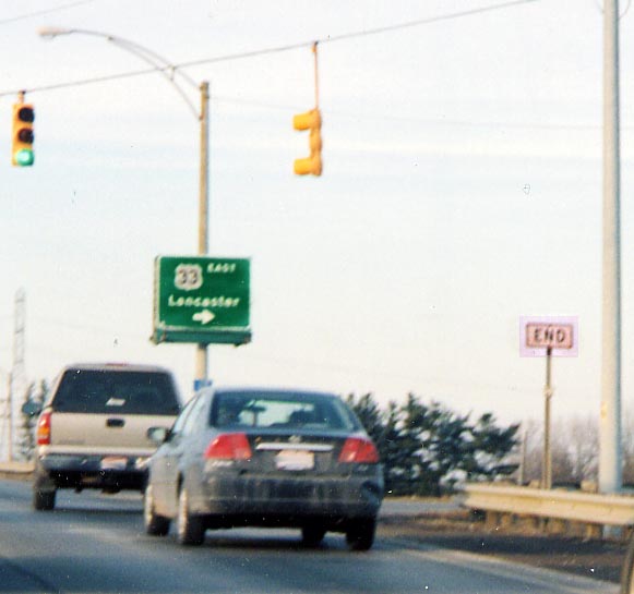 That end sign is supposed signify the northern terminus
for Oh 674. It still ends here, but someone doesn't want the average
motorist to know that I guess.
That end sign is supposed signify the northern terminus
for Oh 674. It still ends here, but someone doesn't want the average
motorist to know that I guess.
(Photo taken
in February, 2004)
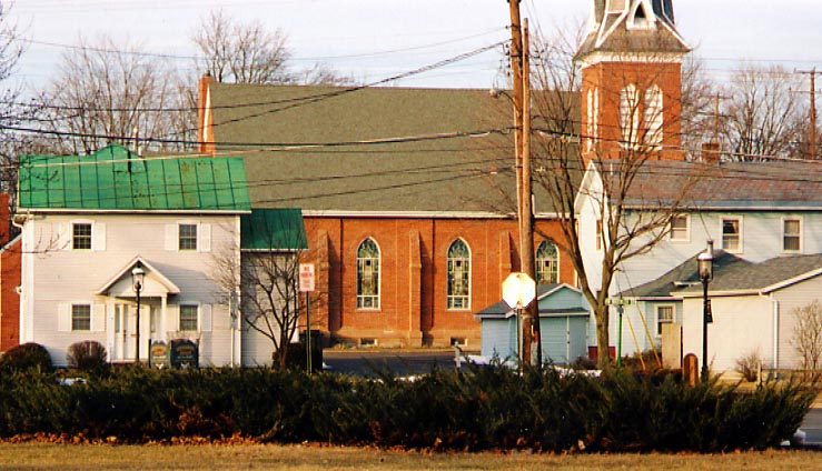 That white octagon (stop sign whited out by camera
flash and sunset) is at the location for the original northern
terminus for Oh 674 in Canal Winchester. When US 33 was routed
outside of town in the 1960s, then Oh 674 was left dangling for
a couple of years till ODOT got around to routing it out to the
new freeway.
That white octagon (stop sign whited out by camera
flash and sunset) is at the location for the original northern
terminus for Oh 674 in Canal Winchester. When US 33 was routed
outside of town in the 1960s, then Oh 674 was left dangling for
a couple of years till ODOT got around to routing it out to the
new freeway.
(Photo taken in February, 2004)
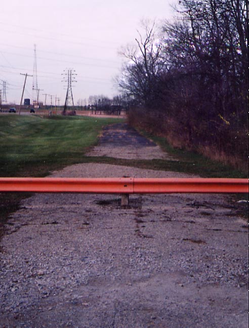
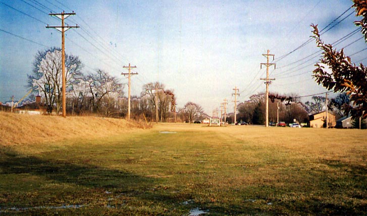 This clear path between the electric wires at first
glance would to appear to be an old highway or railroad right-of-way.
Those away of the history of SE Franklin County (specificly Canal
Winchester) would know better. This would be the path for the
Ohio-Erie Canal (note the man-made ridge on the left), and one
can follow this along the northside of Groveport Rd from Canal
Winchester to Groveport. (Photo taken in February, 2004)
This clear path between the electric wires at first
glance would to appear to be an old highway or railroad right-of-way.
Those away of the history of SE Franklin County (specificly Canal
Winchester) would know better. This would be the path for the
Ohio-Erie Canal (note the man-made ridge on the left), and one
can follow this along the northside of Groveport Rd from Canal
Winchester to Groveport. (Photo taken in February, 2004)
Page created on April 7, 2004
Questions, comments, and submissions can be sent to Sandor
Gulyas
Return to the Columbus Virtural Roadtrip