Roadside Kentucky (Northern &
Central)
Covington/Newport |
Louisville | Lexington
| Roadside Kentucky West (seperate
page)
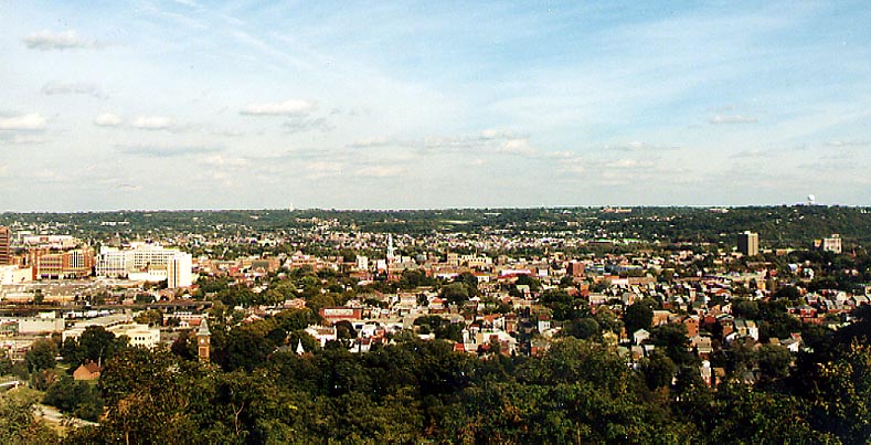 The skyline of Covington, Newport, and Dayton, Kentucky.
Compare this to the Cincinnati skyline
here. From Devou Park (Photo from October, 2003)
The skyline of Covington, Newport, and Dayton, Kentucky.
Compare this to the Cincinnati skyline
here. From Devou Park (Photo from October, 2003)
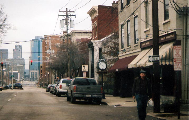 Covington Streetscape. Look down the street and you'll
see Cincinnati. (Photo taken in December, 2004)
Covington Streetscape. Look down the street and you'll
see Cincinnati. (Photo taken in December, 2004)
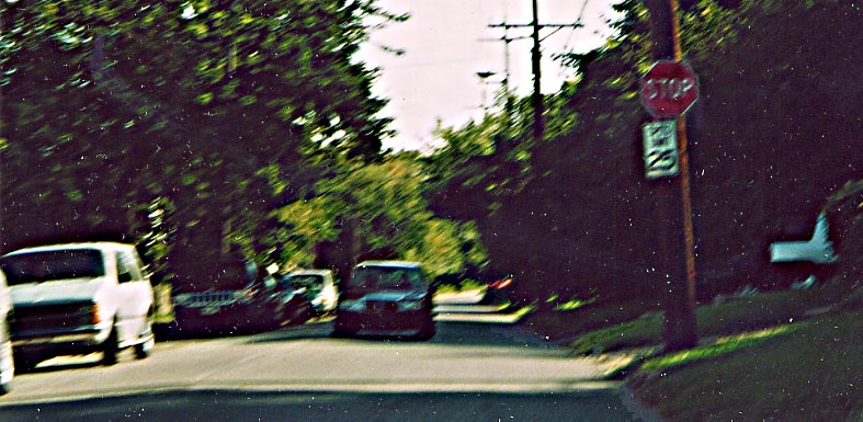 This stop sign (on the right) is not for any sort of
intersection (unless you think special consideration is given
to particular driveways), but as a form of traffic/speed control
along sidestreets in Covington. I've forgotten the location unfortunetly.
(Photo from October, 2003)
This stop sign (on the right) is not for any sort of
intersection (unless you think special consideration is given
to particular driveways), but as a form of traffic/speed control
along sidestreets in Covington. I've forgotten the location unfortunetly.
(Photo from October, 2003)
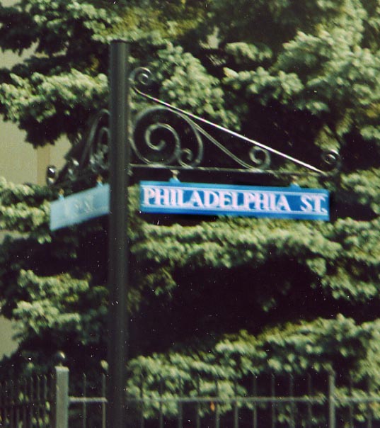 Covington Streetsign. To hell with standards, lets
go for individuality and "beauty." (From October, 2003)
Covington Streetsign. To hell with standards, lets
go for individuality and "beauty." (From October, 2003)
 Nice Architecture, bad business. Either this is a rough
part of town or Newport citizens are not interested in oriental
imports. Along with the archtecture of the building, the old style
of street names placed into the side of the building (look above
the Oriental Imports signs) is what drew me to photographing this
building. Located at the intersection of 5th St and Saratoga St
(Photo taken in October, 2003) which leads us to the next photo....
Nice Architecture, bad business. Either this is a rough
part of town or Newport citizens are not interested in oriental
imports. Along with the archtecture of the building, the old style
of street names placed into the side of the building (look above
the Oriental Imports signs) is what drew me to photographing this
building. Located at the intersection of 5th St and Saratoga St
(Photo taken in October, 2003) which leads us to the next photo....
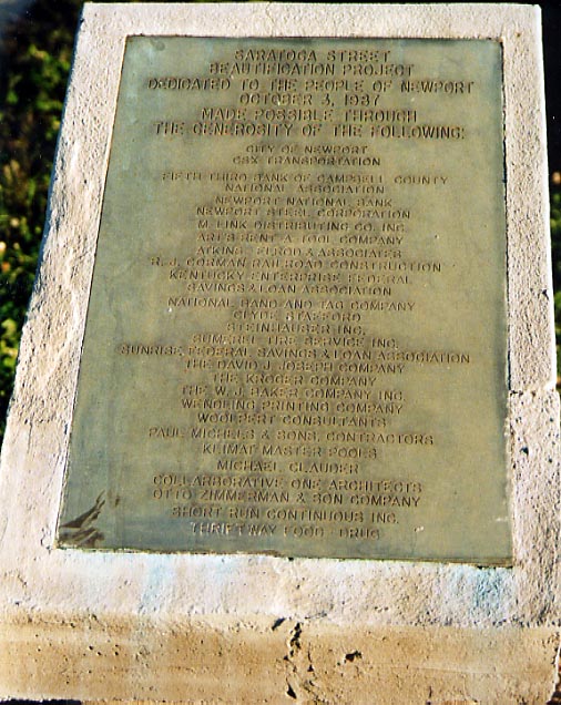 There was a beautification project along Saratoga St?!
If the photo and caption above are any indication, this project
either didn't work or after 16 years
There was a beautification project along Saratoga St?!
If the photo and caption above are any indication, this project
either didn't work or after 16 years
(1987 when
the project was completed till 2003 when this photo was taken)
needs to be revisited. (Photo taken in October, 2003)
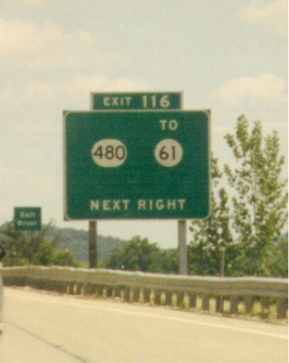
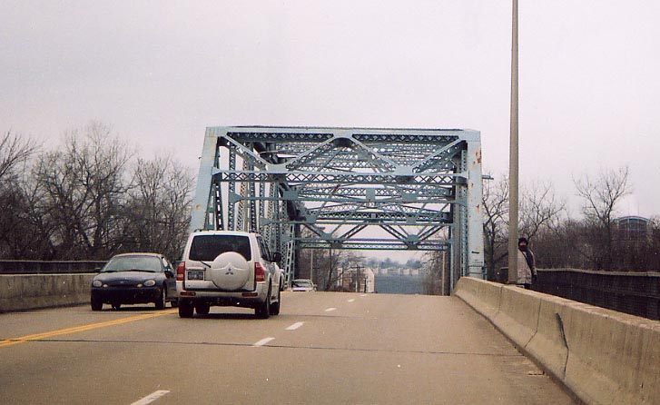 Kentucky 16(?) bridge over the Licking River connecting
Newport and Covington. (Photo taken in December, 2004)
Louisville
Kentucky 16(?) bridge over the Licking River connecting
Newport and Covington. (Photo taken in December, 2004)
Louisville
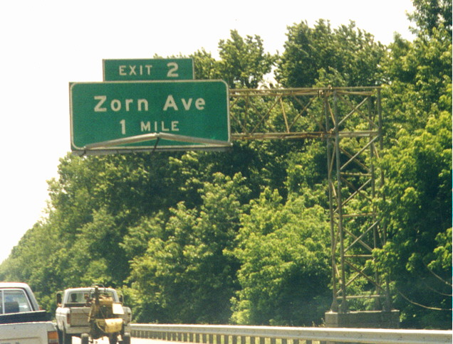 I'd best describe this as a lattice design freeway
sign support. This is the most common style used in Kentucky,
whereas other states
I'd best describe this as a lattice design freeway
sign support. This is the most common style used in Kentucky,
whereas other states
are more apt to use "large
metal pipes" instead. This photo was taken along I-71 in
Louisville. (Photo taken in June, 1999)
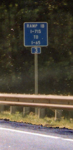 Visual proof that
I-71 reaches all the way to I-65 in downtown Lousiville? (Photo
taken in June, 1999)
Visual proof that
I-71 reaches all the way to I-65 in downtown Lousiville? (Photo
taken in June, 1999)
 I just find BGS lacking control cities, or using other
routes as control cities, to be interesting-odd. This sign was
along I-65 between Louisville and Elizabethtown. (Photo taken
in June, 1998)
Lexington
I just find BGS lacking control cities, or using other
routes as control cities, to be interesting-odd. This sign was
along I-65 between Louisville and Elizabethtown. (Photo taken
in June, 1998)
Lexington
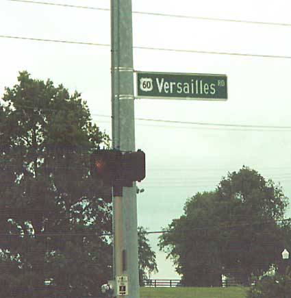 A miniture US route shield included on a road name
sign, west of Lexington (Photo taken in September, 2001)
A miniture US route shield included on a road name
sign, west of Lexington (Photo taken in September, 2001)
Links
H.B. Elkins
Jeff Carlyle
Sherman Cahal
KYDot
Page created on March 3, 2004/ last updated on May 18, 2005
Questions, comments, and submissions can be sent to Sandor
Gulyas
Return to: Mississippi River 1999/2003
Roadtrips | Virtual Cincinnati Roadtrip