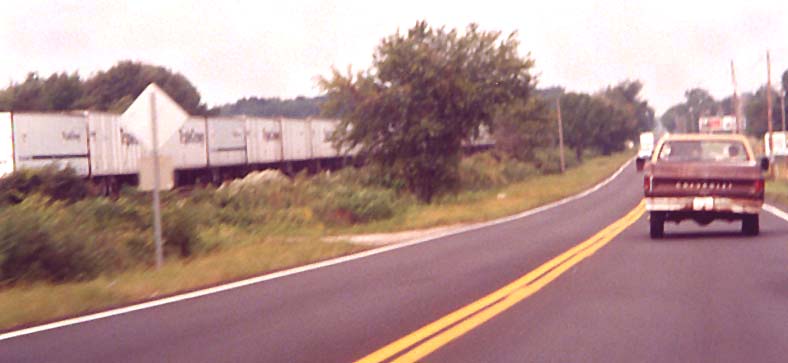
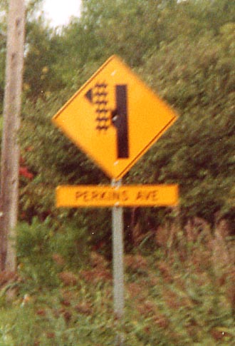
As you can see, US 6 approaching Sandusky closely follows Norfolk Southern tracks. A special sign is needed at Perkins Avenue because of their proximity.
As
you can see, US 6 approaching Sandusky closely follows Norfolk
Southern tracks. A special sign is needed at Perkins Avenue because
of their proximity.
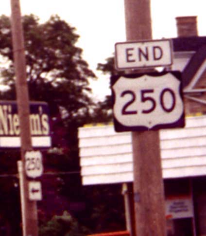
The
(north)western end of US 250 is at the corner of Sycamore Line
(yes, "Line", not "Lane") and Cleveland Road
(US 6). The (south)eastern end of US 250 is in Richmond, Virginia.
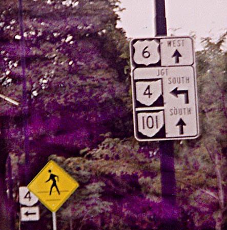
These
marker assemblies, miniature versions of the common Ohio junction
signs, are found approaching the US 6/Ohio 4/Ohio 101 intersection
from all three route approaches. And this is one example of many
showing that Ohio 101 still follows US 6 into downtown Sandusky.
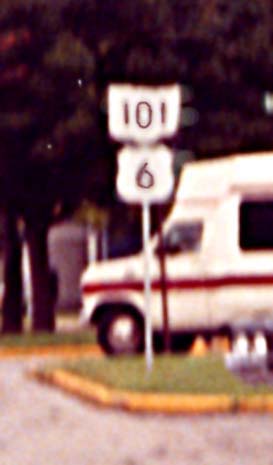
Here
is another example showing the Ohio 101/US 6 concurrency. For
some reason, Ohio 101 is almost always on top in the 101/6 assemblies
along the route. Technically, the US shield should go above (or
to the left) of a state shield.
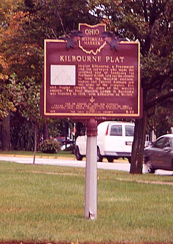
Historical
marker: Kilbourne Plat and Sandusky's street pattern
This marker is also pictured, legibly, at the bottom of this page. It says in brief that Sandusky's streets were laid out in the form of the Masonic emblem (map).
Oh 2 in Erie County
Ohio 2 from the Edison Bridge eastward to the Erie/Lorain County Line has officially been dedicated to Jackie Mayer, after a similar unofficial dedication in 1962. House Bill 149 text
A
few bridges in eastern Erie county are (partially-)colored like
this one. Westbound Oh 2 in eastern Erie County
This
destination sign lists the farther city first. Also unusual is
that Sandusky, located between the two cities listed, and mentioned
on every other Ohio 2 Westbound destination sign, is omitted.
Norwalk
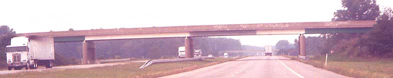
The
eastern end of the bypass around Norwalk (which carries US 20
its whole length and Ohio 18 from the western end to the last
exit before the eastern end -- see the exit guide) is built to
facilitate a northward extension. Note the right-of-way for a
possible eastbound (northbound) roadway in the center of the picture
(it ends at the right-of-way for Cleveland Road/old US 20). Aerial
photo / map of the interchange
Links
US 250 Corridor Study (ODOT District 3) - Covers the northernmost section of US 250 in and near Sandusky from SR 2 northward.
Page created on January 2, 2003/Last revised August 31, 2004
Questions and comments can be directed to Sandor Gulyas or Marc Fannin
Return to The Firelands Photo Index