All Roads
Lead to Cedar
Point
Cedar Point Amusement Park is a very popular attraction in
Sandusky, drawing people from hundreds of miles around. It is
located on the tip of a peninsula jutting out into Lake Erie (map).
The following photos show the various signage used around Sandusky
and Huron to direct traffic to and from Cedar Point.
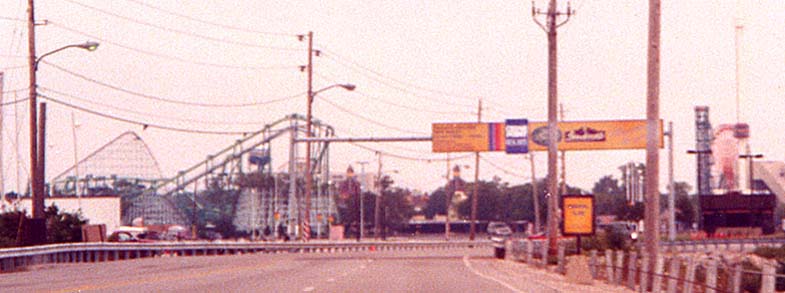
This
has been the main auto entrance to Cedar Point since the Cedar
Point Causeway was built in the 1950's. The overhead sign touts
the accomodations "on the Point" (on the peninsula).
Signs beside the road on the Causeway have a concrete pedestal,
such as the parking sign on the bottom edge of the picture. Marc
worked in the toll booth on the right side of the picture during
the 1996 Season (sorry, no picture available).
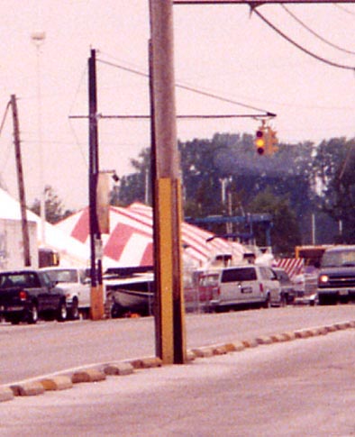
This
signal no longer operates in red-yellow-green mode; in fact, the
red flashing light for parking lot traffic is now located in the
middle lens. During hours of operation, this signal is a formality,
since most intersections around the parking area are controlled
by seasonal employees from the Traffic Operations department.
The Chaussee
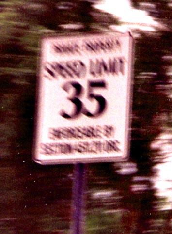
Although
blurry, the unusual font used on signs along the Chaussee may
be seen here. The bottom of the sign actually cites a Sandusky
city ordinance.

The
speed limit appears on the road in various places. Also notice
the single solid yellow line.
Routings through Sandusky for Cedar Point
Cedar Point generates great amounts of traffic. As a result,
there are different paths that visitors are directed to take to
and from the park in order to distribute the traffic as evenly
as possible.
- Traffic bound for US 6 Westbound and Ohio 4 Southbound is directed west on First Street just south of the Cedar Point Causeway, which becomes Monroe Street further west. Monroe Street intersects US 6, but travellers must continue across US 6 to Hayes Avenue in order to access Ohio 4.
- Traffic bound for the Ohio Turnpike (Interstate 80/Interstate 90), Ohio 2 Westbound, and US 250 is directed onto US 6 Westbound at the end of Cedar Point Drive (formerly Causeway Drive), then south onto Butler Street to the US 250 interchange at its terminus.
- Traffic bound for US 6 Eastbound and Ohio 2 Eastbound is simply directed to turn left onto US 6 Eastbound at the end of Cedar Point Drive.
- In addition, traffic in the southeast corner of the parking area is usually directed to
follow the Cedar Point Chaussee, the original auto access road running down the narrow spine of the peninsula. The Chaussee meets US 6 just west of the Ohio 2/US 6/Rye Beach Road interchange,
and the majority of Chaussee traffic is directed to that interchange to access the local highways.
Here is a road map of the area just outside the park, and here is a topographic map (the latter is more detailed but shows an
older routing of US 250).
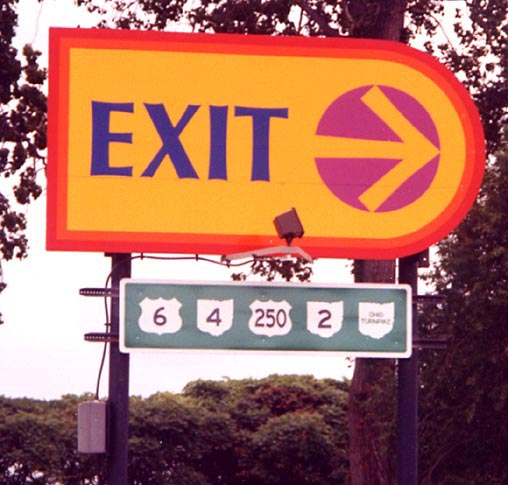
Exit
signage at the southern edge of the parking area
Signage
on the Causeway Southbound - The water is immediately past the
power poles on both sides.
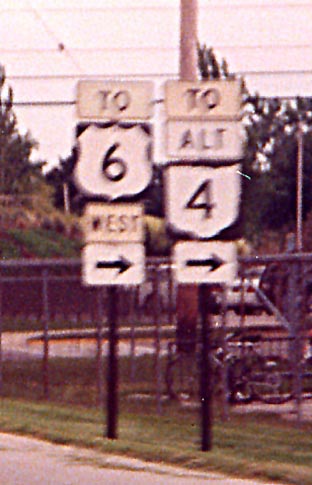
Cedar
Point Drive Southbound at First Street
There is
no Alternate Ohio 4 (the sign is actually referring to the alternate
route to Ohio 4 listed above). Also notice that the "WEST"
sign is underneath the US 6 shield.
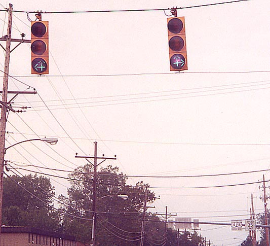
First Street Westbound at Cedar Point Drive - An interesting
arrangement of traffic signal arrows.
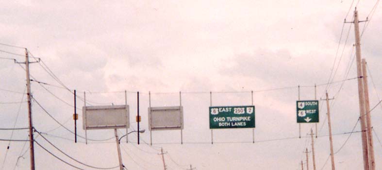
Cedar
Point Drive Southbound approaching US 6.
Gantries
like this are common heading away from Cedar Point. Notice the
unusual contents and layout of signs.
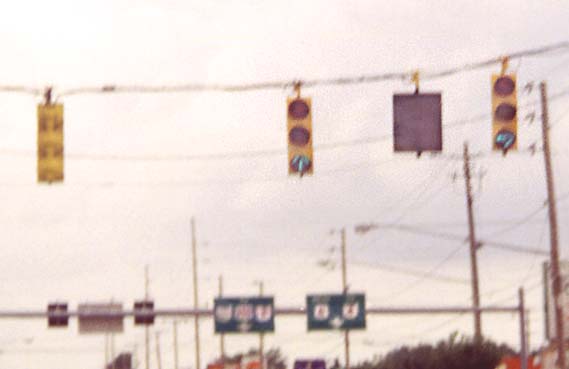
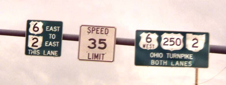
US
6 Westbound at Cedar Point Drive. - The far-left symbol on the
gantry in the background is an Ohio Turnpike marker.
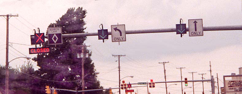
US
6 Westbound at Butler Street
Pictured is a new system of lane control devices installed
sometime between Cedar Point's 1996 and 2000 seasons. Some of
the devices employ light-emitting diodes (LEDs). Notice that because
of the set-up, the left doghouse signal employs fresnel lenses
(making the lights difficult to see from an angle) while the right
one does not, since they can operate differently from each other.
US 250 at Butler Street
Butler Street meets US 250/Milan Road at a modified trumpet
interchange which also connects to local residential streets (aerial
photograph). Norfolk Southern railroad tracks also run through
this interchange.
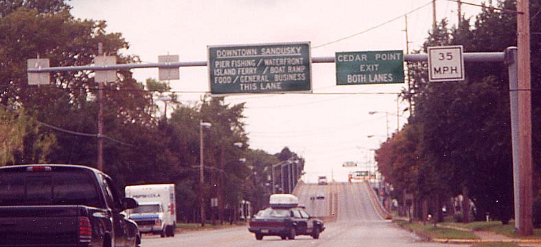
Approaching
the interchange on US 250 Westbound
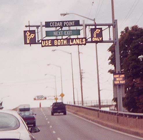
At
the interchange on US 250 Westbound
Here are more
lane controls. The "RIGHT LANE MUST TURN RIGHT" legend
was flashing when this photo was taken.
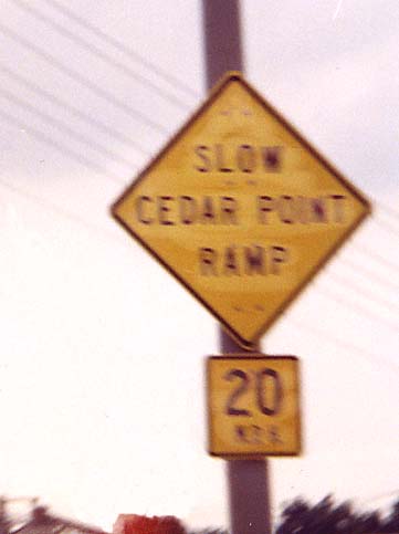
Close-up
of ramp diamond warning sign
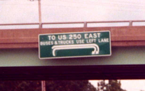
Diagrammatic
sign on the US 250 overpass over Butler Street
The Ohio 2/US 6/Rye Beach Road interchange
US 6 merges into the Ohio 2 freeway just west of Huron, then
leaves it again, following Rye Beach Road Northbound a short distance,
then Cleveland Road Westbound. Aerial photo
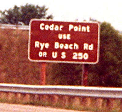
Traffic
is directed to use either interchange so it can be distributed
evenly.
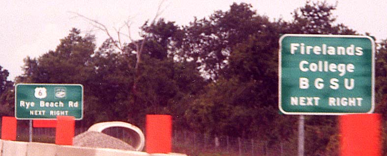
Notice
the Lake Erie Circle Tour marker on the sign in the background. The sign in the foreground is referring to the Firelands branch of Bowling Green State University, located just south of the interchange.
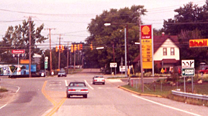
Rye
Beach Road Northbound at Cleveland Road, the US 6 turn - Notice
the signs with the Cedar Point logo.
Links
Cedar Point Amusement
Park - official site
Links to unofficial Cedar Point websites
Page created on January 2, 2003/Last revised July 3, 2003
Questions and comments can be directed to Sandor
Gulyas or Marc Fannin
Return to Sandusky Photos or The Firelands Photo Index
In spite of the name and previous work
experience (by a roadfan.com founder) this page is NOT affiliated
with Cedar Point.


