Note from Marc: In October 2002 Painesville started upgrading its traffic signals. As a result, the scenes in many photos in this section (most were taken in Spring of 1999 or Fall of 2001 - go here for reports) have since changed.
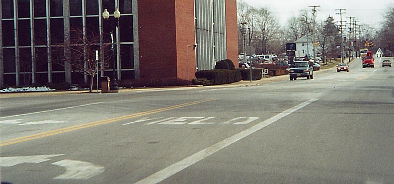
A rare instance driving directions on the pavement in Ohio. On Liberty Street (old Ohio Route 44) Southbound at South Park Place, the southwestern corner of the Painesville Square
When you look east at this signal, you don't notice anything odd....
However when you cross the street and face the signal from the other direction....
I
guess they didn't make 3-directional traffic signals back in the
day. (Oh 86) State St at High St on the south side of Downtown
Painesville (There was another signal painted over like this
along Cedar Rd in East Cleveland, till it was removed in 2000)
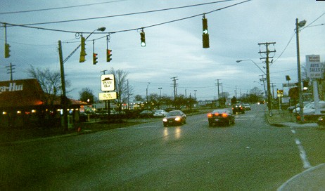
Eastern end of Ohio Route 283 in Painesville. Opposite is the former northern end of Ohio Route 44. Painesville Square is immediately ahead around the corner.
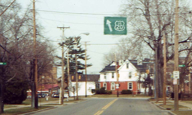
The US Route 20 (bear left)/Mentor Avenue (bear right) split just west of Painesville Square. That is an old US 20 sign hanging above the street, with plenty of wind holes (or maybe they're bullet holes) in it.
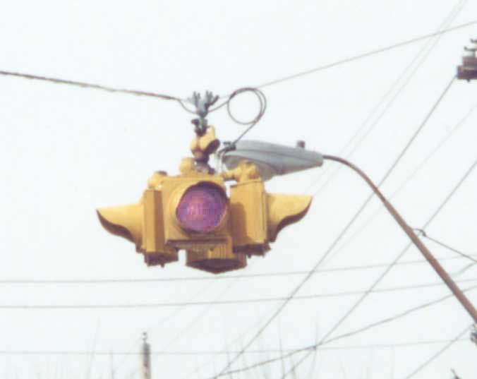
A flashing light with "CAUTION" in the lens (well
it was supposed to. Neither one of us could time it right :-(.
On Liberty Street (old Ohio 44) at South Street
south of the Square in Painesville
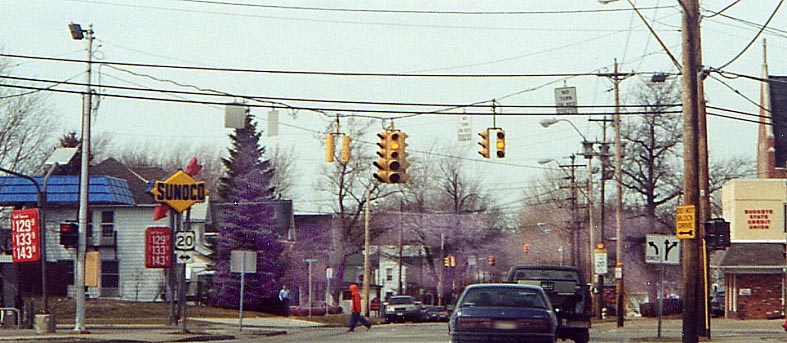
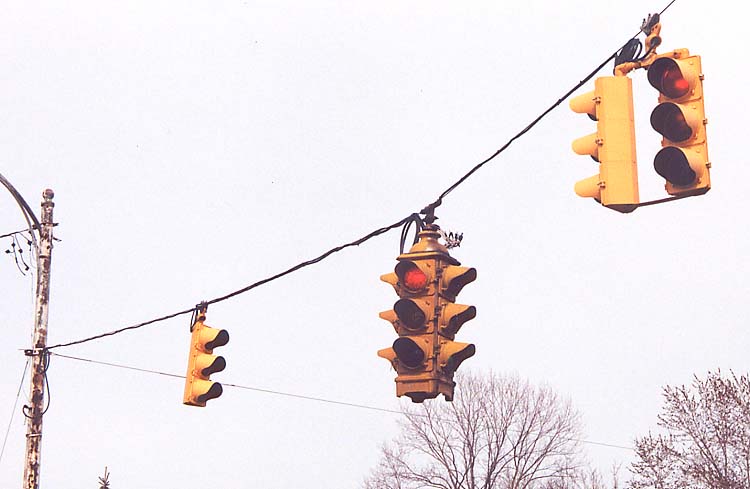
Ohio 86's northern end at US 20. A 4-direction 5 signal traffic light (how heavy could that be?) there as well!
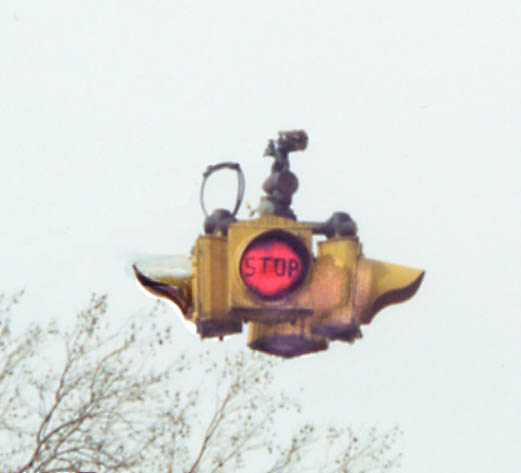
Better timing by us this time! "Stop" in a flasher lens near the post office on the north side of downtown
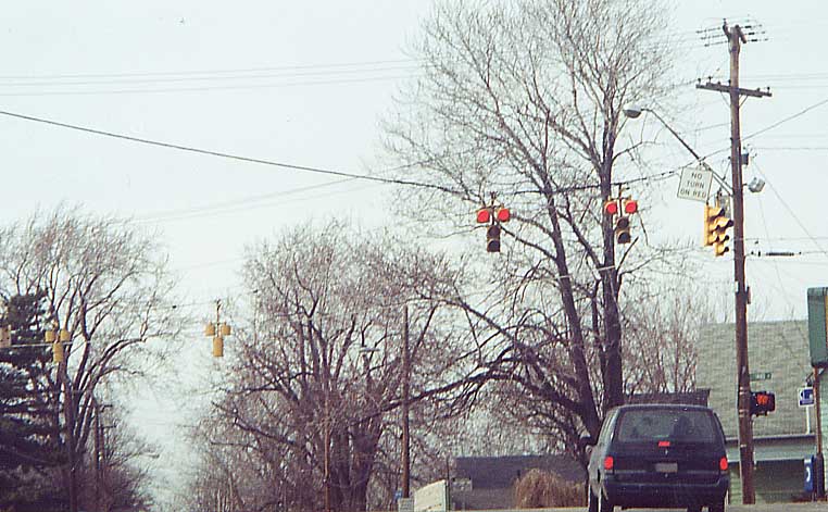
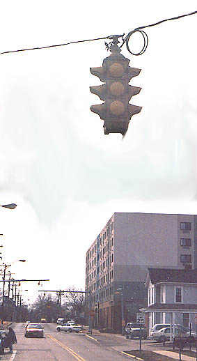
"T" shaped traffic signals with two red lenses (Why?).
Just north of the CSXT tracks and downtown Painesville.
(There
is another case of a "T" shaped signal in Bridgeport,
Oh also)
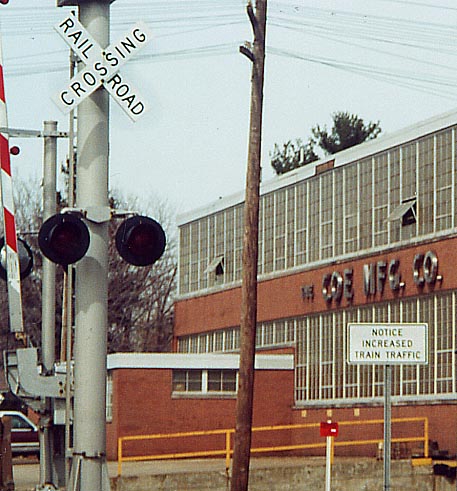
Due to the CSXT / Norfolk Southern rail company merger, train traffic has increased considerably along certain lines, and signs like this one along Bank Street just east of Ohio Route 84/86 in Painesville have been placed along these lines. (Since this photo was taken, the state of Ohio has placed photos of every crossing in the state on this page, where countless other examples of this sign may be found.)
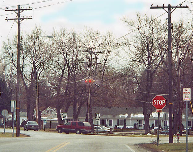
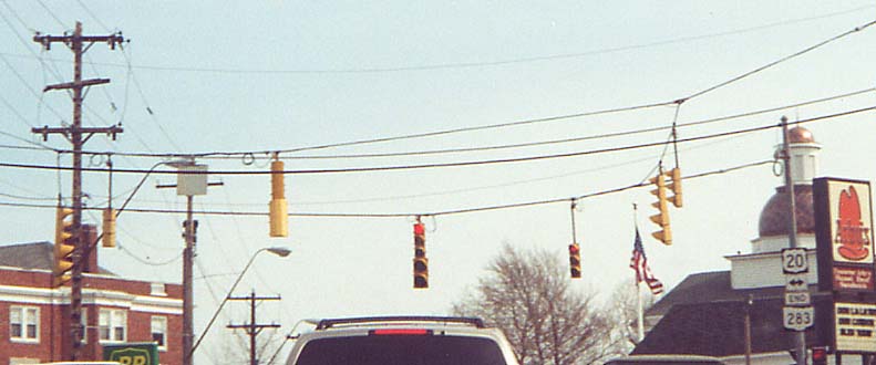
A Five-way flashing beacon. How many of these have you seen before? (This was removed briefly in late August/early September 2003 in order to replace the incandescent lights with LEDs.)
At the southern intersection of Ohio 84 and Ohio 86 in Southern Painesville
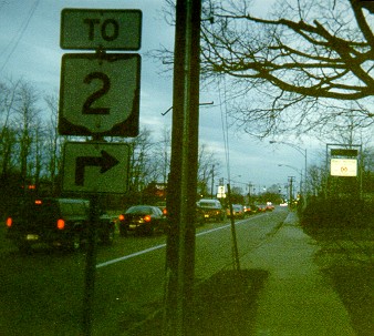
US 20 at Ohio 44
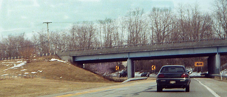
As mentioned on Concord Township/Madison page, there is access to Ohio Route 44 from US 20 only to and from the north, identified with only an Ohio 2 trailblazer on US 20 (Mentor Avenue), and even this is via a city street, Fern Drive, which is now an extension of the Ohio 44 offramp across Jackson Street (map). The overpass begins at the sign on the right edge and ends just before the signal. Note: There are now plans to add the missing ramps to the Ohio 44/Jackson Street interchange, in conjunction with a development: Northeast Ohio Areawide Coordinating Agency | Willoughby News-Herald (5/28/03)
US 20 at the Fern Drive intersection
Notice that there is a green right arrow lit while there are two arrow signals underneath, a yellow and another green. Formerly, the bottom two arrows were lit in succession when the two signals were red and Fern Drive had the green, and the arrow lit in the photo was lit when the other signal was green. Now the 12" arrows are apparently disabled and only the top three indications work. Update: As of November 14, 2002, this assembly had been replaced.
Traffic "calming" (no photos yet)
The Painesville city engineer is proposing traffic calming techniques such as traffic islands and circles. Read about it in this May 3, 2004 News-Herald article.
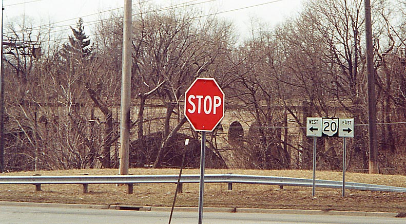
Who downgraded US 20? Ohio 20 error on the east bank of the Grand River
(the Viaduct in the background goes to the CSXT Railroad)
Note: The US 20 bridge over the Grand River just out of the picture to the left was opened October 6, 1988, replacing a 1921 bridge which was damaged in the February 1, 1986 5.0 earthquake (ODNR | USGS).
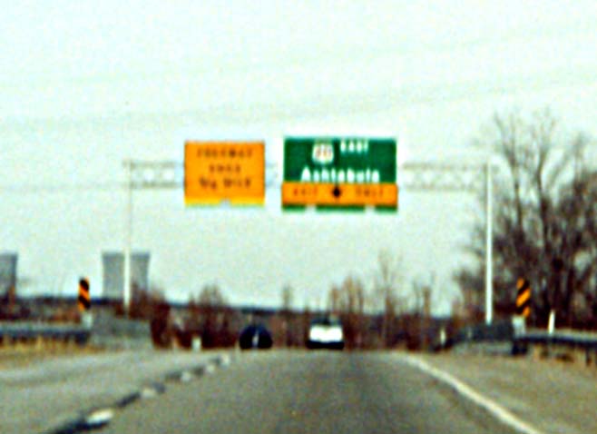
Ohio 2's eastern end at US 20 (aerial photograph)
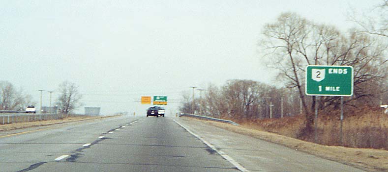
One mile west
3/4 mile west
At the end
(FYI - Ohio did have ideas, back in the early 70s, of extending Oh 2 to Oh 11. See the 1974 map here.)
Page created on January 10, 2003/Last revised February 10, 2005
Questions and comments can be sent to Sandor Gulyas or Marc Fannin
Return to The Lake County Photo Flow Chart