Clinton [BBC]
beav-butt-toe
Clinton [Channel 6000]
FHWA .pdf
August 19, 1999
BerrCo Mem Libs
GPO Sales Prod Cat
OhioLINK Cent Cat Wx Ch Local Forecast Music 2Q '99 Wx Ch OCM's Comments With Scissors
September 2, 1999
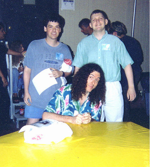
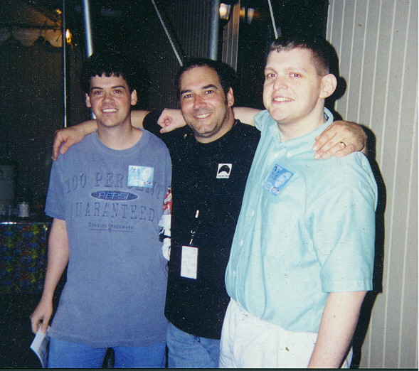
"Weird Al", Fred, and me "Bermuda" Schwartz, Fred, and me
September 23, 1999
Google groups: Early Borman designation ("Joint Highway signage" Sept. 12, 1996) (32383E3A.67E7@ilcnet.com)
October 23, 1999
South Bend, Michigan?
November 9, 1999
December 31, 1999
Clay High School homepage
January 14, 2000
Drew Carey FAQ (offline; Archive.org version) | Usenet version (grgh0toir7d51mmo98mh5ssp24va6ta0bl@4ax.com)
March 10, 2000
IN Hist Markers
OH symbols
Museum of Science and Industry, Chicago
Taco Bell Dog WAVs
URL shortcuts 405 the Movie
July 29, 2000
August 31, 2000
September 2, 2000
September 8, 2000
September 30, 2000
October 7, 2000
October 28, 2000
Erewhon album
November 12, 2000
November 18, 2000
You Are Where You Live
December 17, 2000
Chicago Transit & Railfan Web Site South Shore railfan site U.S. transit links
February 15, 2001 / May 6, 2005
February 27, 2001
United States climate
March 20, 2001
Tornado Project Online
May 22, 2001
Films made in Ohio
May 31, 2001
ESRI Hazard Map Flood Hazard Mapping The FEMA Flood Map Store
September 22, 2001
WTC panorama 2002 Olympic Torch Relay map 2002 Olympic torch information Powers of 10 illustration
December 9, 2001
First Usenet post (17362BD0B.MFANNIN@kentvm.kent.edu)
Cleveland waterfront development Cle Shoreway shift (see also m.t.r) Cle Planning department
December 18, 2001
icepack.org
January 3, 2002
Photo essays: BH SJ
January 7, 2002
BH East color topo Shuttle and Station Sightings
January 16, 2002
Indiana bills: Speed limit Speed limit, SJVP Red light US 31
January 29, 2002 / December 14, 2007
news.answers posting guidelines (on Usenet) Radio Crow Grading the Counties
January 31, 2002
Fannin soil (USDA-NRCS search | Henderson Co., NC, soil survey classification | Web Soil Survey)
February 6, 2002/April 17, 2006
Indiana/Ohio bills: Lincoln Way East Capital Ave/331 utilities Ashtabula bridge
February 18, 2002
Indiana bill: Malls
March 2, 2002
Ohio bill: Amish buggy road appurtenances
April 27, 2002
Drought Monitors: National Drought Mitigation Center CPC | Climate Division maps | 10/24/01 severe weather outbreak archive
May 7, 2002 / July 13, 2007
4/29/00 Whad'Ya Know? (US 31 plans) Real Audio clip
May 8, 2002
Big Chuck and Li'l John fan page The Svengoolie Web
May 10, 2002
Exchange rates
May 15, 2002
Rotographs (3D) including Michiana Old Michigan postcards
May 16, 2002
St. Joe River description (IN) Skyway/INTR/OHTPK/PATPK
May 20, 2002
Michigan bill: SW Mich airport
May 21, 2002
Friends of the St. Joe St. Joseph River Watershed page
May 31, 2002/September 30, 2003
Amish: FAQ Map End of the Commons (pop cite)
June 11, 2002
New Cleveland courthouse
June 22, 2002
Watershed divide map
June 24, 2002
Ozone map
June 25, 2002
Western Reserve history Heat Zone map Plant hardiness maps: 1 2
July 9, 2002
Ashtabula Railway Historical Foundation How far is it
July 16, 2002
INDOT history
August 30, 2002
Ohio bills: Turnpike Commission dissolution Turnpike budget
October 1, 2002
Top 50 television markets and their station/newspaper info
October 10, 2002
Newly-defined Census urban areas: Index | CSAs (former CMSAs) | All areas defined || State quarters: MI | OH | IN | Release schedule
June 12, 2003
Histories of towns in St. Joseph County, Michigan
July 22, 2003
Forgotten Ohio
July 24, 2003
Beyond Our Control Speed limit readout trailer
August 8, 2003
Great Lakes maps (Gifts of the Glaciers)
September 18, 2003 / January 26, 2006
Top 40 lyrics from 1930 on
October 2, 2003
South Bend's Historical Heritage
October 9, 2003
Remote Controlled Flagman
October 16, 2003
Benton Harbor Task Force report (.pdf)
October 23, 2003
Moderate Resolution Imaging Spectroradiometer (MODIS) Active Fire Mapping Program
October 27, 2003
Rock on the Net
December 4, 2003
Built Kalamazoo
December 10, 2003
Michiguide (West)
February 2, 2004
Rocky Mountain News: Commuting Kevin Flynn
February 3, 2004
South Bend-area modern and historic photos
February 4, 2004
Census Urban Area maps (2000)
March 5, 2004
2004 "326 Project" (Benton Harbor/St. Joseph)
March 8, 2004
Abonmarche Group (Benton Harbor)
March 9, 2004
3M Traffic Control Devices
March 10, 2004
Northeastern Ohio Scenes
March 16, 2004
Northern Ohio Association of Railroad Societies
March 22, 2004
MUTCDs: Ohio Indiana (Federal)
April 6, 2004 / January 26, 2006 (rev. July 28, 2008)
April 3, 1974 tornado outbreak
April 7, 2004
Penn Central site
April 27, 2004
The Phrase Finder
June 4, 2004
Ohio DOT Sign Design Manual 2003 pre-2003 BR marker .pdf
June 10, 2004 / June 18, 2007 / June 20, 2007 / July 28, 2008 / February 18, 2011
Contrabass mania
July 15, 2004
Letterboxing (ODP)
August 24, 2004
Michigan DOT plans (Standard Highway Signs manual, MMUTCD, etc.) | SHS: Guide: Marker | MMUTCD (.pdf)
November 30, 2004/September 16, 2008/July 29, 2009
PA: Official Traffic Control Devices (MUTCD supplement) HTML April 16, 2005/September 16, 2008 | PDF February 10, 2005 | Alt December 14, 2007 | PENNDOT publications list Handbook Of Approved Signs (PUB 236M) Traffic Control-Pavement Markings and Signing Standards (PUB 111M) September 16, 2008
The Word Detective
April 16, 2005
FAA sectional charts CHI DET
May 23, 2005
Michigan school system maps
July 21, 2005 / June 18, 2007
INDOT Standard Drawings / Standards Book (Designers) | Design Manual (with links)
Bill lookups on homeedit April 4, 2012
NASA satellite images January 26, 2006 / December 14, 2007 / August 15, 2009
State of Ohio Classification Specifications USDA NRCS Land Cover/Use
February 2, 2006
American Federation of Musicians
Locals: Benton Harbor/St. Joseph (232) | Kalamazoo (228) | South Bend (278) | Cleveland (4) | Warren (118) | Akron (24) | Canton (111) |
Youngstown (86-242) | Lake/Geauga Counties (657) | Erie (17) March 10/April 17, 2006
Great Lakes Ports O' Call (PBS) | Demis Web Map Server
March 20, 2006
U.S. geologic provinces USGS Tapestry | Hydrologic Atlas for Ohio | Southwest Michigan Fruit Belt Project | Wetlands map | OpenStreetMap
April 17, 2006
Online Map Creation
May 25, 2006
Various state sign design manuals, etc. | History of Michigan Road Maps
June 18, 2007
Lost in Translation
July 11, 2007
Lake County [Ohio] Blog
July 13, 2007
Utah 7.5' quads | aCharts.us | Broer Map Library | Lake Shore Electric Railway | NYS supplement MUTCD | "Indiana works, Michigan plays" (People & Places: Berrien County) SBT June 29, 2007 | Across Indiana "The Roadmaster" (Episode 1303, October 21, 2002): 1 2 | Illinois Historical Aerial Photography 1938-1941
December 14, 2007
Billboard "Weird Al" bio/discog/chart perf | Infoplease 1971 | Cartoon character skeleton sketches | NC official maps, all years | AndreBernier.com/ | USGS topos at Archive.org Sodus .tif Other maps | Wik: List of U.S. state legal codes / Ohio Revised Code | Railroad History of Michigan Berrien | New York Central Michigan Division - North | Conrail's South Bend Secondary Line-1982 | New York Central, Page 3 - South Bend - Niles, Michigan Line
August 6/September 16/September 23, 2008/August 15, 2009
Northeast Ohio unusual street names (9/3/07, links to 8/31/07 articles) | NATS minutes
September 23, 2008/July 29, 2009/December 22, 2009
Local Storm Report App
April 29, 2011
Niagara Falls webcam
October 11, 2011
Some links have moved to the main page