
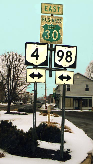
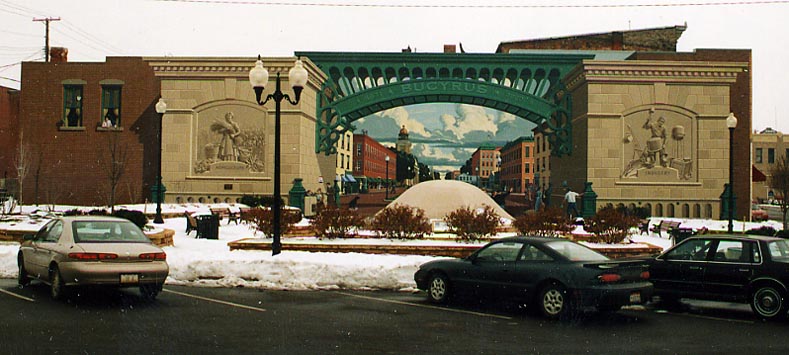
Bucyrus, downtown rotery: The more standard business sign color scheme. (Left Photo from Dec. 2000, Right Photo from March, 2003)
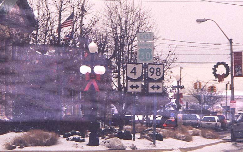
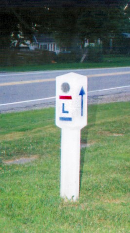
Left Photo - Close up on the LHA concrete post for Bucyrus
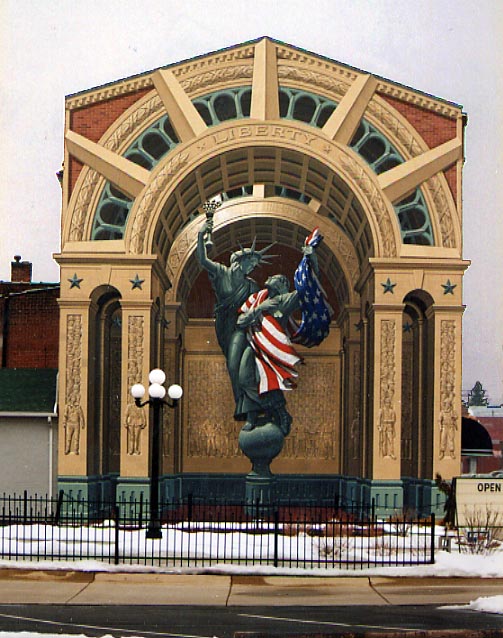
Right Photo - City Mural #1. Located just northwest
of the city square (and the Lincoln Highway) this one comemorates
our Armed Forces and "Liberty"
Both photos
taken in March, 2003
Bucyrus Mural # 2. The pile of sand in front is not part of the painting (and makes it hard to photograph this without interference). The painting goes all the to left edge of the photo till almost the right edge (light poles not included)
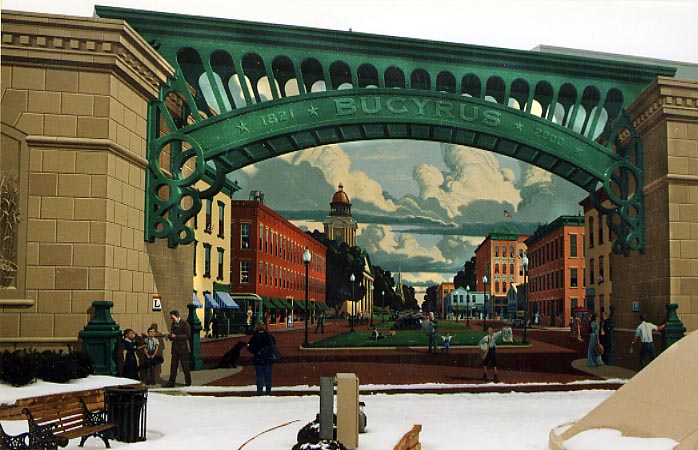
A closer view of the center of the mural. A picturesque view of Bucyrus (and figuratively of the Lincoln Highway).

This photo on the left is smaller version of a photo I took of a sign explaining the mural (see above) of Bucyrus.
Click on the left photo and you'll see a larger version and hopefully the explainations on the significances of the mural will be legiable for you to read.
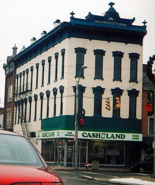
The old Bucyrus City Bank (constructed in 1881) is now the home for a check cashing business. Bad sign for Downtown Bucyrus. Photo taken in December, 2004
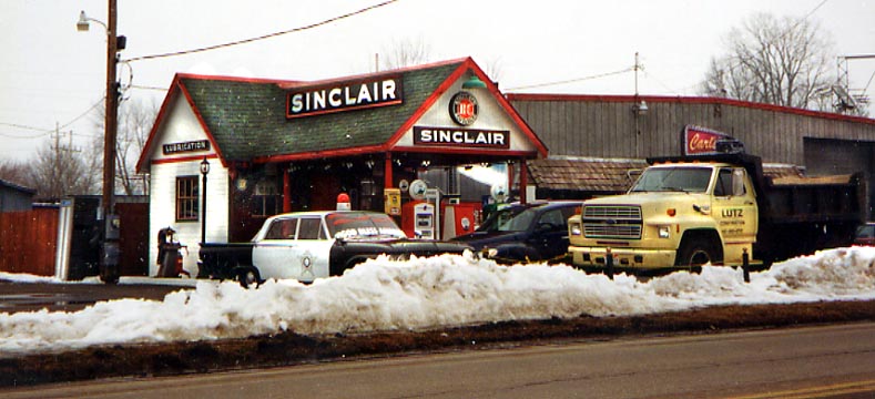
I thought Sinclair Oil pulled out of Ohio back in the late 1960s/early 1970s. Where did this come from? My understanding, from Lincoln Highway friends in this area is that the owner here likes old automobiles and Petroania stuff. Along Oh 19/100 on the southside of Bucyrus.
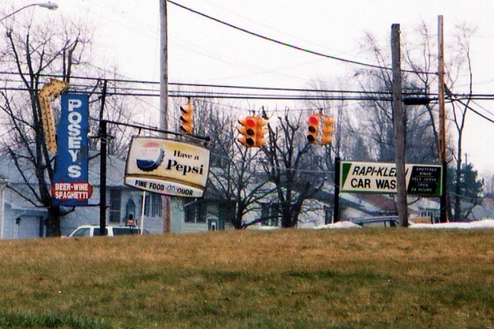
There several commercial signage relics. Both the Poseys and the Pepsi signs have to be at least 40 years old. Along Hopley St in Bucyrus (photo taken in December, 2004)
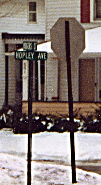
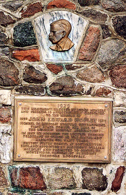
John Hopley was a local politician who did alot of politicing to route the Lincoln Highway through Bucyrus (much to the chagrin to Marion to the south). When he passed away a local street was named after him (see above left) and due to his involvement with the Lincoln Highway, a monument was erected to the east of Bucyrus in his memory (see above right)
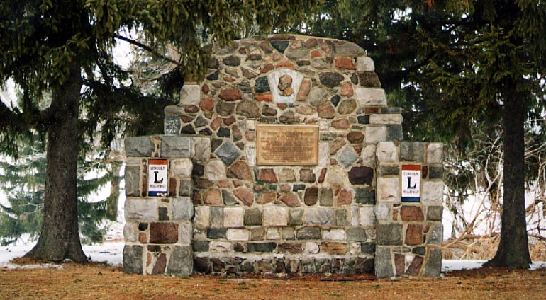
I have been told that the rocks used in this monument to John Hopley, each came from a different state and country....
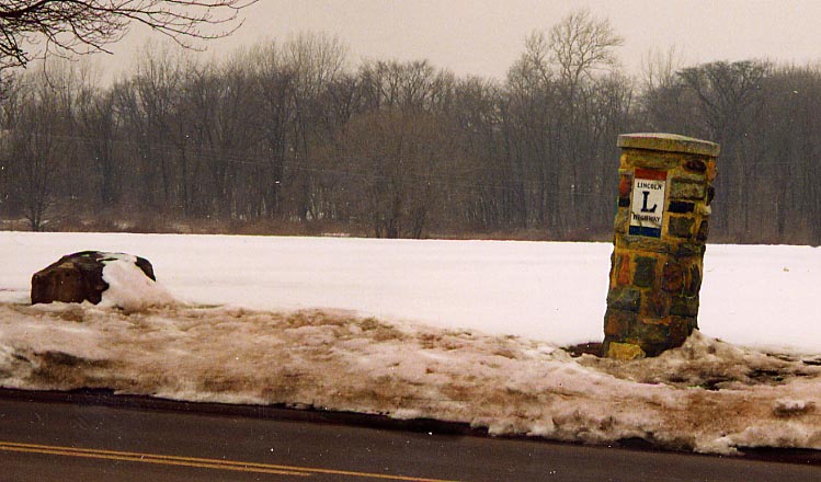
...and that after the memorial was erected, there was still
plenty of leftover rocks, so they were used for this pillar, just
down the road from the main monument.
All Photos
up to this point were taken in March, 2003
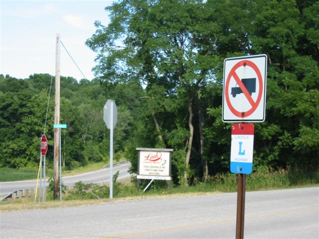
Leesville Lincoln Highway Post
This particular post is west of Leesville ont the southside
of the US 30 and Leesville (old Lincoln Highway) Rd intersection.
Photos by Brian Reynolds. (from 2002).
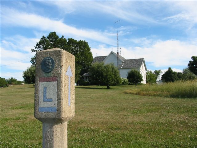
Front Facing of Post
Looking East
Looking West
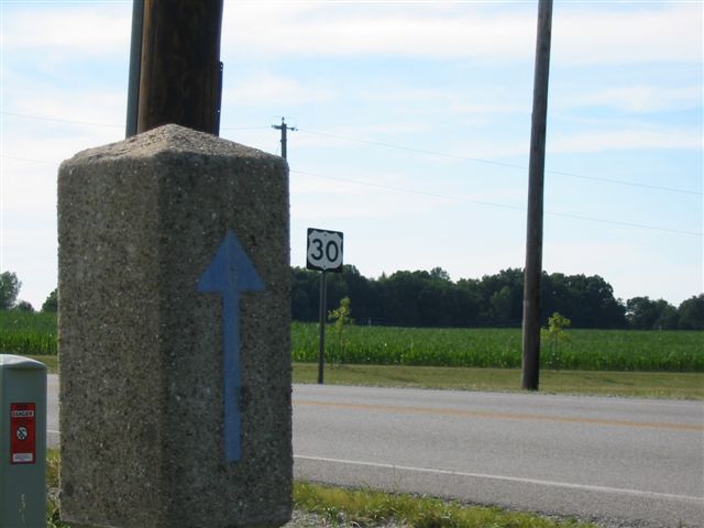
OLHL Placard This is on EB Leesville Rd, west of Leesville.
One of the first sections of the LH/US 30 to get bypassed.
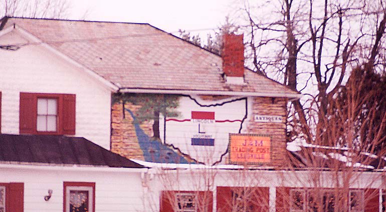
Leesville: This is the back of the Lincoln Highway trading
post, run by Joe Everly (Local LHA member). Yes, he's proud to
live along the Lincoln Highway
(Photo from Winter,
2001)
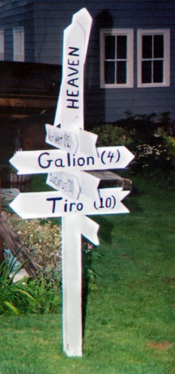
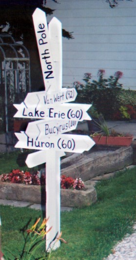
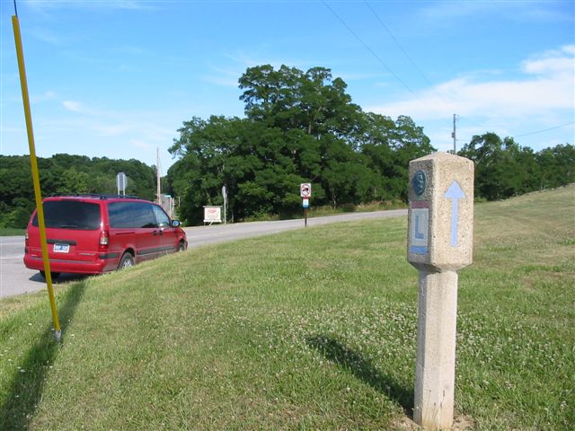
And in front of Joe Everly's residence is this collection of
signs and milage to towns along the way
The concrete
Lincoln Highway post (photo on far right) is across the street
from the Everly's residence. It is a replica post (all 3 photos
taken in July, 2004)
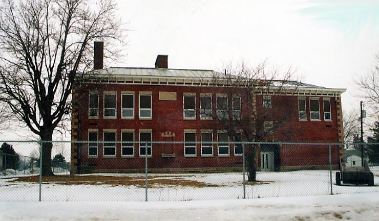
Old Leesville School. I don't know if it is an elementary or
high school. Along Leesville Rd (Old Lincoln Hwy), east of Leesville.
(Photo from March, 2003)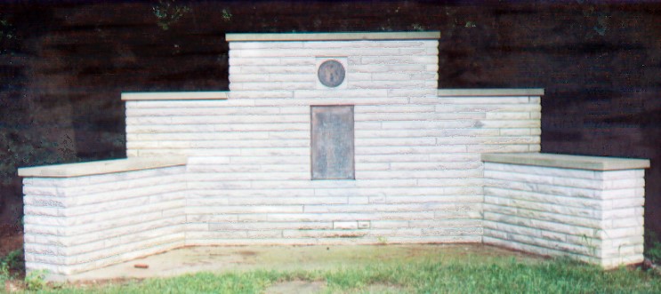
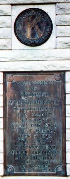
On the eastside of Leesville is this white brick memorial to Colonel William Crawford. Evidently Col. Crawford was captured near present day Leesville during the Revolutionary War by Indians (not from Cleveland). According to the plaque, on the right, this memorial was erected in 1927, after the Lincoln Highway was routed through here, but before this section was designated US 30 and then bypassed. (Photos taken in July, 2004)
Page created on February 14, 2004/ last updated on May 18, 2005
Questions, comments, and submissions can be sent to Sandor Gulyas
Go west to the Lincoln Highway in Wyandot County Page | Go east to the Richland & Ashland Counties Page | Return to the Ohio Lincoln Highway Page