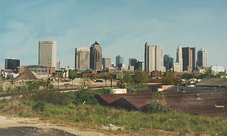
This skyline view is from along I-670 EB between Neil Ave and Oh 315 from April, 2002. This view would be better if not for the telephone poles and electric wires in the foreground (some of which I erased)
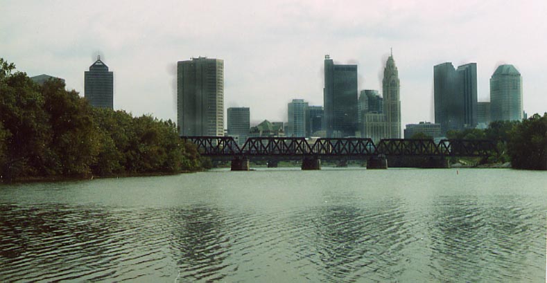
This skyline photo is taken at the confluence of the Olentangy and Scioto Rivers (underneith the Confluence Park Restaurant). This seems to be the popular look of Columbus for the local weather reports (Channels 10 and 4 uses variations of this look during their weather forecasts). Photo taken in September, 2003
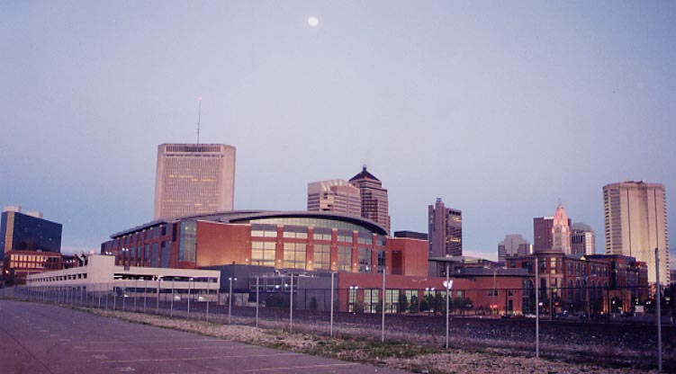
If it wasn't for the cyclone fence protecting the railroad from us, this would be a perfect photo of the Columbus skyline at dusk. Near the intersection of Neal Ave and Vine St. Photo taken in April, 2004
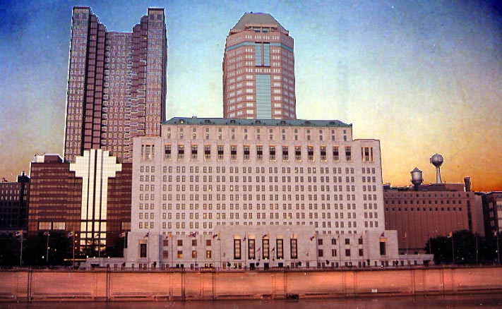
Several buildings in Downtown Columbus along the riverfront at dusk (Photo taken in May, 2004)
Reverse Skyline
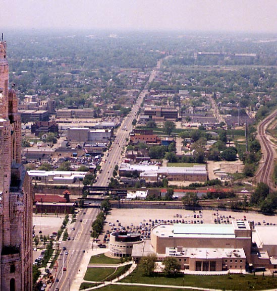
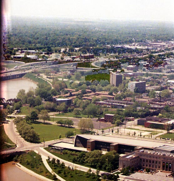
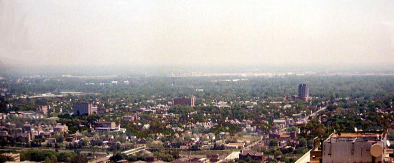
The next 5 photos are various views of Columbus from the top floor of the Rhodes State Office tower, the second tallest building in Columbus. (All were taken in May, 2004)
Looking west, following Broad St through Franklinton out to the Hilltop region.
Looking southwest towards COSI (former Central High School), Franklinton, The I-70/71/315 West split (aka Mound-Sandusky), and Greenlawn Cemetary.
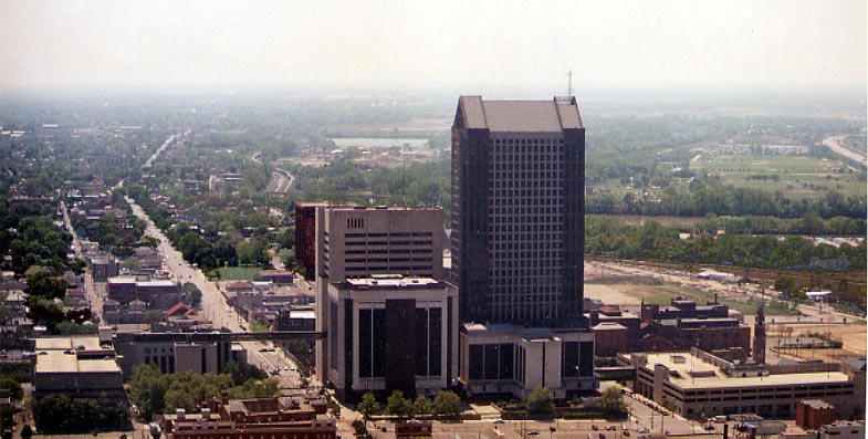
Looking generally south. That is the Franklin Co. Courthouse complex that dominates this photo. High St is the wide arterial on the left side of the photo.
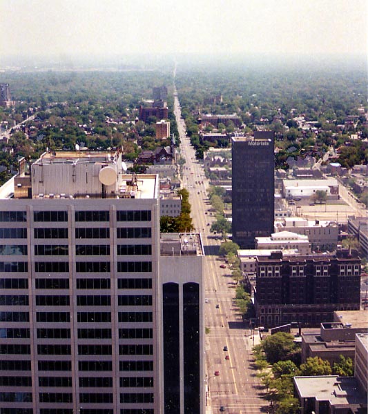
Looking east following Broad St all the way east to Bexley and Whitehall.
Looking northeast towards Port Columbus Airport with predomately black Mt. Vernon district in the foreground.
Page created on June 10, 2004
Questions, comments, and submissions can be sent to Sandor Gulyas
Return to the Columbus Virtual Roadtrip