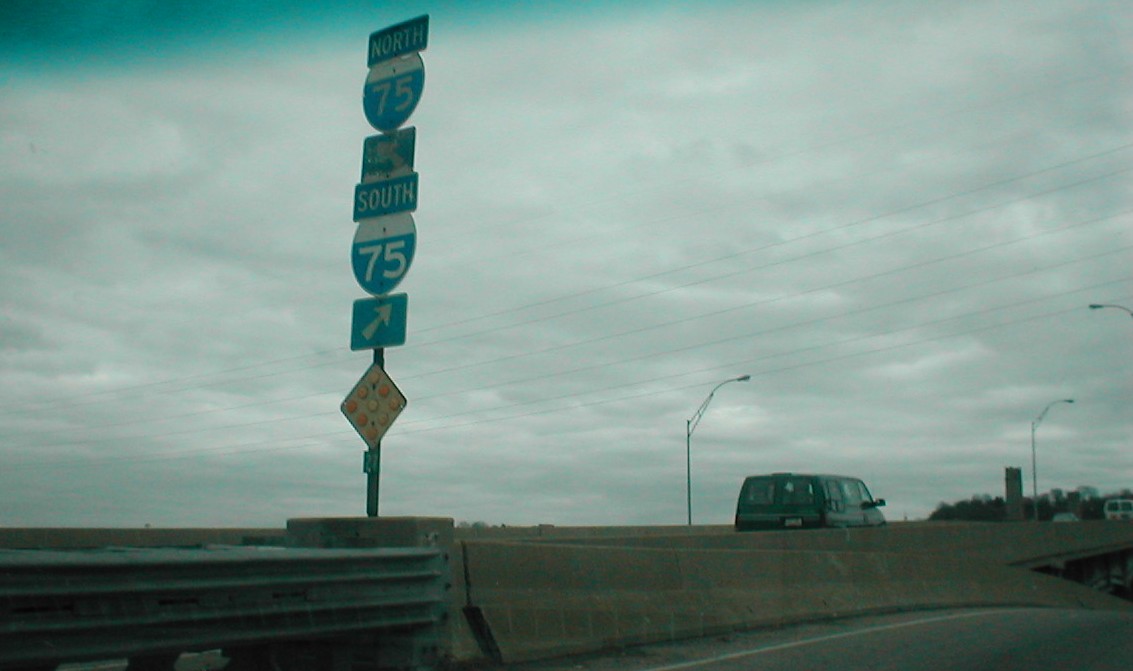
Taken 11-24-01
Eastbound on the upper level. US 52 used to go over the upper level of the viaduct. That is what some of the blank spaces are from (the others are whatever state route was on State St).
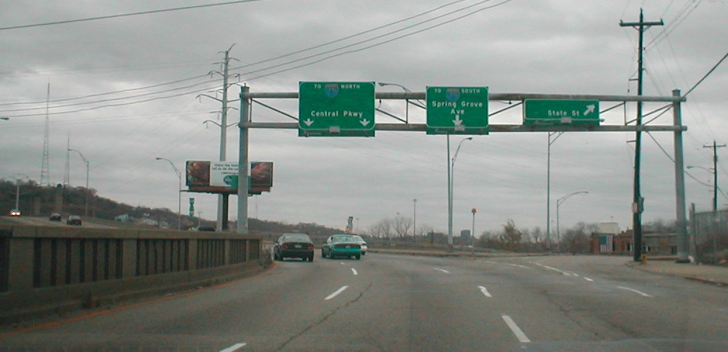
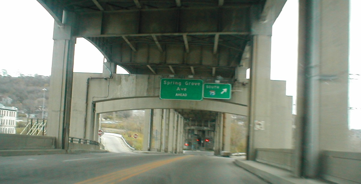
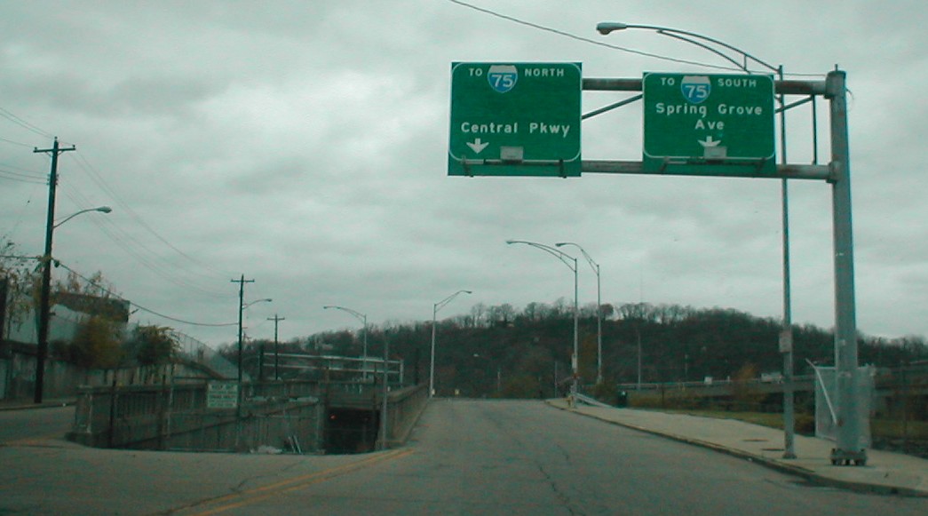
Taken 11-25-01
Eastbound on the upper level; the split to the right (I-75 south) goes to the lower level.
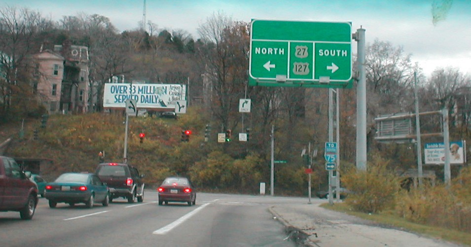
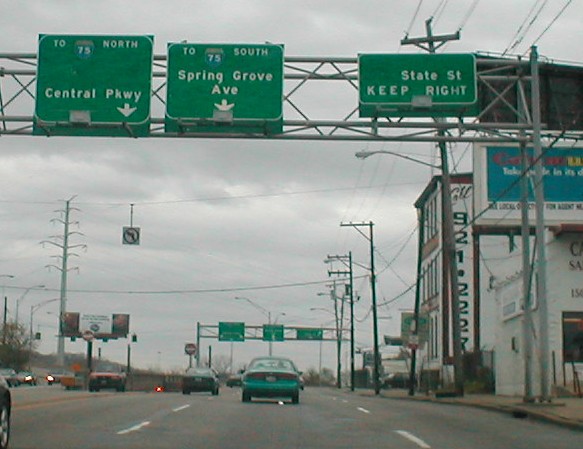
Taken 11-24-01
Eastbound on the upper level. The street at the end (Central Pkwy) is also US 52 (west is left, east is right). US 52 used to go over the upper level of the viaduct, so US 52 east turned right here but left was not US 52 west. That is what some of the blank spaces are from (the others are whatever state route was on State St).
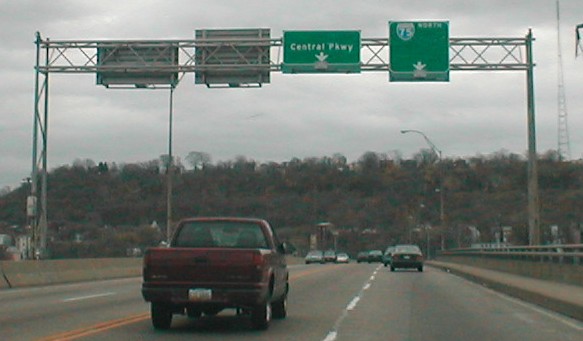
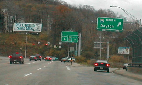
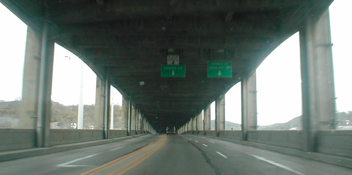
Taken 11-24-01
Westbound on the upper level. US 52 west used to use Harrison Ave.
Taken 11-25-01
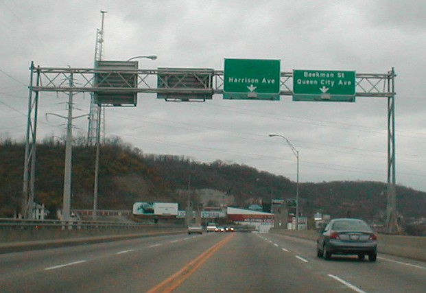
Eastbound on the lower level.
Taken 11-25-01
Westbound on the lower level.
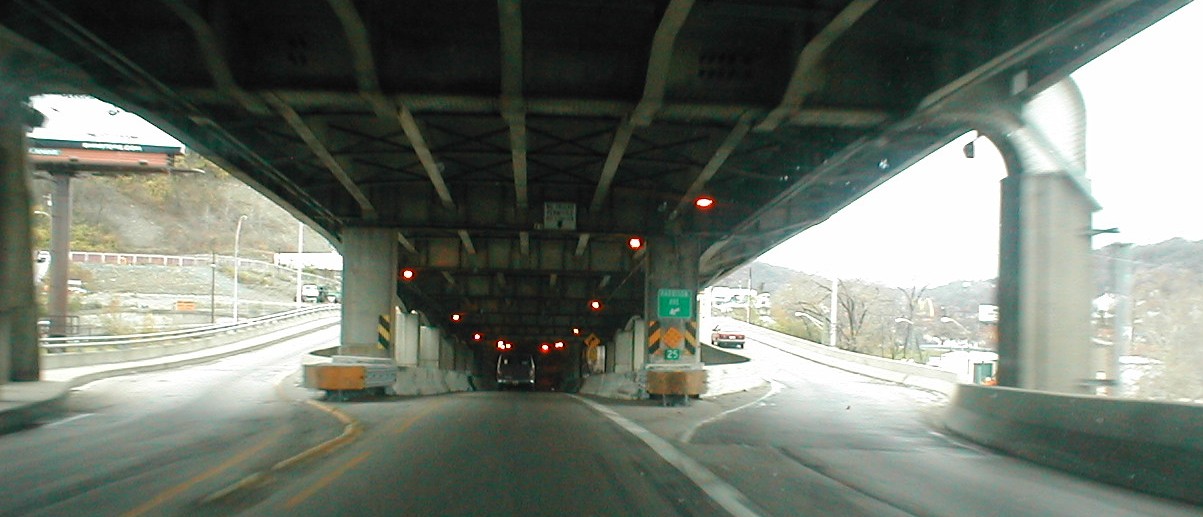
Taken 11-25-01
Entering the viaduct eastbound from State St. The viaduct soon splits between the upper and lower levels.
Daniel Moraseski
Return to Cincinnati area photos