
The Goat Path
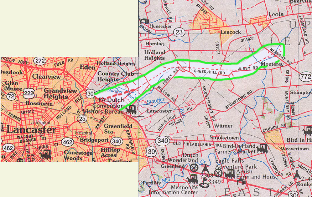
The Proposed Lancaster-Norristown Expressway
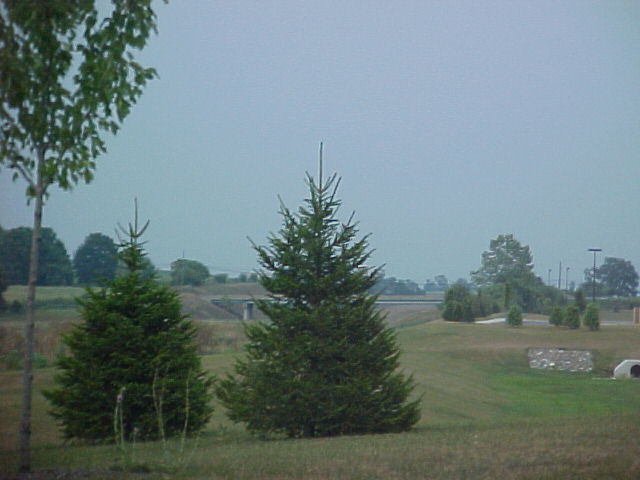
Rte 772 would be ramp to the east
Rte 772 interchange West view
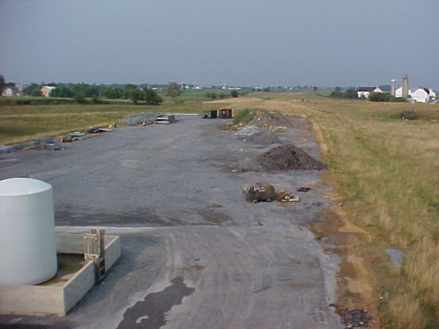
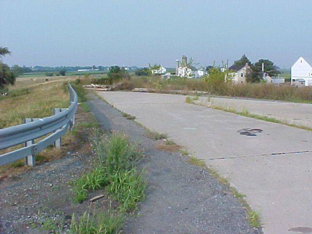
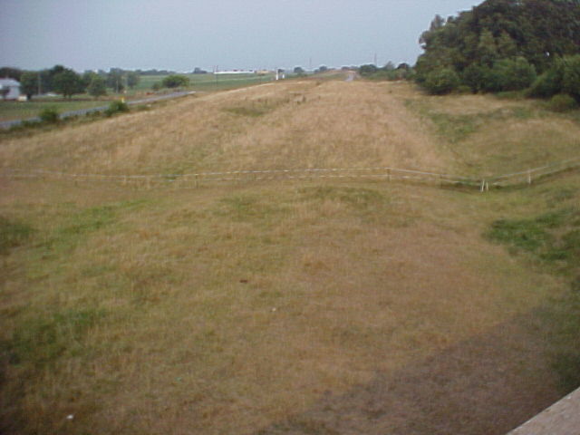
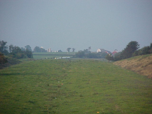
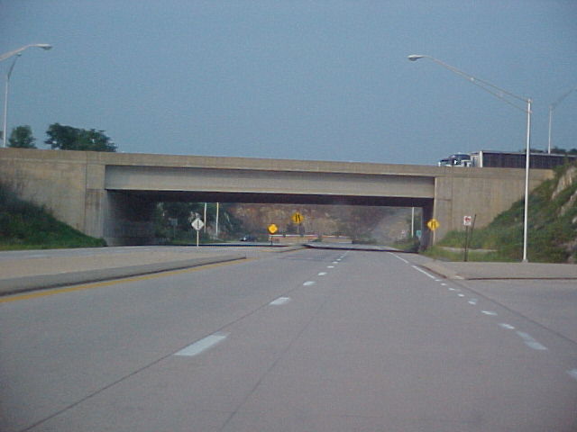
772 Interchange ..Looking east of the bridge at the roadway... wide angle
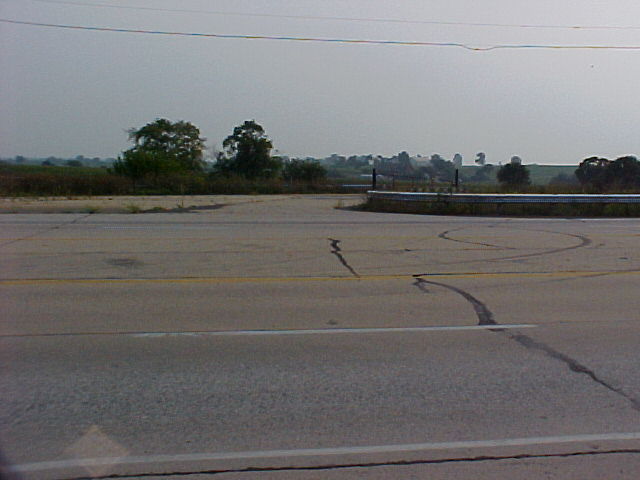
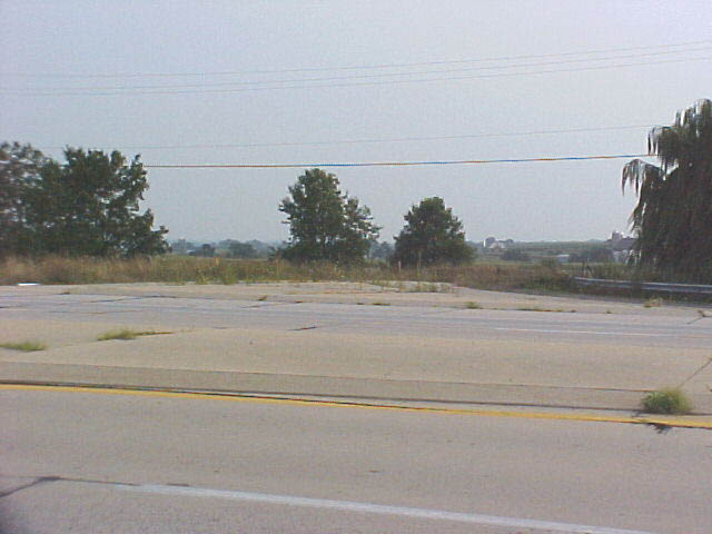
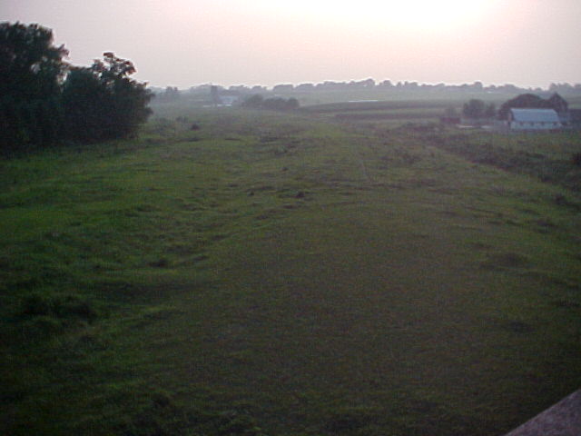
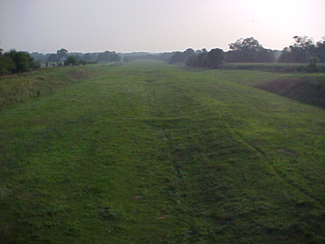
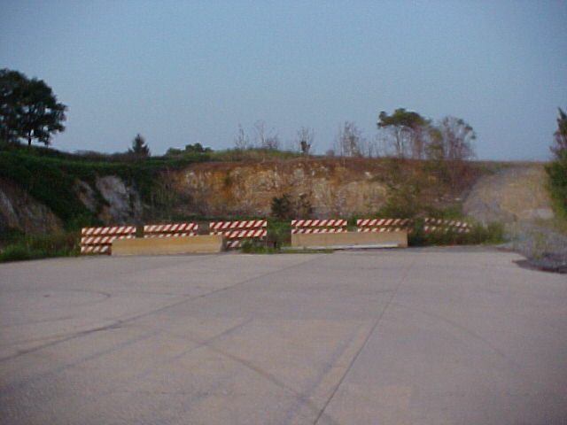
East of the PA 772 bridge, down at the roadway...zoomed (looking out southeast of Loala)
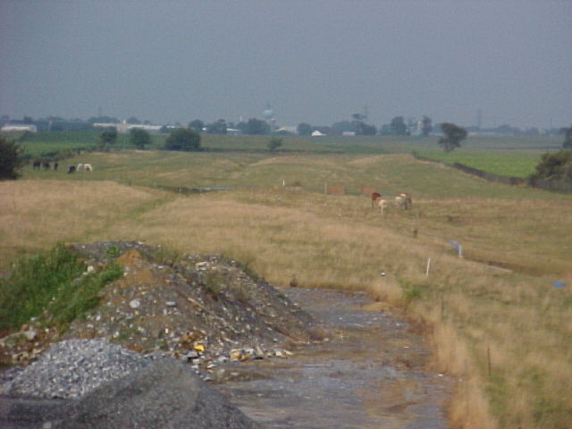
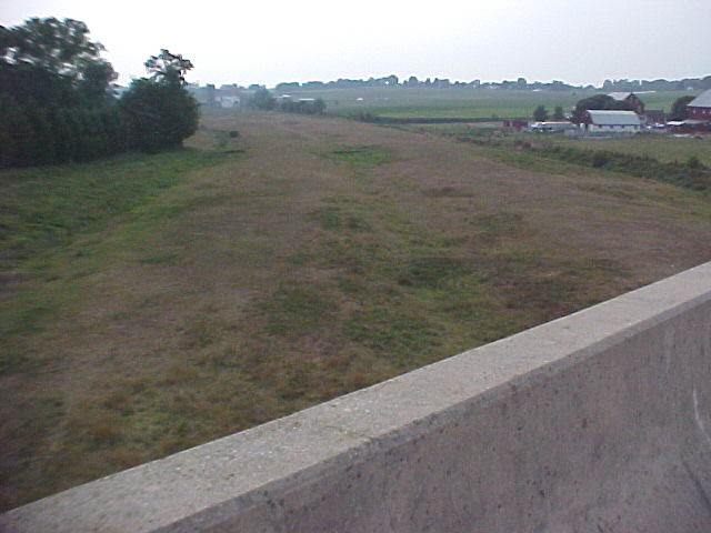
West view of the right-of-way (I presume from PA 772)

West view right near the (north end? of the) bridge...
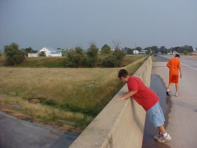
East side of the bridge...see the guardrail for the entrance ramp by the car (off in the distance). Steve's nephews here in the foreground.
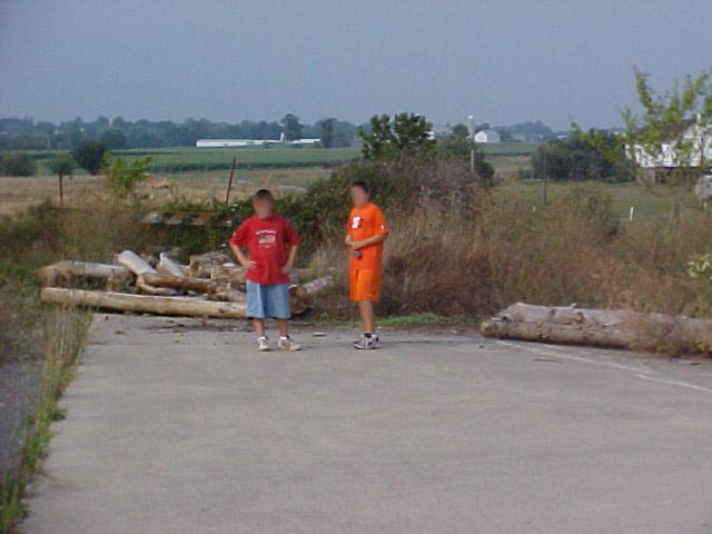
Here Steve's nephews are pictured on one of the old entrance ramp
Exit ramp for westbound, I believe.
another one...for eastbound, I believe.
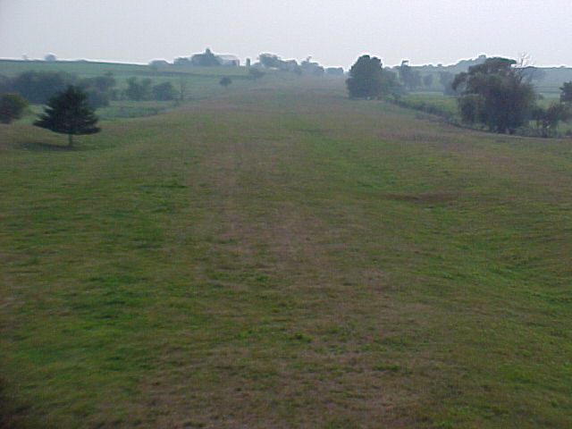
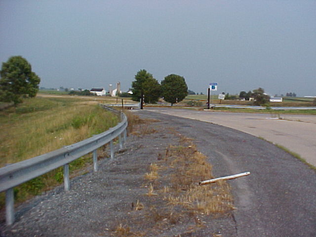
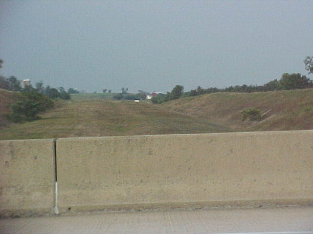
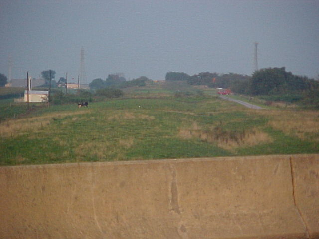
A bridge west (Horseshoe Rd?) of the rte 772 interchange. There is no highway up there, it's just graded grass for the highway.
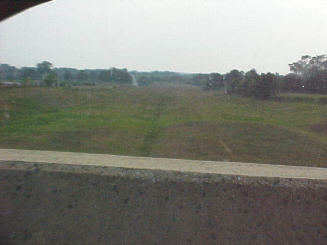
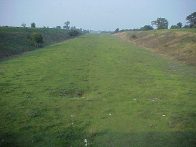
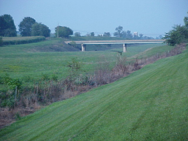
From another bridge between Rte 30 and rte 772. Looking to the east.
Same bridge, now looking west.

I can't tell if it's east or west in these two 2 pics. I think this is west...
Thus this would be east....I think.
Looking west from yet another bridge...
The view east from the same bridge (Forey & Mount Sidney Rds?)
Looking west from Creek Hill Rd (Photo from August, 2004)
Looking east from Creek Hill Rd (Photo from August, 2004)
Look east from Willow Rd (Photo from August, 2004)
Still looking east from Willow Rd, but Steve maxed the zoom out on this photo (Photo from August, 2004)
Now looking west from Willow Rd (Photo from August, 2004)
From the beginning of the Goat Path ...at the Bosch parking lot looking east. (Photo from August, 2004)
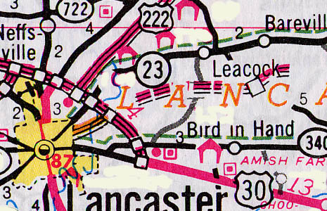
PA 23 @ US 30
From a bluff above, looking down upon the eastern extent of the PA 23 Blvd on the eastern outskirts of Lancaster (Photo from August, 2004)
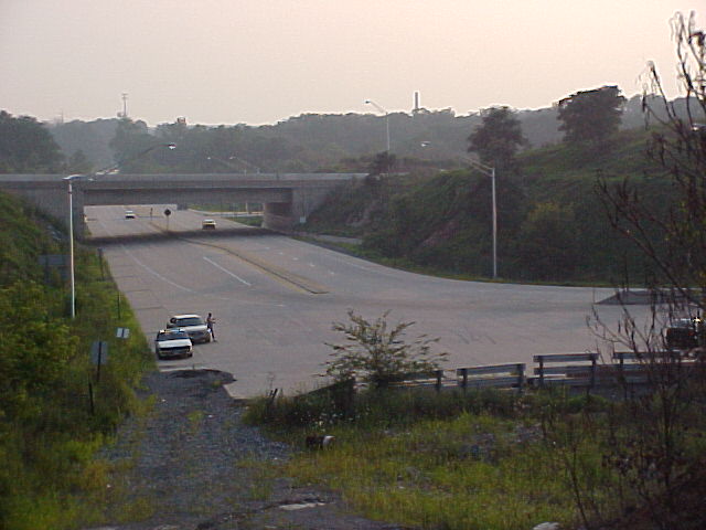
Now down at street level looking at the end of the drivable part of the Goat Path (Photo from August, 2004)
Pa 23 on the westside of US 30 looking at the end of the road (Photo from August, 2004)
Derrick Brashear's "Goat Path" photos
Page created on December 5, 2003/ last updated on September 2, 2004
Photographs and text by Steve Mannix (other text and maps provided by Sandor Gulyas)
Return to the SEPA Road Page | Steve Mannix Collection