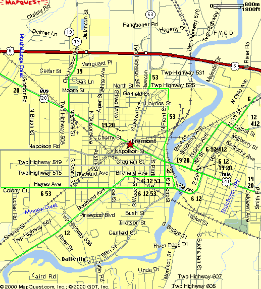
The Fremont City Routes
When the bypass around the north and west sides of Fremont
was built in 1960, Fremont set up "City Routes". As
far as we know, these routes show up on no maps. They are marked
only within the Fremont city limits, presumedly since they were
created by the city, and subsequently usually do not connect to
the respective mainline routes outside the city.
The
following map and table shows the routings of the Fremont "City
Routes."
| Oh 53 | US 6/Oh 53 | US 6/Oh 12/Oh 53 |
|
|
US 6 | Oh 12/ Oh 412 | US 6/Oh 12 |
US 6/US 20/ Oh 12/Oh 19 |
|
|
|
|
Buckland |
|
Walnut |
Fifth | Walnut |
Fifth |
|
|
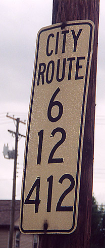
In 1970, Ohio 12 was truncated at Ohio 53 southwest of town, and the old Ohio 12 northeast of town became Ohio 412 from US 20/Ohio 19 eastward. In between, to make the transition, City Route 12 gradually becomes City Route 412 east of downtown, and the two even exist together at one point, as shown in the picture.
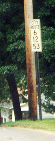
The two directions of the overlap of City Routes 6, 12, and 53 run on parallel alignments due to one-way streets (parts of Hayes and Birchard Avenues). Even though the streets become two-way west of (I believe) Park Avenue, the split continues.
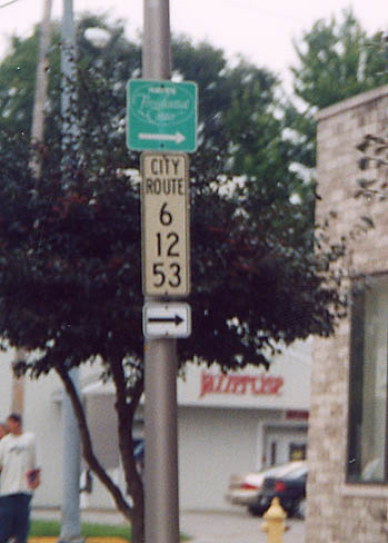
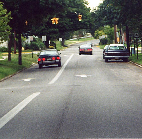
City Routes 6, 12 and 53 southwest of downtown at a turning point
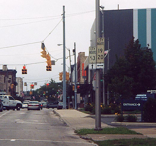
City Route 53 Southbound (Front Street) at City Routes 19 and 20 (State Street) in downtown
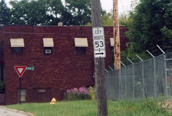
City Route 53 Southbound where it turns from North Street to Front Street on the north side of town
Other Fremont Photos
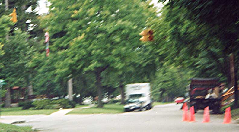
These pavement arrows show up at regular intervals on this street, even away from intersection approaches. This is either Hayes Avenue or Birchard Avenue.
The lights flash alternately (the one that was supposed to
be on when the picture was taken was burned out).
On
Birchard Street at Buckland Street

Ohio 53 Southbound at the bypass (US 6/US 20/Ohio 19)
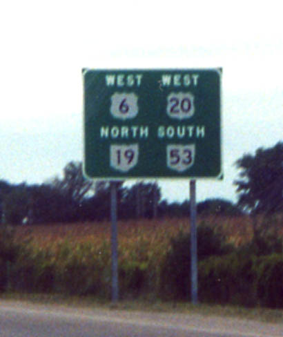
Rather than make a bunch of markers, ODOT just decided to make one large sign for US 6 and 20 West, Ohio 19 North, and Ohio 53 South. (Another one of these exists for the opposite direction and another is on US 6 and 20 and Ohio 2 West on the west side of Cleveland.)
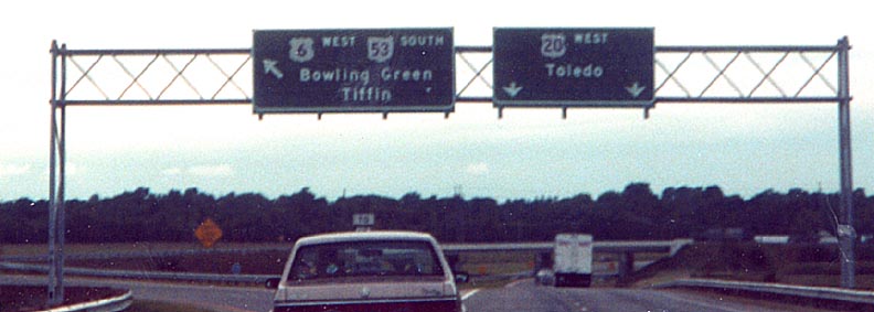
The car ahead is partially blocking a "[To]{Ohio 12}[upper left arrow]" sign assembly. Link to map of this mad interchange
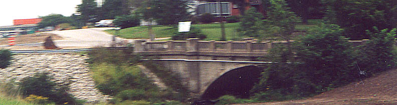
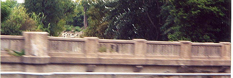
This bridge is located on Port Clinton Road just south of where it splits to the east from Ohio 53 south of the Ohio Turnpike. Port Clinton Road is most likely old Ohio 53.
Fremont's biggest claim to fame is being the home to the Rutherford B. Hayes Presidential Center.
Page created on December 17, 2002/Last revised December 8, 2003
Questions and comments can be directed to Sandor Gulyas
Return to NW Ohio Regional Page