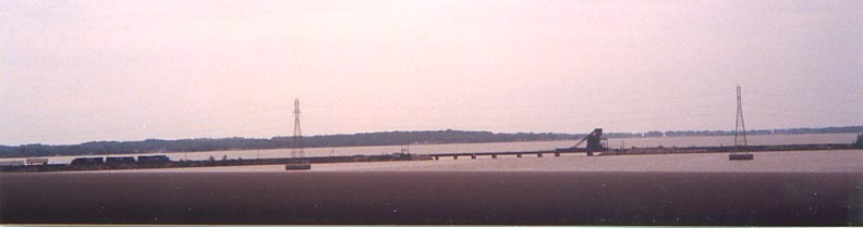
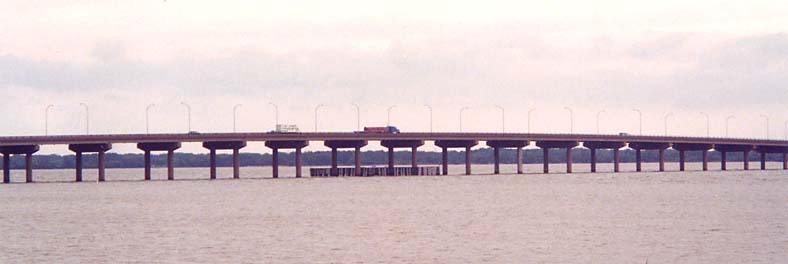
Ohio 2 used to cross Sandusky Bay, the wide mouth of the Sandusky River, on a lift bridge between Bay View and Danbury. When the Ohio 2 freeway was built through this area, a new bridge was built to the west of the lift bridge to carry Ohio 2 across the bay. This bridge is now called the Thomas A. Edison Memorial Bridge, to honor the inventor born in nearby Milan, and is locally known as just "the Bridge". Ohio 269 took over the lift bridge route and the route of old Ohio 240 north of the bridge. Sometime in the early 1990's, the lift bridge span was removed and the approaches turned into fishing piers. Ohio 269 was shifted to the Ohio 2 freeway. A railroad bridge carrying Norfolk Southern tracks also crosses the bay here, to the east of the current and old highway bridges (in fact, it's the furthest-downstream crossing of the bay). All three of these crossings include causeways. Here is a map of the bridge area.
The Railroad bridge (still in use) From the southern old lift bridge approach
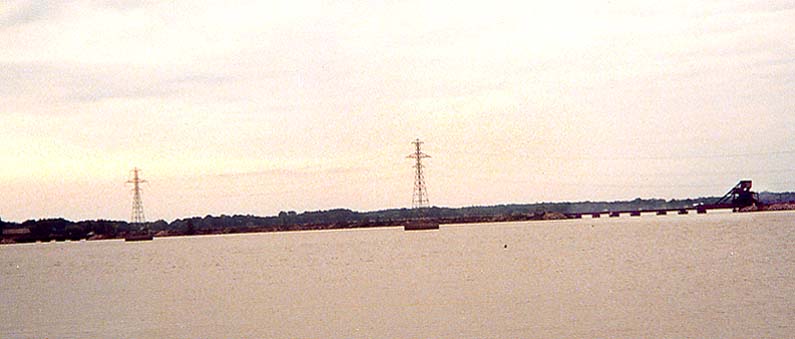
The old lift bridge approach (South end)
Where the guardrail crosses the road is the south end of the gap where the lift bridge used to be. Notice the Edison Bridge on the left side of the picture.
Bay View is straight ahead.
Thomas A. Edison Memorial Bridge
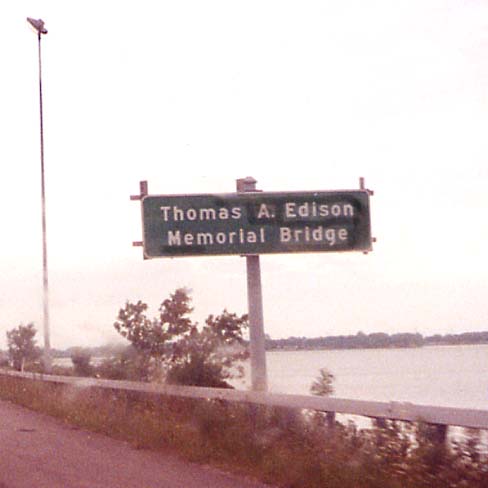
Sign with the official name
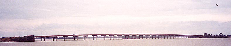
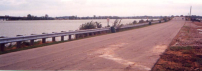
The bridge (from the old lift bridge)
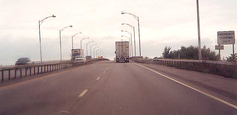
On the eastern end of the bridge going WB on Oh 2
The overhead sign is for the Ohio 269 exit to Bay View and Castalia. Castalia is famous for the Blue Hole, an oxygenless and supposedly bottomless pool of water.
See also ODOT's photographs of the bridge and its approaches: Ottawa County side | Erie County side
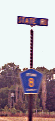
Ottawa County uses gold-on-blue pentagons for its county routes like other counties in the U.S. do. In addition, it also gives the name of the road on a street sign above the marker (in other words, in the photo, CR 8 is not intersecting State Road, it is State Road). CR 8 here, between Port Clinton and Danbury, is the pre-freeway Ohio 2 routing.
Port Clinton - known to the world as "the Walleye Capital of the World" due to the large presence of that species of fish in the adjoining section of Lake Erie.
A drawbridge carries Lakeshore Drive (Ohio Route 163, formerly Ohio 2) over the Portage River just north of downtown Port Clinton. ODOT photos of the drawbridge
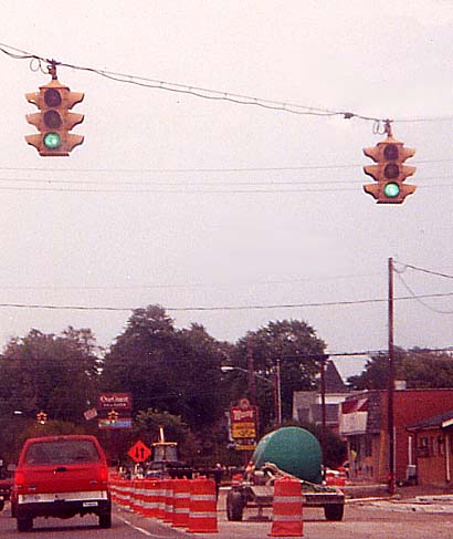
Here are some old traffic signals along Perry Street (Ohio 163) Eastbound on the north edge of downtown at Madison Street (foreground) and Jefferson Street (background). The foreground intersection is where Ohio 53 used to join Ohio 2 to head east.
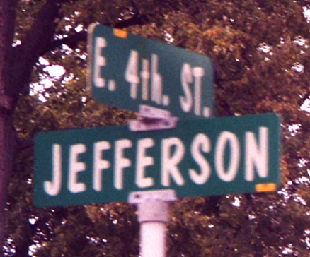
Port Clinton's street signs use an unusual semi-italic font.
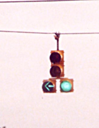
This signal, similar to ones found in Pennsylvania, is located on Westbound Perry Street (Ohio 163, old Ohio 2/53) at Maple Street.
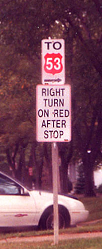
What is wrong with this picture? Port Clinton now uses these signs along old Ohio 53 (Madison Street, Third Street, Harrison Street, and Fremont Road) to guide motorists to current Ohio 53 southwest of town.
The arrow is on a disk which can be rotated to make the arrow point in any direction.
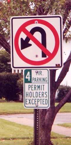
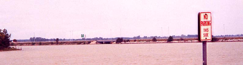
These signs are used downtown to prohibit motorists from turning into diagonal parking spaces across the street.
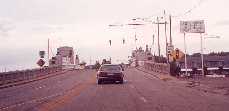
Because of the interchange configuration between Ohio 163 and Ohio 2/53 on the east side of town (map), all traffic for both directions of either highway is directed to the right from both highways. On Ohio 163 Eastbound
Page created on December 17, 2002/Last revised March 14, 2004
Questions and comments can be sent to Sandor Gulyas
Return to NW Ohio Regional Page